Near Springfield in Robertson County, Tennessee — The American South (East South Central)
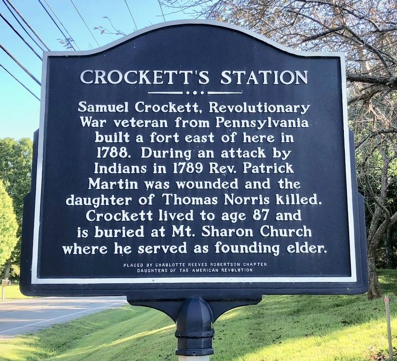
Crockett's Station
Erected by Charlotte Reeves Robertson Chapter Daughters of the American Revolution.
Topics and series. This historical marker is listed in these topic lists: Forts and Castles • Native Americans • War, US Revolutionary. In addition, it is included in the Daughters of the American Revolution series list. A significant historical year for this entry is 1788.
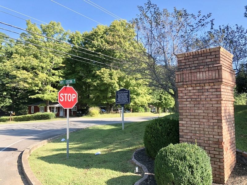
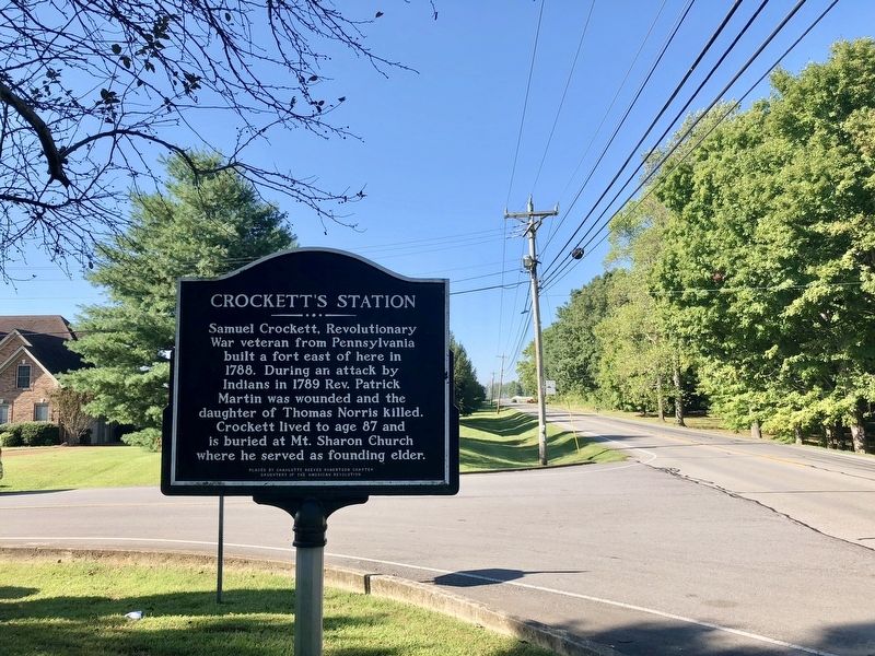
Location. 36° 28.156′ N, 86° 56.637′ W. Marker is near Springfield, Tennessee, in Robertson County. Marker is at the intersection of Tennessee Route 49 and Burts Crossing Road, on the right when traveling north on State Route 49. Touch for map. Marker is in this post office area: Springfield TN 37172, United States of America. Touch for directions.
Other nearby markers. At least 8 other markers are within 5 miles of this marker, measured as the crow flies. Saint Michael's Mission (approx. 0.8 miles away); Mount Zion (approx. 0.9 miles away); Battle Creek Massacre (approx. 2˝ miles away); Nave's Crossroads (approx. 2.6 miles away); Peoples-Tucker School (approx. 4 miles away); Springfield Historic District (approx. 4 miles away); Morgan's Return (approx. 4.1 miles away); Springfield Historic District (approx. 4.2 miles away). Touch for a list and map of all markers in Springfield.
Credits. This page was last revised on September 16, 2018. It was originally submitted on September 16, 2018, by Mark Hilton of Montgomery, Alabama. This page has been viewed 879 times since then and 68 times this year. Photos: 1, 2, 3. submitted on September 16, 2018, by Mark Hilton of Montgomery, Alabama.


