Portsmouth, England, United Kingdom — Northwestern Europe (the British Isles)
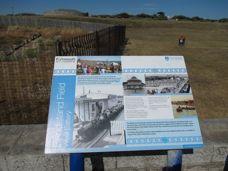
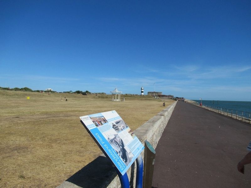
Bandstand Field
West Battery
Band concerts have been a popular form of entertainment since the 1800s A bandstand from the 1920s now tons the centre piece of the nearby Southsea Skatepark, which opened in lune 1978 A dance floor originally surrounded this bandstand but after the war it as converted to a roller-skating rink.
1930 saw the completion of Children's Corner, constructed to the west of Bandstand Field. Attractions included boating, paddling and a swimming pool but most popular was undoubtedly the miniature steam railway.
Miniature engineering at its finest, the trains had immense 'pulling power and adults and children alike were drawn to admire the mechanics of these Pygmy engines.
The paddling pool survived until the mid-1980s when the site was made over to an aquarium.
The Millennium Promenade stretches from Portsmouth Historic Dockyard to Southsea Castle. It is marked out by a chain link in the ground or by columns topped with the Millennium motif. Follow the trail to discover the hidden history of the city's waterfront and enjoy the ever changing views of the Solent.
For further information a leaflet is downloadable from www.visitportsmouth.co.uk or available on request from Visitor Information Centres.
Topics. This historical marker is listed in this topic list: Forts and Castles.
Location. 50° 46.747′ N, 1° 5.519′ W. Marker is in Portsmouth, England. Marker is at the intersection of Clarence Esplanade and Ave De Caen, on the right when traveling east on Clarence Esplanade. Located at Southsea Castle on the Clarence Esplanade. Touch for map. Marker is in this post office area: Portsmouth, England PO5 3PA, United Kingdom. Touch for directions.
Other nearby markers. At least 8 other markers are within walking distance of this marker. Southsea Castle (about 150 meters away, measured in a direct line); A Soldier of World War Two (about 180 meters away); Monty (about 210 meters away); Portsmouth Crimean War Memorial (about 210 meters away); 9-inch Armstrong-Fraser Gun (about 210 meters away); 68–pdr Muzzle Loader Gun (about 240 meters away); Royal Arms of Charles II (about 240 meters away); The Bell (approx. 0.2 kilometers away). Touch for a list and map of all markers in Portsmouth.
Also see . . .
1. Southsea Castle. (Submitted on September 18, 2018, by Michael Herrick of Southbury, Connecticut.)
2. Southsea Castle on Wikipedia. (Submitted on September 18, 2018, by Michael Herrick of Southbury, Connecticut.)
Credits. This page was last revised on January 27, 2022. It was originally submitted on September 18, 2018, by Michael Herrick of Southbury, Connecticut. This page has been viewed 176 times since then and 26 times this year. Photos: 1, 2. submitted on September 18, 2018, by Michael Herrick of Southbury, Connecticut.

