Near Browder in Muhlenberg County, Kentucky — The American South (East South Central)
Capt. Henry Rhoads, Jr.
1739-1814
Inscription.
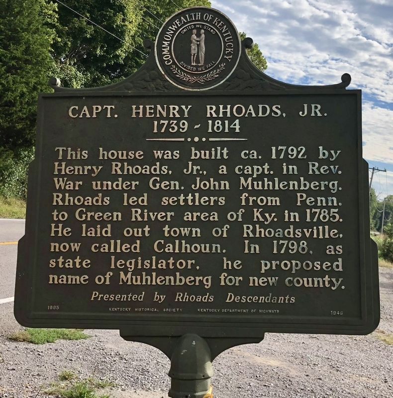
This house was built ca. 1792 by Henry Rhoads, Jr., a capt. in Rev. War under Gen. John Muhlenberg. Rhoads led settlers from Penn. to Green River area of Ky. in 1785. He laid out town of Rhoadsville, now called Calhoun. In 1798, as state legislator, he proposed name of Muhlenberg for new county.
{Reverse}
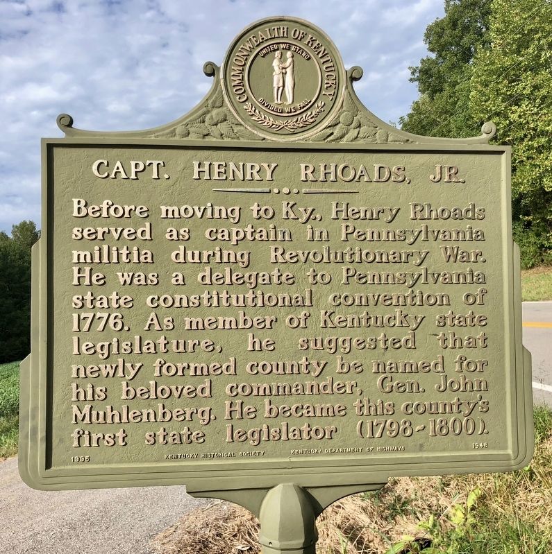
Before moving to Ky., Henry Rhoads served as captain in Pennsylvania militia during Revolutionary War. He was a delegate to Pennsylvania state constitutional convention of 1776. As member of Kentucky state legislature, he suggested that newly formed county be named for his beloved commander, Gen. John Muhlenberg. He became this county's first state legislator (1798-1800).
Erected 1995 by Kentucky Historical Society, Kentucky Department of Highways. (Marker Number 1946.)
Topics and series. This historical marker is listed in these topic lists: Government & Politics • Political Subdivisions • Settlements & Settlers • War, US Revolutionary. In addition, it is included in the Kentucky Historical Society series list. A significant historical year for this entry is 1792.
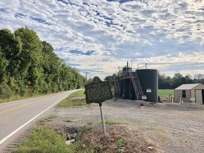
Location. 37° 12.222′ N, 87° 1.365′ W. Marker is near Browder, Kentucky, in Muhlenberg County. Marker is on Rochester Road (Kentucky Route 70) 0.3 miles Browder Cemetery Lane, on the right when traveling east. Touch for map. Marker is at or near this postal address: Rochester Road, Browder KY 42326, United States of America. Touch for directions.
Other nearby markers. At least 8 other markers are within 9 miles of this marker, measured as the crow flies. Airdrie Furnace Site / Iron Made in Kentucky (approx. 1.7 miles away); Suffolk (approx. 7.2 miles away); Old Greenville Cemetery (approx. 8.4 miles away); Battle of New Orleans (approx. 8.6 miles away); First Presbyterian Church (approx. 8.6 miles away); Revolutionary War Soldiers (approx. 8.6 miles away); Muhlenberg County (approx. 8.6 miles away); Forrest Reconnoitered (approx. 8.6 miles away).
Credits. This page was last revised on September 18, 2018. It was originally submitted on September 18, 2018, by Mark Hilton of Montgomery, Alabama. This page has been viewed 889 times since then and 93 times this year. Photos: 1, 2, 3. submitted on September 18, 2018, by Mark Hilton of Montgomery, Alabama.


