Stevensville in Ravalli County, Montana — The American West (Mountains)
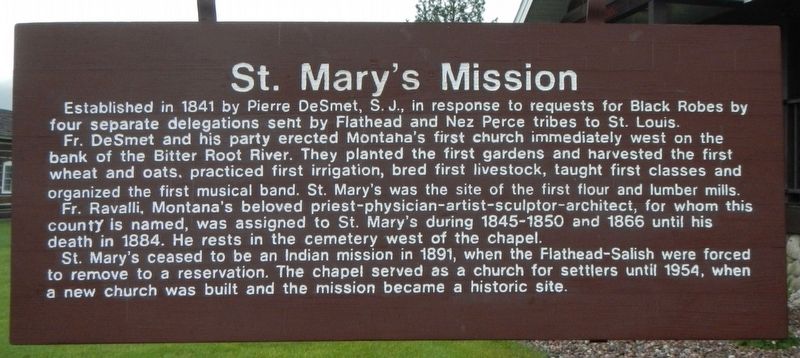
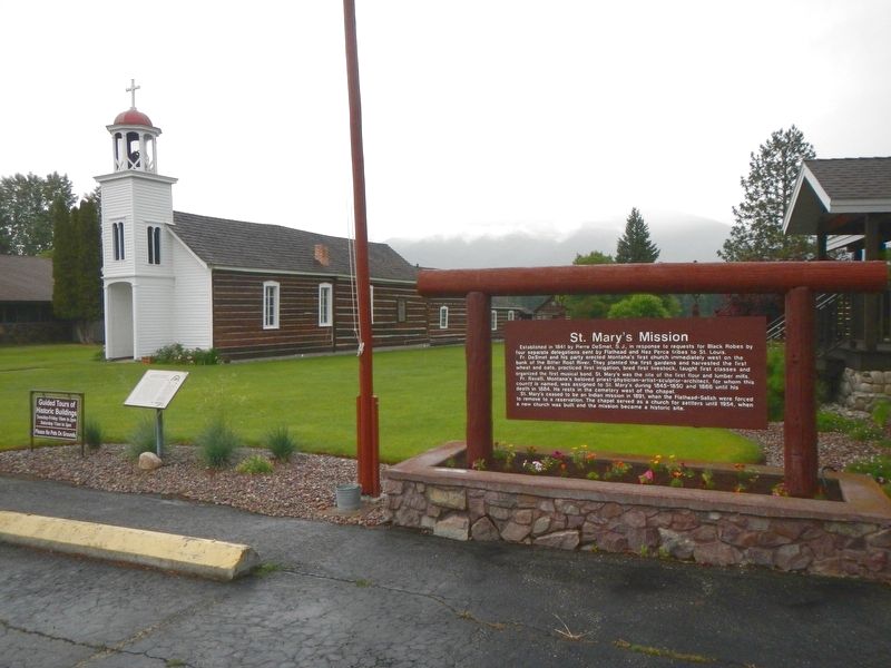
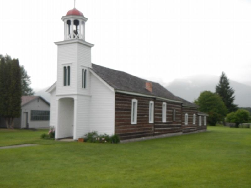
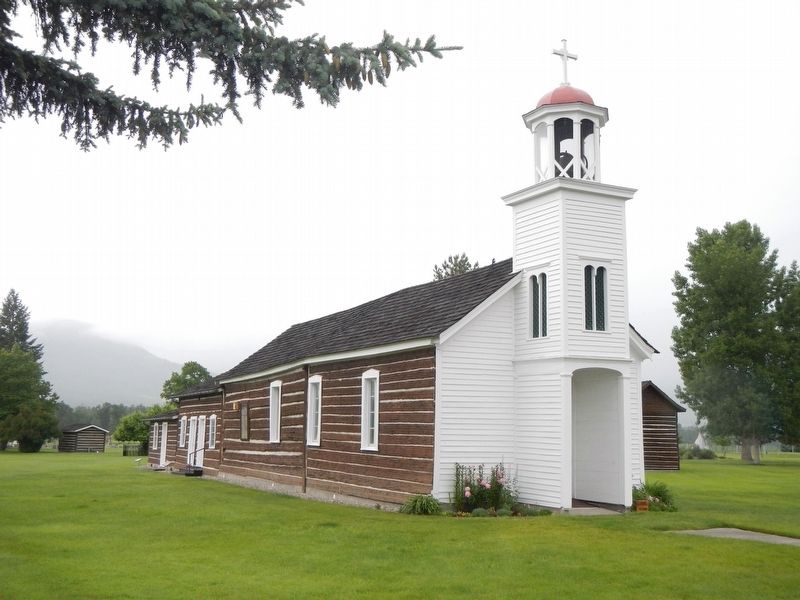
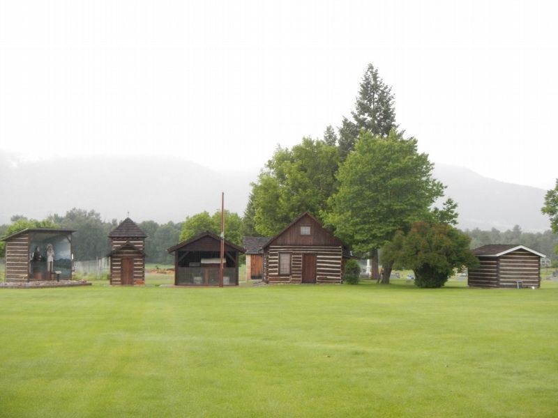
Saint Mary's Mission
Fr. Ravalli, Montana's beloved priest-physician-artist-sculptor-architect, for whom this county is named, was assigned to St.Mary's during 1845-1850 and 1866 until his death in 1884. He rests in the cemetery west of the chapel.
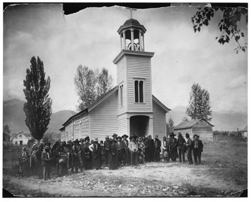
St. Mary's ceased to be an Indian mission in 1891, when the Flathead-Salish were forced to remove to a reservation. The chapel served as a church for settlers until 1954, when a new church was built and the mission became a historic site.
Topics. This historical marker is listed in these topic lists: Churches & Religion • Native Americans. A significant historical year for this entry is 1841.
Location. 46° 30.552′ N, 114° 5.838′ W. Marker is in Stevensville, Montana, in Ravalli County. Marker is at the intersection of Charlos Street and West 4th Street , on the left when traveling north on Charlos Street. Touch for map. Marker is at or near this postal address: 315 Charlos Street, Stevensville MT 59870, United States of America. Touch for directions.
Other nearby markers. At least 8 other markers are within walking distance of this marker. St. Mary's Mission Historic District (here, next to this marker); Denayer House (approx. 0.2 miles away); Porter & Buck Building (approx. 0.2 miles away); Henry Buck/Stevensville Trading Co (approx. 0.2 miles away); First State Bank Building (approx. 0.2 miles away); Thorton Building (approx. 0.2 miles away); IOOF Hall (approx. 0.2 miles away); Calvin and Magdalene Cook House (approx. ¼ mile away). Touch for a list and map of all markers in Stevensville.
Also see . . . History of St. Mary's Mission -- saintmarysmission.org. The history of St. Mary's Mission begins with the arrival in the Northwest of twenty-four Iroquois Indians employed as trappers by the Hudson's Bay Company. During the 1823-24 season, twelve of these Iroquois remained among the Salish (Selis) in the Red Willow (now Bitterroot) valley. They were adopted into the tribe and married the Salish women. The Iroquois came from a nation that had been introduced to Christianity some two hundred years earlier. When they gathered around the campfire in the evenings with the Salish the Iroquois talked about white men who wore long black gowns,... (Submitted on September 19, 2018, by Barry Swackhamer of Brentwood, California.)
Photographed By Barry Swackhamer, May 11, 2018
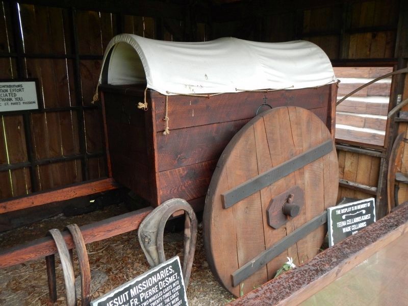
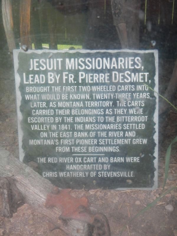
7. Jesuit Missionaries
The Red River ox cart and barn were handcrafted by Chris Weatherly of Stevensville
Credits. This page was last revised on October 17, 2018. It was originally submitted on September 19, 2018, by Barry Swackhamer of Brentwood, California. This page has been viewed 307 times since then and 29 times this year. Photos: 1, 2, 3, 4, 5, 6, 7, 8. submitted on September 19, 2018, by Barry Swackhamer of Brentwood, California.
