Livermore in McLean County, Kentucky — The American South (East South Central)
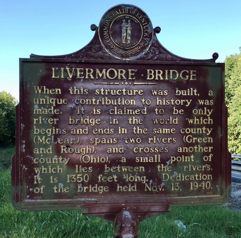
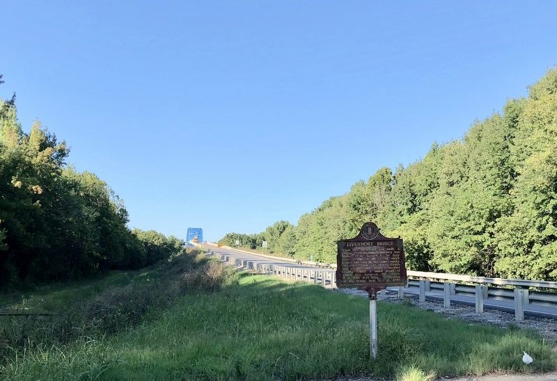
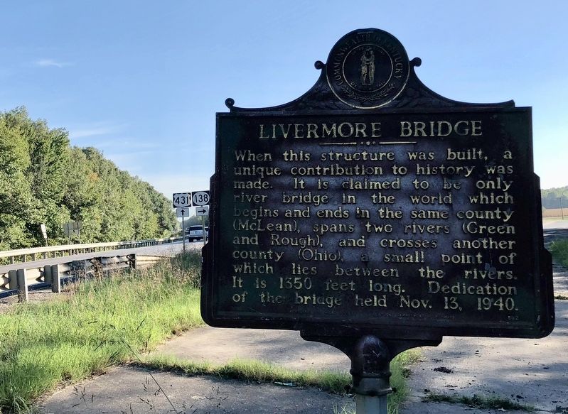
Livermore Bridge
Erected 1965 by Kentucky Historical Society, Kentucky Department of Highways. (Marker Number 892.)
Topics and series. This historical marker is listed in these topic lists: Bridges & Viaducts • Political Subdivisions • Waterways & Vessels. In addition, it is included in the Kentucky Historical Society series list. A significant historical date for this entry is November 13, 1940.
Location. 37° 28.835′ N, 87° 8.2′ W. Marker is in Livermore, Kentucky, in McLean County. Marker is at the intersection of Highway 431 and Old Island-Livermore Road (State Route 138), on the right when traveling south on Highway 431. Touch for map. Marker is in this post office area: Livermore KY 42352, United States of America. Touch for directions.
Other nearby markers. At least 8 other markers are within 9 miles of this marker, measured as the crow flies. William Worthington (1761-1848) (approx. 2˝ miles away); Union Camp Site / McLean County Recruits, Co. D 35 Regt. KY. Vol. Mounted Inf. (approx. 4.6 miles away); County Named / Calhoun (approx. 7.7 miles away); Forrest Reconnoitered (approx. 7.8 miles away); Camp Calhoun (approx. 7.9 miles away); Camp Calhoun Cemetery (approx. 7.9 miles away); McLean County War Memorial (approx. 8.3 miles away); Charles Hansford / Charles Hansford (1759-1850) (approx. 8.3 miles away).
Also see . . . Explore Kentucky History on the Livermore Bridge. (Submitted on September 19, 2018, by Mark Hilton of Montgomery, Alabama.)
Credits. This page was last revised on October 13, 2018. It was originally submitted on September 19, 2018, by Mark Hilton of Montgomery, Alabama. This page has been viewed 341 times since then and 44 times this year. Photos: 1, 2, 3. submitted on September 19, 2018, by Mark Hilton of Montgomery, Alabama.


