West Jordan in Salt Lake County, Utah — The American Mountains (Southwest)
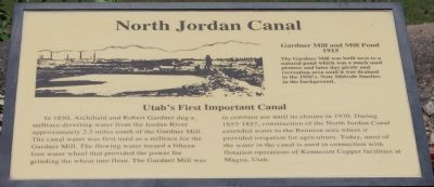
North Jordan Canal
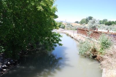
Utah’s First Important Canal In Archibald and Robert Gardner dug a millrace diverting water from the Jordan River approximately 2.5 miles south of the Gardner Mill. The canal water was first used as millrace for the Gradner Mill. The flowing water turned a fifteen foot water wheel that provided the power for grinding the wheat into flour. The Garder Mill was in constant use until its closure in 1970. During 1853-1857, construction of the North Jordan Canal extended water to the Bennion area where it provided irrigation for agriculture. Today, most of the water in the canal is used in connection with flotation operations of Kennecott Copper facilities at Magna, Utah.
Topics. This historical marker is listed in these topic lists: Industry & Commerce • Waterways & Vessels. A significant historical year for this entry is 1915.
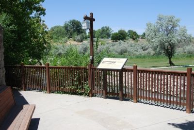
Location. 40° 36.549′ N, 111° 55.45′ W. Marker is in West Jordan, Utah, in Salt Lake County. Marker is on 7800 South, on the right when traveling west. Touch for map. Marker is at or near this postal address: 1101 W 7800 North, West Jordan UT 84088, United States of America. Touch for directions.
Other nearby markers. At least 8 other markers are within 3 miles of this marker, measured as the crow flies. West Jordan Settlement (a few steps from this marker); West Jordan Industry (a few steps from this marker); West Jordan (about 500 feet away, measured in a direct line); West Jordan Pioneer Church (about 500 feet away); Utah Idaho Sugar Factory (approx. one mile away); Salt Lake and Utah Railroad (approx. one mile away); Traders Rest (approx. 2 miles away); The Old School House (approx. 2.2 miles away). Touch for a list and map of all markers in West Jordan.
Credits. This page was last revised on September 22, 2018. It was originally submitted on June 28, 2007, by Dawn Bowen of Fredericksburg, Virginia. This page has been viewed 2,072 times since then and 50 times this year. Last updated on September 20, 2018, by Andrew Johnson of Salt Lake City, Utah. Photos: 1, 2, 3. submitted on June 28, 2007, by Dawn Bowen of Fredericksburg, Virginia. • Syd Whittle was the editor who published this page.


