Taylorsville in Salt Lake County, Utah — The American Mountains (Southwest)
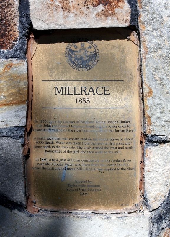
Millrace
1855
A small rock dam was constructed on the Jordan River at about 6300 South. Water was taken from the river at that point and came north to the park site. The ditch skirted the west and north boundaries of the park and then north to the mill.
In 1880, a new grist mill was constructed on the Jordan River near 4800 South. Water was taken from the Lower Ditch to power the mill and the name Millrace was applied to the ditch.
Erected 2005 by Sons of Utah Pioneers. (Marker Number 117.)
Topics and series. This historical marker is listed in these topic lists: Agriculture • Industry & Commerce • Man-Made Features. In addition, it is included in the Sons of Utah Pioneers series list. A significant historical year for this entry is 1855.
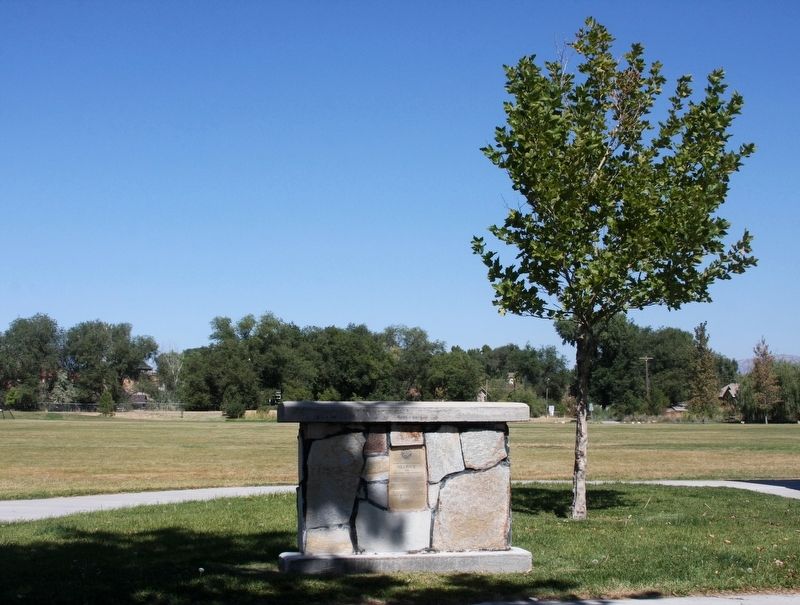
Location. 40° 39.272′ N, 111° 55.476′ W. Marker is in Taylorsville, Utah, in Salt Lake County. Marker can be reached from W 5400 S near Utah Route 173. Marker is in Millrace Park. Touch for map. Marker is at or near this postal address: 1150 W 5400 S, Salt Lake City UT 84123, United States of America. Touch for directions.
Other nearby markers. At least 8 other markers are within 4 miles of this marker, measured as the crow flies. English Fort (approx. 1.3 miles away); The Old School House (approx. 1.4 miles away); Major General George P. Holm (approx. 2.3 miles away); Carlisle Family Historical Marker (approx. 2.3 miles away); Pony Express Station (approx. 2.4 miles away); Murray Smelting (approx. 2˝ miles away); Traders Rest (approx. 2.9 miles away); West Jordan Industry (approx. 3.1 miles away). Touch for a list and map of all markers in Taylorsville.
Credits. This page was last revised on September 22, 2018. It was originally submitted on September 21, 2018, by Andrew Johnson of Salt Lake City, Utah. This page has been viewed 261 times since then and 22 times this year. Photos: 1, 2. submitted on September 21, 2018, by Andrew Johnson of Salt Lake City, Utah. • Syd Whittle was the editor who published this page.

