Morganfield in Union County, Kentucky — The American South (East South Central)
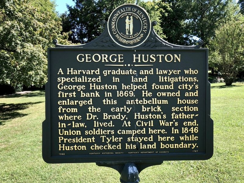
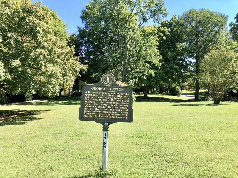
George Huston
Erected 1986 by Kentucky Historical Society, Kentucky Department of Highways. (Marker Number 1787.)
Topics and series. This historical marker is listed in these topic lists: Architecture • Industry & Commerce • War, US Civil. In addition, it is included in the Former U.S. Presidents: #10 John Tyler, and the Kentucky Historical Society series lists. A significant historical year for this entry is 1869.
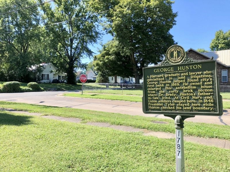
Location. 37° 41.01′ N, 87° 54.801′ W. Marker is in Morganfield, Kentucky, in Union County. Marker is at the intersection of North Brady Street and East McElroy Street, on the right when traveling north on North Brady Street. Touch for map. Marker is at or near this postal address: North Brady Street, Morganfield KY 42437, United States of America. Touch for directions.
Other nearby markers. At least 8 other markers are within 5 miles of this marker, measured as the crow flies. Morgan Springs (about 700 feet away, measured in a direct line); Lincoln Spoke Here (approx. 0.2 miles away); Union County, 1811 (approx. 0.2 miles away); Forrest Reconnoitered (approx. ¼ mile away); Earle C. Clements (approx. 0.3 miles away); Baseball Great (approx. 2 miles away); Nally Spa (approx. 2.7 miles away); St. Vincent's Academy (approx. 4.4 miles away). Touch for a list and map of all markers in Morganfield.
Also see . . . Photos of the George Huston house. (Submitted on September 21, 2018, by Mark Hilton of Montgomery, Alabama.)
Credits. This page was last revised on August 9, 2020. It was originally submitted on September 21, 2018, by Mark Hilton of Montgomery, Alabama. This page has been viewed 527 times since then and 33 times this year. Photos: 1, 2, 3. submitted on September 21, 2018, by Mark Hilton of Montgomery, Alabama.


