Herndon in Christian County, Kentucky — The American South (East South Central)
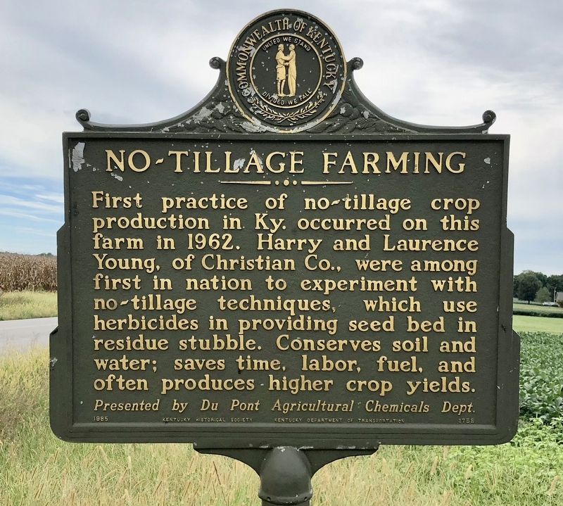
No-Tillage Farming
Erected 1985 by the Kentucky Historical Society Kentucky Department of Highways. (Marker Number 1759.)
Topics and series. This historical marker is listed in this topic list: Agriculture. In addition, it is included in the Kentucky Historical Society series list. A significant historical year for this entry is 1962.
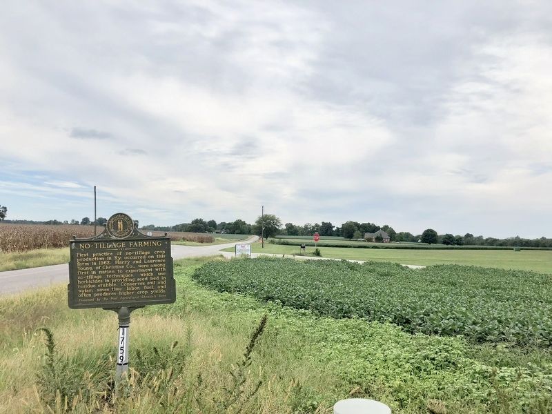
Location. 36° 42.571′ N, 87° 35.735′ W. Marker is in Herndon, Kentucky, in Christian County. Marker is at the intersection of Lafayette Road (Kentucky Route 107) and Jago Thomas Road, on the right when traveling south on Lafayette Road. Touch for map. Marker is at or near this postal address: Lafayette Road, Herndon KY 42236, United States of America. Touch for directions.
Other nearby markers. At least 8 other markers are within 12 miles of this marker, measured as the crow flies. U.S. Vice President (approx. 2.3 miles away); Pennyrile Rural Electric Cooperative Corporation (approx. 2.6 miles away); Genoa (approx. 3.6 miles away); Church Hill Grange House (approx. 6.4 miles away); Old Post House (approx. 10.2 miles away in Tennessee); Bethel Meeting House (approx. 10.3 miles away in Tennessee); Trail of Tears Indian Camping Grounds (approx. 12 miles away); The Trail of Tears (approx. 12 miles away). Touch for a list and map of all markers in Herndon.
Also see . . . 2012 article in the Southeast Farm Press on the 50th anniversary. Includes photo of the marker dedication in 1985. (Submitted on September 22, 2018, by Mark Hilton of Montgomery, Alabama.)
Credits. This page was last revised on September 22, 2018. It was originally submitted on September 22, 2018, by Mark Hilton of Montgomery, Alabama. This page has been viewed 249 times since then and 8 times this year. Photos: 1, 2. submitted on September 22, 2018, by Mark Hilton of Montgomery, Alabama.

