Golden Pond in Trigg County, Kentucky — The American South (East South Central)
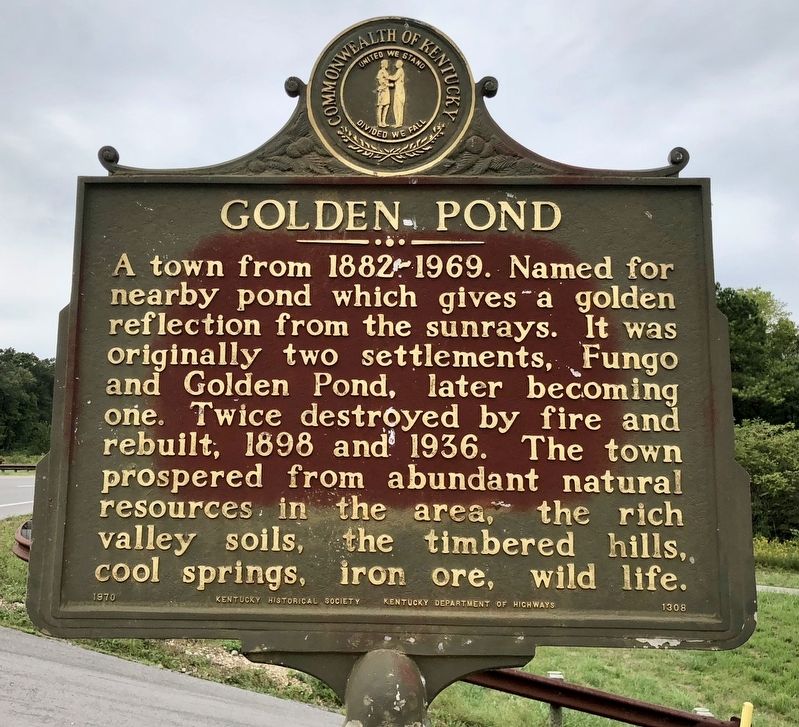
Golden Pond
Erected 1970 by the Kentucky Historical Society Kentucky Department of Highways. (Marker Number 1308.)
Topics and series. This historical marker is listed in these topic lists: Natural Resources • Settlements & Settlers • Waterways & Vessels. In addition, it is included in the Kentucky Historical Society series list. A significant historical year for this entry is 1898.
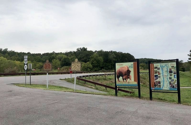
Location. 36° 47.151′ N, 88° 1.458′ W. Marker is in Golden Pond, Kentucky, in Trigg County. Marker is at the intersection of Highway 68 and County Road 160, on the right when traveling west on Highway 68. Located at a northside pullout. Touch for map. Marker is in this post office area: Cadiz KY 42211, United States of America. Touch for directions.
Other nearby markers. At least 8 other markers are within 7 miles of this marker, measured as the crow flies. St. Joseph's Parish (here, next to this marker); Civil War Sniper (approx. 2.9 miles away); Cavalry vs. Gunboat (approx. 3.3 miles away); Drummer Boy at 7 (approx. 4.1 miles away); Laura Furnace / Iron Made in Kentucky (approx. 4.1 miles away); Jackson Purchase (approx. 6 miles away); Cherokee State Park (approx. 6.4 miles away); Lower Donaldson School (approx. 7.1 miles away). Touch for a list and map of all markers in Golden Pond.
Also see . . . Wikipedia article on the ghost town of Golden Pond. (Submitted on September 22, 2018, by Mark Hilton of Montgomery, Alabama.)
Credits. This page was last revised on September 22, 2018. It was originally submitted on September 22, 2018, by Mark Hilton of Montgomery, Alabama. This page has been viewed 307 times since then and 23 times this year. Photos: 1, 2. submitted on September 22, 2018, by Mark Hilton of Montgomery, Alabama.

