Richmond in Macomb County, Michigan — The American Midwest (Great Lakes)
John Donley Farm
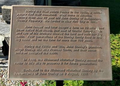
During the Irish potato famine in the 1840s, a million people fled their homeland. Most came to America. Among them was 22 year old John Donley of Ballyporeen, County Tipperary. He landed in New York City in 1848.
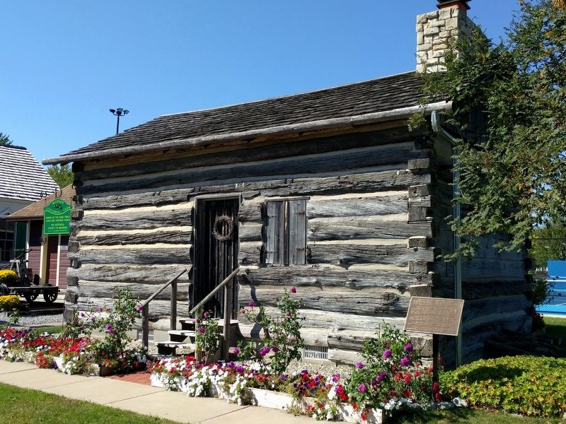
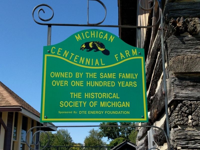
John leased and later bought a farm on 29 Mile Road (then called Irish Road), just east of Gratiot Turnpike. He and two of his brothers cleared the land and built this log cabin. Four generations of the Donley family lived in this log cabin and on the farm for more than 100 years.
During the 1930s and '40s, John Donley's grandson, Hugh Donley, his wife Frances Gavin, and their seven children occupied the cabin.
In 1998, the Richmond Historical Society moved the cabin to this site to preserve it for future generations.
Dedicated to the Richmond Historical Society by the descendants of John Donley on 8 August, 1998.
Erected 1998 by Richmond Historical Society.
Topics. This historical marker is listed in these topic lists: Agriculture • Settlements & Settlers. A significant historical date for this entry is August 8, 1998.
Location. 42° 48.81′ N, 82° 45.301′ W. Marker is in Richmond, Michigan, in Macomb County. Marker is at the intersection of Park Street and Beebe Street, on the left when traveling west on Park Street. Touch for map. Marker is at or near this postal address: 36045 Park Street, Richmond MI 48062, United States of America. Touch for directions.
Other nearby markers. At least 8 other markers are within 9 miles of this marker, measured as the crow flies. Sanford Stone / Weller House (about 500 feet away, measured in a direct line); Steam Engines--A Brief History (approx. 0.2 miles away); Richmond Center for the Performing Arts (approx. ¼ mile away); Richmond Veterans Memorial (approx. 0.8 miles away); Richmond Civil War Memorial (approx. 0.8 miles away); "The Thing" (approx. 5.8 miles away); Walter C. Wetzel State Recreation Area (approx. 6.4 miles away); Crawford Settlement Burying Ground (approx. 8.7 miles away). Touch for a list and map of all markers in Richmond.
Credits. This page was last revised on September 25, 2022. It was originally submitted on September 24, 2018, by Joel Seewald of Madison Heights, Michigan. This page has been viewed 263 times since then and 18 times this year. Photos: 1, 2, 3. submitted on September 24, 2018, by Joel Seewald of Madison Heights, Michigan.


