Near Chatsworth in Murray County, Georgia — The American South (South Atlantic)
Fort Mountain
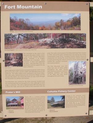
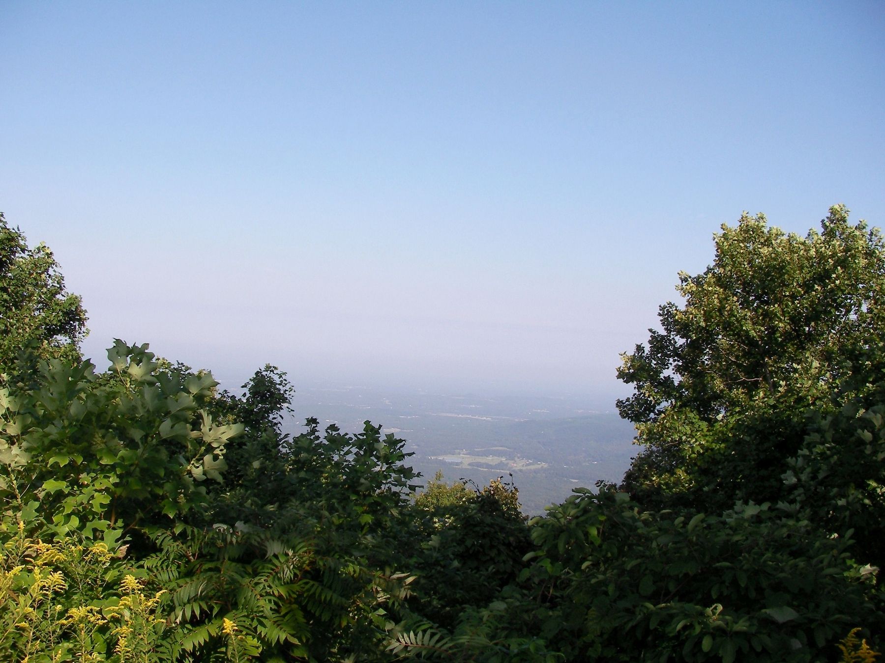
Other high peaks visible from the overlook include the 3,692’ Grassy Mountain to the north, and the 3,680’ Little Bald Mountain to the northeast. The valley visible to the northwest is the Great Valley. This wide valley, situated between the Armuchee Ridges and the Cohutta Mountains, has historically been an easy route through the mountains for animals and humans.
Fort Mountain was named for the stone structure located near the mountaintop that was thought to be a fort, although its exact origin is unknown. The wall is approximately 800 feet long, two to three feet high, and runs the width of the mountain near the peak. The wall is now located in Fort Mountain State Park. Created in 1934, most of the park’s infrastructure was built by the Civilian Conservation Corps (CCC). President Franklin Delano Roosevelt created the CCC during The Great Depression. Citizens were put to work preserving the natural resources of the United States to combat the country’s economic and social problems.
The Fort Mountain area CCC camp was one of the many camps throughout the state. Young men used local stone to construct buildings, pavilions, and many of the steps and trails found throughout the park today.
Prater’s Mill
Prater’s Mill is a restored working gristmill located on the Coahulla Creek along State Route 2 in Whitfield County at Varnell. Historically numerous gristmills could be found in the region. Today, Pater’s Mill is one of the few that survives. In addition to the gristmill, the mill complex includes a cotton gin, general store, a granary, and the Prater’s summer home. The buildings have been restored and appear as they would have historically.
Cohutta Fishery Center
Located in the northwest corner of Whitfield County, near the City of Co consists of over thirty ponds where researcher can study fish in a monitored environment. The site offers a wealth of activities for visitors including hiking, biking and picnicking.
(captions)
Scenic – View at Fort Mountain Overlook
Archaeological – Stone wall at Fort Mountain State Park
Topics. This historical marker is listed in these topic lists: Agriculture • Industry & Commerce • Roads & Vehicles • Settlements & Settlers.
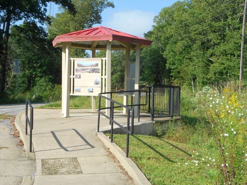
Location. 34° 46.548′ N, 84° 40.024′ W. Marker is near Chatsworth, Georgia, in Murray County. Marker is on Georgia Route 52, on the left when traveling east. Touch for map. Marker is at or near this postal address: 9440 GA-52, Chatsworth GA 30705, United States of America. Touch for directions.
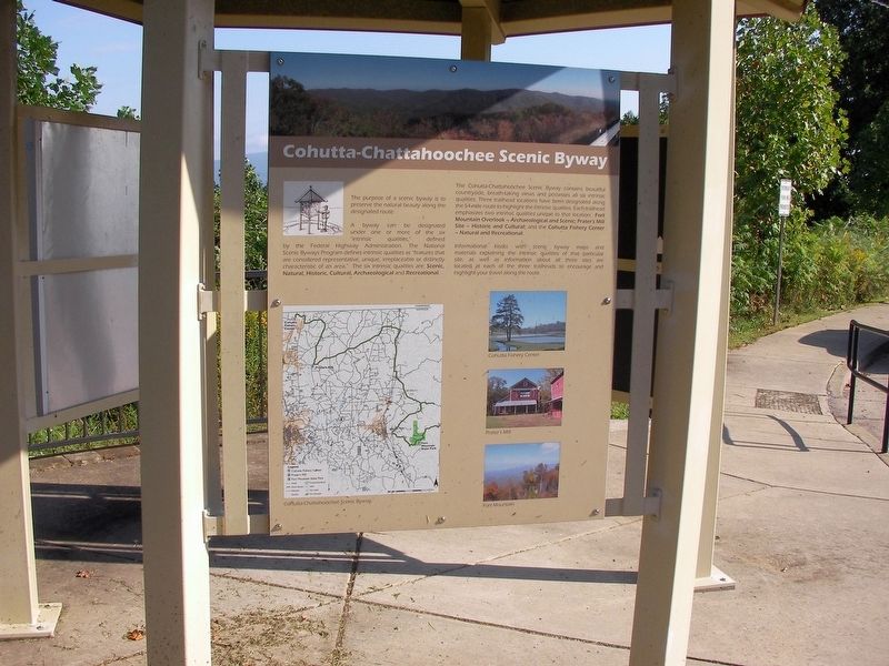
Other nearby markers. At least 8 other markers are within 9 miles of this marker, measured as the crow flies. Cohutta-Chattahoochee Scenic Byway (here, next to this marker); Mystery Shrouds Fort Mountain (approx. 2.4 miles away); Legends of Fort Mountain (approx. 2.4 miles away); Fort Mountain State Park (approx. 2.4 miles away); Wright Hotel (approx. 5.8 miles away); Murray County (approx. 5.9 miles away); Old Federal Road (approx. 6.3 miles away); Fort Gilmer (approx. 8.3 miles away). Touch for a list and map of all markers in Chatsworth.
Also see . . .
1. Fort Mountain. Georgia Department of Natural Resources - State Parks & Historic Sites (Submitted on September 25, 2018, by David Tibbs of Resaca, Georgia.)
2. Prater's Mill Heritage Park. The official website. (Submitted on September 25, 2018, by David Tibbs of Resaca, Georgia.)
3. Cohutta Fisheries Center. Warnell School of Forestry and Natural Resources University of Georgia Website (Submitted on September 25, 2018, by David Tibbs of Resaca, Georgia.)
Credits. This page was last revised on September 28, 2018. It was originally submitted on September 25, 2018, by David Tibbs of Resaca, Georgia. This page has been viewed 299 times since then and 32 times this year. Photos: 1, 2, 3, 4, 5. submitted on September 25, 2018, by David Tibbs of Resaca, Georgia. • Bernard Fisher was the editor who published this page.


