Princeton in Caldwell County, Kentucky — The American South (East South Central)
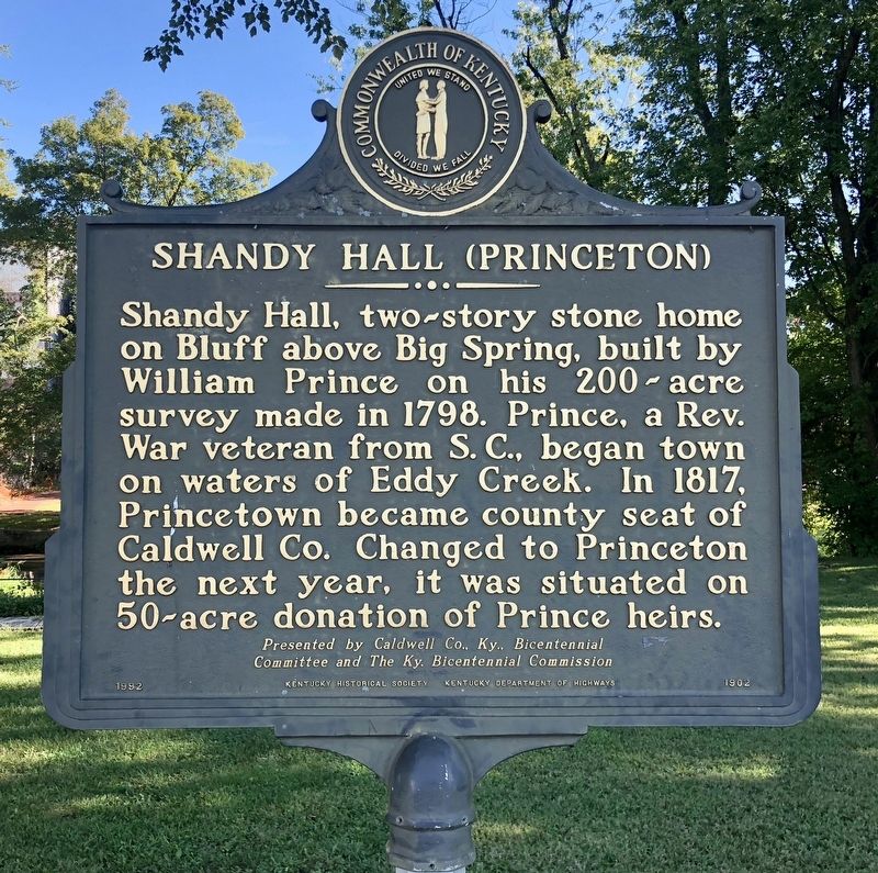
Shandy Hall (Princeton)
Committee and The Ky. Bicentennial Commission.
Erected 1992 by the Kentucky Historical Society, Kentucky Department of Highways. (Marker Number 1902.)
Topics and series. This historical marker is listed in these topic lists: Notable Buildings • Settlements & Settlers • War, US Revolutionary. In addition, it is included in the Kentucky Historical Society series list. A significant historical year for this entry is 1798.
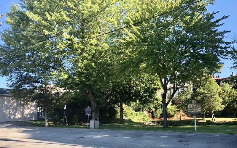
Location. 37° 6.458′ N, 87° 52.889′ W. Marker is in Princeton, Kentucky, in Caldwell County. Marker is on East Washington Street west of Edwards Avenue, on the left when traveling east. Located in Big Spring Park. Touch for map. Marker is at or near this postal address: East Washington Street, Princeton KY 42445, United States of America. Touch for directions.
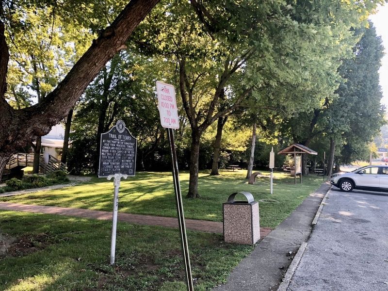
Other nearby markers. At least 8 other markers are within walking distance of this marker. Trail of Tears (a few steps from this marker); a different marker also named Shandy Hall (Princeton) (within shouting distance of this marker); William Prince (about 400 feet away, measured in a direct line); William Prince, 1752-1810 / Founder of Princeton (about 500 feet away); County Named, 1809 (about 500 feet away); Black Patch War (about 600 feet away); Courthouse Burned (about 600 feet away); Ogden Memorial United Methodist Church (approx. ¼ mile away). Touch for a list and map of all markers in Princeton.
More about this marker. This is one of two identical markers with the same marker number and text.
Related marker. Click here for another marker that is related to this marker. Exact duplicate marker.
Credits. This page was last revised on September 25, 2018. It was originally submitted on September 25, 2018, by Mark Hilton of Montgomery, Alabama. This page has been viewed 243 times since then and 37 times this year. Photos: 1, 2, 3. submitted on September 25, 2018, by Mark Hilton of Montgomery, Alabama.


