Pierre in Hughes County, South Dakota — The American Midwest (Upper Plains)
Pierre
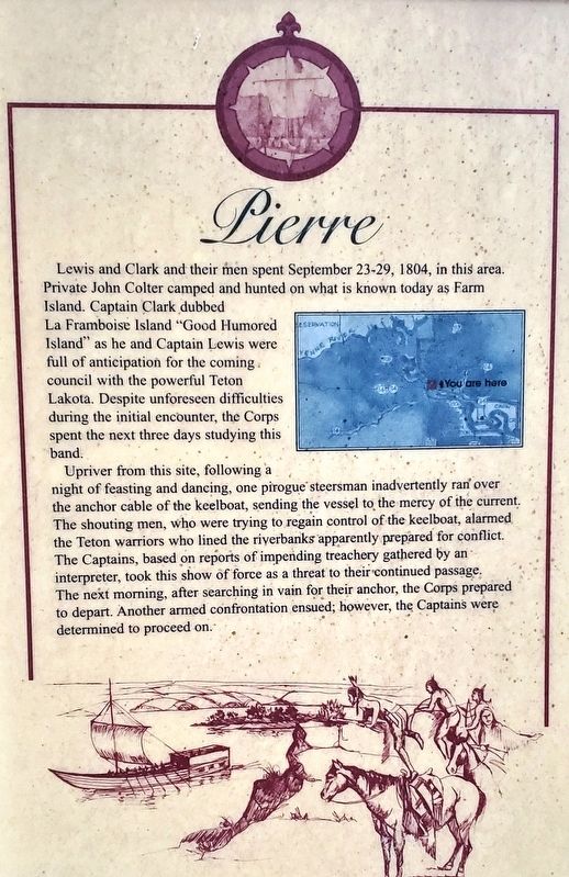
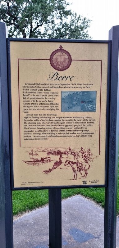
Upriver from this site, following a night of feasting and dancing, one pirogue steersman inadvertently ran over the anchor cable of the keelboat, sending the vessel to the mercy of the current. The shouting men, who were trying to regain control of the keelboat, alarmed the Teton warriors who lined the riverbanks apparently prepared for conflict. The Captains, based on reports of impending treachery gathered by an interpreter, took this show of force as a threat to their continued passage. The next morning, after searching in vain for their anchor, the Corps prepared to depart. Another armed confrontation ensued; however, the Captains were determined to proceed on.
Erected by Lewis and Clark National Historical Trail, National Park Service.
Topics and series. This historical marker is listed in these topic lists: Exploration • Native Americans. In addition, it is included in the Lewis & Clark Expedition series list. A significant historical date for this entry is September 29, 1804.
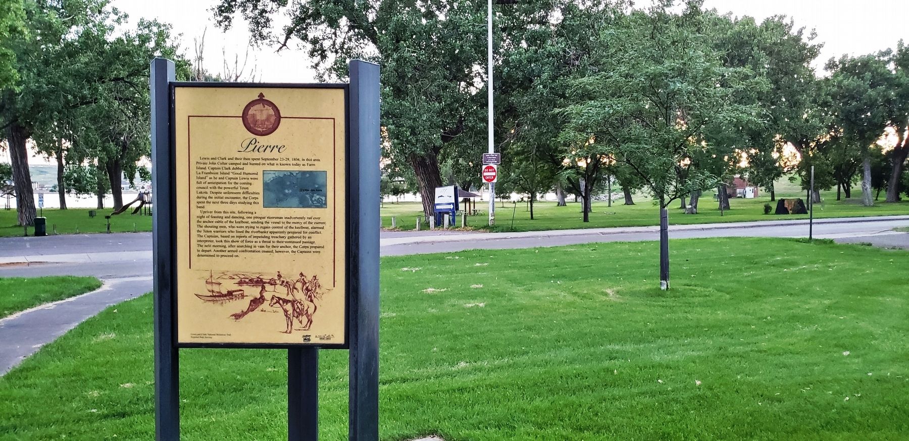
Location. 44° 22.278′ N, 100° 21.844′ W. Marker is in Pierre, South Dakota, in Hughes County. Marker is at the intersection of West Dakota Avenue and James Street, on the left when traveling south on West Dakota Avenue. Marker is located beside the sidewalk, directly in front of the Pierre Chamber of Commerce building. Touch for map. Marker is at or near this postal address: 800 West Dakota Avenue, Pierre SD 57501, United States of America. Touch for directions.
Other nearby markers. At least 8 other markers are within walking distance of this marker. Lewis and Clark (here, next to this marker); Pierre's First School (within shouting distance of this marker); Old Deadwood Trail (approx. 0.4 miles away); John C. Waldron (approx. 0.4 miles away); American Indians and the Fur Trade (approx. half a mile away); South Dakota Railroads (approx. half a mile away); John Sutherland and the Capital Fights (approx. 0.6 miles away); Pierre Hill Historic District (approx. 0.6 miles away). Touch for a list and map of all markers in Pierre.
More about this marker. This is a tall, triangular, metal "kiosk-style" marker.
Also see . . . Lewis & Clark in Pierre. A major encounter which affected the destiny of all inhabitants of the region occurred in Fort Pierre on September 24-28, 1804. At the mouth of the Bad River, in present-day Fischers Lilly Park. Members of Lewis and Clark’s Corps of Discovery met for the first time with the Lakota people, known to them as the Teton Sioux. Differences in trade objectives, diplomacy, and the lack of an interpreter lead to an armed confrontation, the closest Lewis and Clark came to a premature end to their expedition. (Submitted on September 28, 2018, by Cosmos Mariner of Cape Canaveral, Florida.)
Credits. This page was last revised on September 29, 2018. It was originally submitted on September 27, 2018, by Cosmos Mariner of Cape Canaveral, Florida. This page has been viewed 188 times since then and 15 times this year. Photos: 1, 2, 3. submitted on September 28, 2018, by Cosmos Mariner of Cape Canaveral, Florida. • Andrew Ruppenstein was the editor who published this page.


