De Smet in Kingsbury County, South Dakota — The American Midwest (Upper Plains)
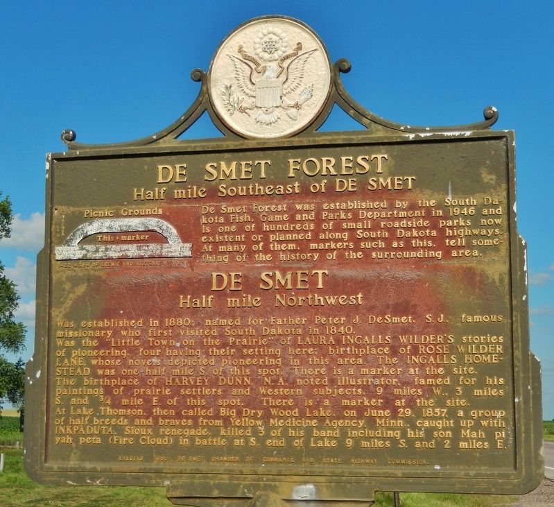
De Smet Forest / De Smet
Half mile South East of De Smet
Half mile northwest
Was the “Little Town on the Prairie” of Laura Ingalls Wilder’s stories of pioneering, four having their setting here; birthplace of Rose Wilder Lane, whose novels depicted pioneering in this area. The Ingalls Homestead was one-half mile S. of this spot. There is a marker at the site.
The birthplace of Harvey Dunn, N.A. noted illustrator, famed for his paintings of prairie settlers and Western subjects, 9 miles W. 3 miles S. and ¾ mile E. of this spot. There is a marker at the site.
At Lake Thompson, then called Big Dry Wood Lake, on June 29, 1857 a group of half breeds and braves from Yellow Medicine Agency, Minn., caught up with Inkpaduta, Sioux renegade, killed 3 of his band including his son Mah pi ya peta (Fire Cloud) in battle at S. end of Lake 9 miles S. and 2 miles E.”
Erected 1955 by De Smet Chamber of Commerice and South Dakota State Highway Department. (Marker Number 44.)
Topics and series. This historical marker is listed in these topic lists: Arts, Letters, Music • Native Americans • Settlements & Settlers. In addition, it is included in the South Dakota State Historical Society Markers series list.
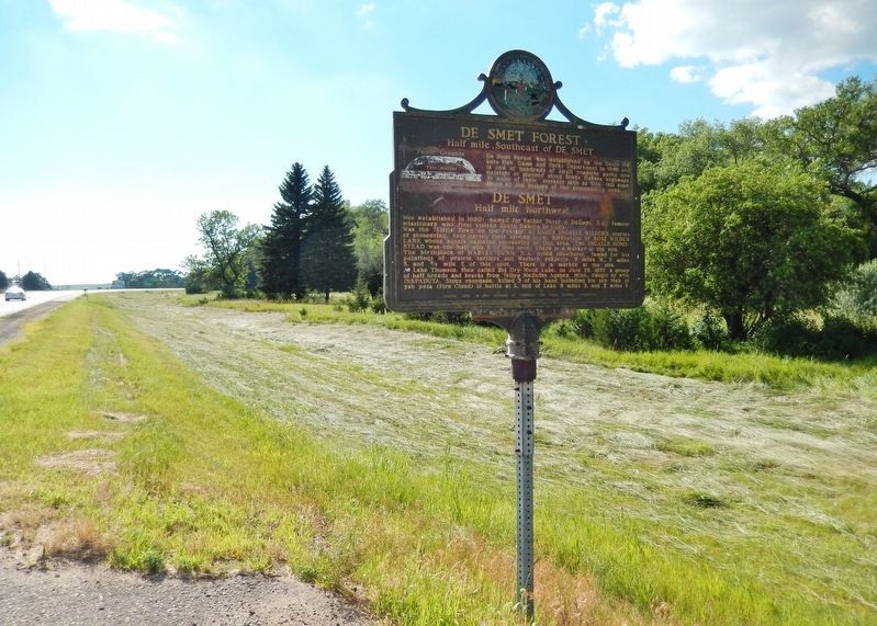
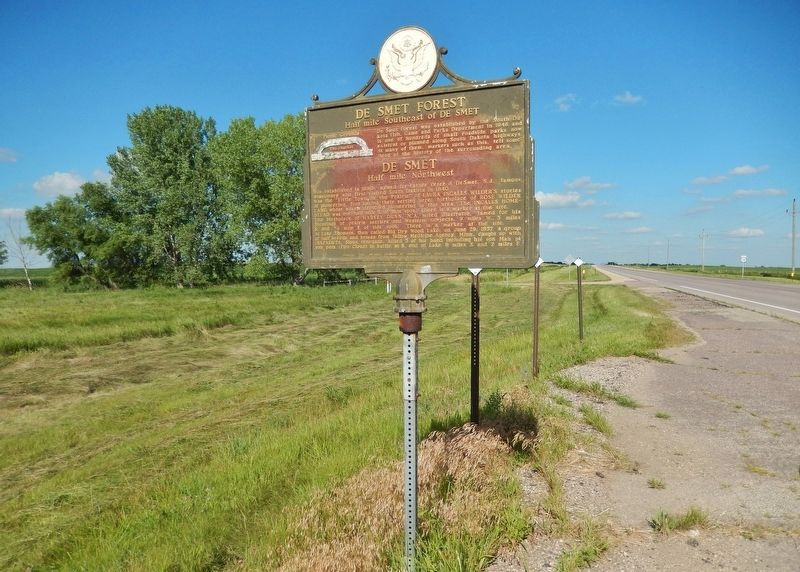
Location. 44° 22.349′ N, 97° 31.929′ W. Marker is in De Smet, South Dakota, in Kingsbury County. Marker is on U.S. 14 west of 434th Avenue, on the right when traveling west. Marker is located in a pull-out on the north side of U.S. Highway 14, one-half mile east of De Smet. Touch for map. Marker is in this post office area: De Smet SD 57231, United States of America. Touch for directions.
Other nearby markers. At least 8 other markers are within 2 miles of this marker, measured as the crow flies. Site of the Ingalls Homestead 1880 (approx. half a mile away); Charles and Caroline Ingalls Homestead (approx. half a mile away); Laura Ingalls Wilder Historic Homes (approx. half a mile away); Surveyors' House (approx. 1.1 miles away); Brewster School (approx. 1.1 miles away); First School of De Smet
(approx. 1.1 miles away); 1880-1890s Prairie Schooner (approx. 1.2 miles away); Kingsbury County, S.D. (approx. 1.2 miles away). Touch for a list and map of all markers in De Smet.
Related markers. Click here for a list of markers that are related to this marker. De Smet, South Dakota
Also see . . . De Smet, South Dakota. De Smet was platted by European Americans in 1880. It was named for Belgian Father Pierre De Smet, a 19th-century Jesuit missionary who worked with Native Americans in the United States and its territories for most of his life. The Charles Ingalls family, originally of Wisconsin, arrived in De Smet in 1879. Their travels and pioneer settling in Minnesota, Kansas, Dakota Territory, and Iowa would be later chronicled in a series of books written by the Ingalls' second oldest daughter, Laura Elizabeth - later known as Laura Ingalls Wilder. (Submitted on September 29, 2018, by Cosmos Mariner of Cape Canaveral, Florida.)
Credits. This page was last revised on October 2, 2018. It was originally submitted on September 27, 2018, by Cosmos Mariner of Cape Canaveral, Florida. This page has been viewed 393 times since then and 45 times this year. Photos: 1, 2, 3. submitted on September 28, 2018, by Cosmos Mariner of Cape Canaveral, Florida. • Bill Pfingsten was the editor who published this page.


