Falmouth in Cornwall, England, United Kingdom — Northwestern Europe (the British Isles)
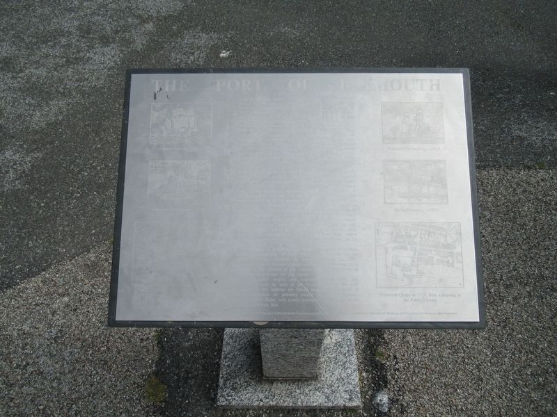
The Port of Falmouth
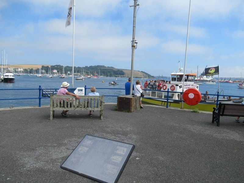
Early in the 17th century, according to local legend, Sir Walter Raleigh pointed out to Sir John Killigrew of Arwenack that Falmouth was the ideal site for a port to handle sailing ships. In 1611 John Speed wrote “Falmouth is so copious, that an hundred ships may therein ride at ancour apart by themselves, so that from the tops of their highest masts they shall not see each other and lie most safely under the windes". Two years later Sir John Kiligrew was granted permission to build "4 victualling houses for the relief of seafaring men". Under the patronage of successive Kiligrews the mile of foreshore north-west from Arwenack and the fishing village of Smithick were developed into the town of Falmouth. The Inner Basin, comprising North Quay (to your left) and Custom House Quay (on which you now stand), was built by Sir Peter, the last of the Killigrews. It is first depicted (as “Arwenack Peere') on Captain Greenvile Collins’ chart of 1693.
In 1688 the Post Office chose Falmouth as its chief port for handling overseas mail. For the next 162 years the Falmouth Packets, fast and lightly armed against attack, sailed on regular schedules from here carrying mail, passengers and important cargo. Local merchants prospered. Boatbuilders flourished on the Penryn River (to your let) and on the Old Harbour Bar (to your right). Many of the warehouses lining the waterfront date from this era. Packets, coastal traders and fishing boats thronged the harbour. Ocean-going merchantmen routinely called at Falmouth to enable their skippers to receive the owner’s latest instructions, hence the expression ‘Falmouth for Orders’. The port's success, based on its unique suitability for sail declined with the advent of reliable steam ships and the short, fast, London-to-Southampton rail link. The Post Office abandoned Falmouth and the last Packet sailed out of the harbour in 1850.
In an attempt to revive flagging fortunes, a group of citizens under the leadership of Lord Wodehouse, inheritor of the Killigrew estates, founded the present dockyard in 1859. Falmouth failed to become a major trading port, but owing to its position at the entrance to the English Channel, the Dockyard succeeded as a centre for ship repair.
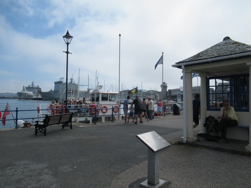
Today merchant vessels and warships of all types and nationalities may be seen in the Docks. Most of the craft elsewhere in the harbour are fishing boats, pleasure boats of some description, or privately owned yachts. Occasionally, however, ‘Tall Ships’ call, potent reminders of Falmouth in the heyday of British Sail.
Interpretation Grant from the Carnegie United Kingdom Trust and erected in 1964 with the permission the Rt. Hon. Earl of Kimberley and the Falmouth Harbour Commissioners.
Erected 1964.
Topics. This historical marker is listed in this topic list: Waterways & Vessels.
Location. 50° 9.175′ N, 5° 3.891′ W. Marker is in Falmouth, England, in Cornwall. Marker can be reached from the intersection of Avenue Road and Campbeltown Way, on the right when traveling north. Touch for map. Marker is in this post office area: Falmouth, England TR11 3JT, United Kingdom. Touch for directions.
Other nearby markers. At least 8 other markers are within 3 kilometers of this marker, measured as the crow flies. HMS Forte IV (about 180 meters away, measured in a direct line); Russian Convoy Memorial (about 180 meters away); Discovery Quay (about 180 meters away); National Maritime Museum Cornwall (approx. 0.3 kilometers away); Killigrew Pyramid (approx. 0.3 kilometers away); Falmouth Docks (approx. 0.9 kilometers away); Pendennis Point (approx. 1.8 kilometers away); Watching the waterline (approx. 1.8 kilometers away). Touch for a list and map of all markers in Falmouth.
Also see . . .
1. Falmouth the spirit of the sea. (Submitted on September 29, 2018, by Michael Herrick of Southbury, Connecticut.)
2. Falmouth, Cornwall on Wikipedia. (Submitted on September 29, 2018, by Michael Herrick of Southbury, Connecticut.)
Credits. This page was last revised on January 27, 2022. It was originally submitted on September 29, 2018, by Michael Herrick of Southbury, Connecticut. This page has been viewed 173 times since then and 10 times this year. Photos: 1, 2, 3. submitted on September 29, 2018, by Michael Herrick of Southbury, Connecticut.


