Syracuse in Davis County, Utah — The American Mountains (Southwest)
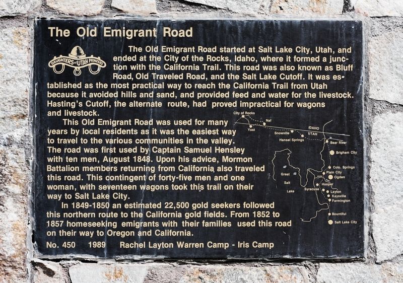
The Old Emigrant Road
This Old Emigrant Road was used for many years by local residents as it was the easiest way to travel to the various communities in the valley. The road was first used by Captain Samuel Hensley with ten men, August 1848. Upon his advice, Mormon Battalion members returning from California also traveled this road. This contingent of forty-five men and one woman, with seventeen wagons took this trail on their way to Salt Lake City.
In 1849-1850 an estimated 22,500 gold seekers followed this northern route to the California gold fields. From 1852 to 1857 homeseeking emigrants with their families used this road on their way to Oregon and California.
Erected 1989 by Rachel Layton Warren Camp, Iris Camp, Daughters of Utah Pioneers. (Marker Number 450.)
Topics and series. This historical marker is listed in this topic list: Roads & Vehicles. In addition, it is included in the Daughters of Utah Pioneers series list. A significant historical month for this entry is August 1848.
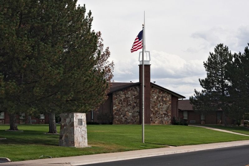
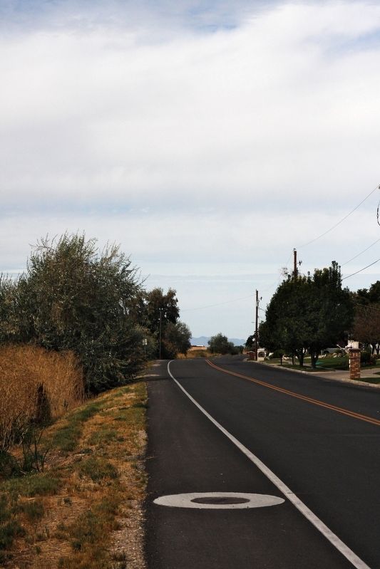
Location. 41° 4.657′ N, 112° 4.126′ W. Marker is in Syracuse, Utah, in Davis County. Marker is on Bluff Road, 0.3 miles north of 2700 South, on the right when traveling north. Touch for map. Marker is at or near this postal address: 2500 South Bluff Road, Syracuse UT 84075, United States of America. Touch for directions.
Other nearby markers. At least 8 other markers are within 3 miles of this marker, measured as the crow flies. Syracuse First Social Center (approx. 0.8 miles away); Historical Wilcox Cabin (approx. 0.8 miles away); Walker Brothers Store (approx. 1.6 miles away); First School House (approx. 1.9 miles away); Antelope Island (approx. 2.8 miles away); Antelope Island Causeway (approx. 2.8 miles away); Great Salt Lake (approx. 2.8 miles away); Hensley / Salt Lake Cutoff-Bluff Road (approx. 3 miles away). Touch for a list and map of all markers in Syracuse.
Credits. This page was last revised on October 2, 2018. It was originally submitted on September 30, 2018, by Andrew Johnson of Salt Lake City, Utah. This page has been viewed 520 times since then and 52 times this year. Photos: 1, 2, 3. submitted on September 30, 2018, by Andrew Johnson of Salt Lake City, Utah. • Andrew Ruppenstein was the editor who published this page.


