Tintagel in Cornwall, England, United Kingdom — Northwestern Europe (the British Isles)
Well
Well
Puth
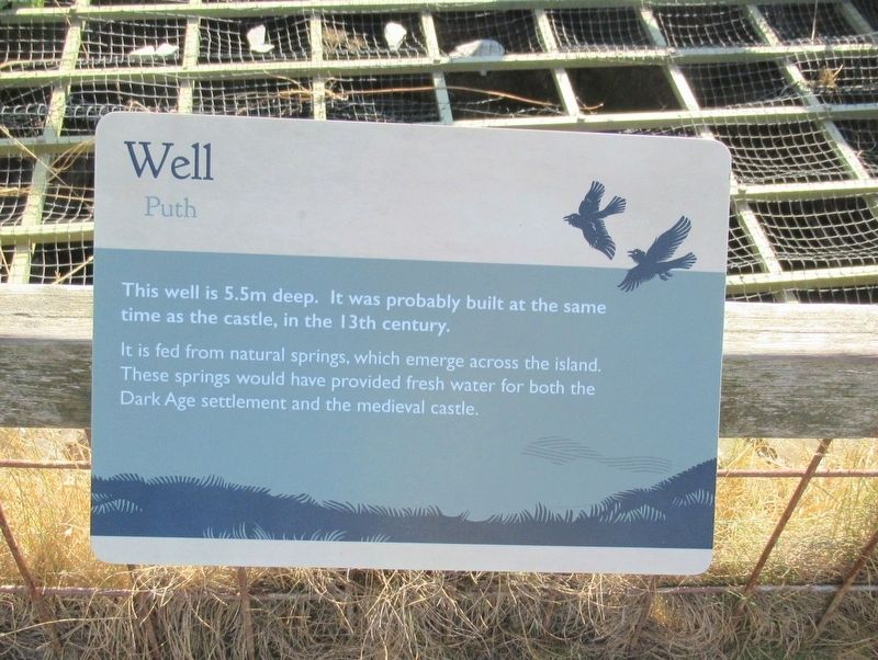
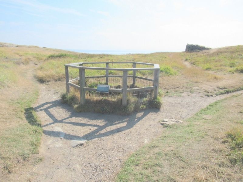
This well is 5.5m deep. It was probably built at the same time as the castle, in the 13th century.
It is fed from natural springs, which emerge across the island. These springs would have provided fresh water for both the Dark Age settlement and the medieval castle.
Topics. This historical marker is listed in this topic list: Forts and Castles.
Location. 50° 40.117′ N, 4° 45.705′ W. Marker is in Tintagel, England, in Cornwall. Marker can be reached from Castle Road, 0.6 kilometers west of Atlantic Road, on the right when traveling west. Located at Tintagel Castle. Touch for map. Marker is in this post office area: Tintagel, England PL34 0HE, United Kingdom. Touch for directions.
Other nearby markers. At least 8 other markers are within walking distance of this marker. A romantic retreat (within shouting distance of this marker); The Priest’s tale (within shouting distance of this marker); Tunnel (within shouting distance of this marker); A changing coastline (about 90 meters away, measured in a direct line); Tintagel village (about 120 meters away); The Trader’s tale (about 120 meters away); Excavations and discoveries (about 120 meters away); The northern ruins (about 120 meters away). Touch for a list and map of all markers in Tintagel.
Also see . . .
1. English Heritage - Tintagel Castle . (Submitted on October 1, 2018, by Michael Herrick of Southbury, Connecticut.)
2. Tintagel Castle on Wikipedia. (Submitted on October 1, 2018, by Michael Herrick of Southbury, Connecticut.)
Credits. This page was last revised on January 27, 2022. It was originally submitted on October 1, 2018, by Michael Herrick of Southbury, Connecticut. This page has been viewed 132 times since then and 16 times this year. Photos: 1, 2. submitted on October 1, 2018, by Michael Herrick of Southbury, Connecticut.

