Near American Falls in Power County, Idaho — The American West (Mountains)
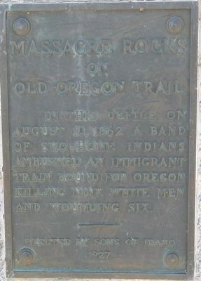
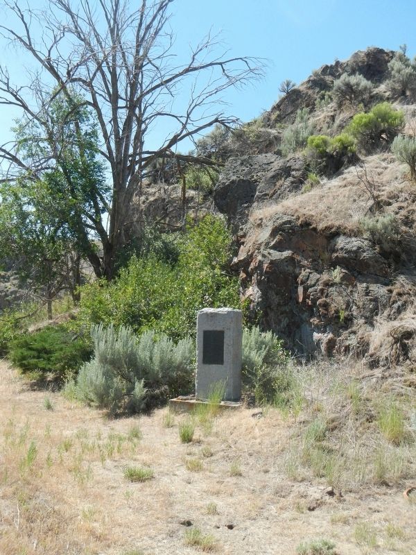
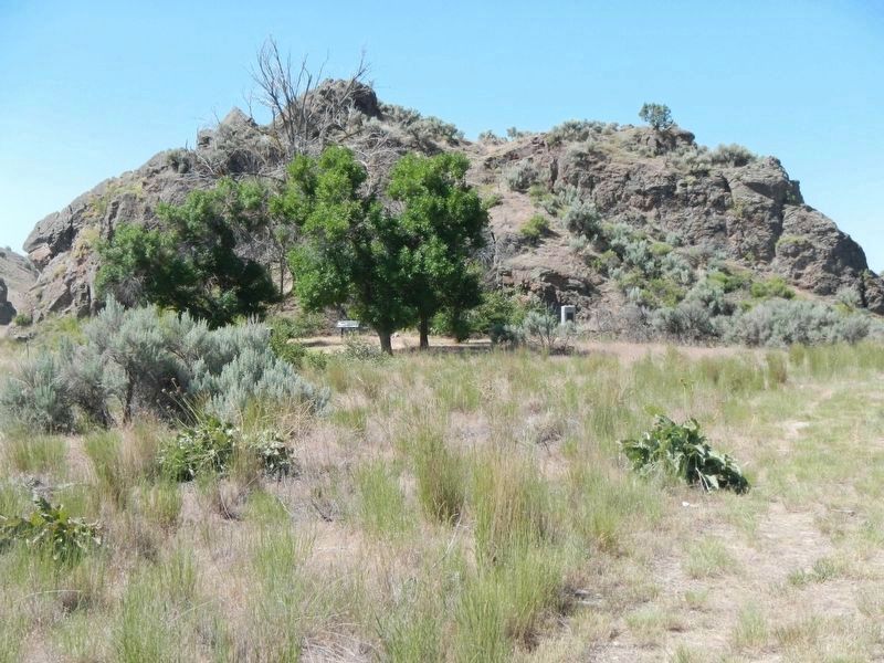
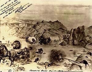
Massacre Rocks on Old Oregon Trail
Erected 1927 by Sons of Idaho.
Topics and series. This historical marker is listed in these topic lists: Disasters • Native Americans • Settlements & Settlers • Wars, US Indian. In addition, it is included in the Oregon Trail series list. A significant historical date for this entry is August 10, 1862.
Location. 42° 40.512′ N, 112° 59.262′ W. Marker is near American Falls, Idaho, in Power County. Marker can be reached from Park Lane near Register Road, on the left when traveling west. Touch for map. Marker is in this post office area: American Falls ID 83211, United States of America. Touch for directions.
Other nearby markers. At least 8 other markers are within 10 miles of this marker, measured as the crow flies. Massacre Rock - A Clashing of Cultures (a few steps from this marker); Snake River Rest Area Oregon Trail Kiosk (approx. 1.9 miles away); Oregon Trail (approx. 1.9 miles away); Register Rock (approx. 2.1 miles away); Coldwater Hill Rest Area Oregon Trail Kiosk (approx. 8.9 miles away); American Falls Power Plants (approx. 8.9 miles away); Emigrant Trails (approx. 8.9 miles away); a different marker also named Oregon Trail (approx. 9.1 miles away). Touch for a list and map of all markers in American Falls.
More about this marker. This marker is located at the end of Memorial Trail which has its trailhead near the Massacre Rocks State Park Visitor Center.
Credits. This page was last revised on October 21, 2020. It was originally submitted on October 2, 2018, by Barry Swackhamer of Brentwood, California. This page has been viewed 733 times since then and 37 times this year. Photos: 1, 2, 3, 4. submitted on October 2, 2018, by Barry Swackhamer of Brentwood, California.


