Downtown in Sioux Falls in Minnehaha County, South Dakota — The American Midwest (Upper Plains)
Fort Dakota, D.T.
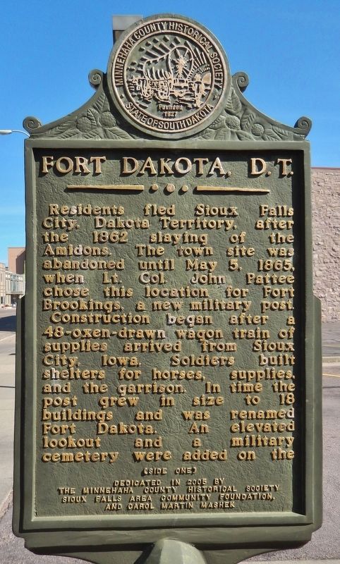
(side one)
Residents fled Sioux Falls City, Dakota Territory, after the 1862 slaying of the Amidons. The town site was abandoned until May 5, 1865, when Lt. Col. John Pattee chose this location for Fort Brookings, a new military post.
Construction began after a 48-oxen-drawn wagon train of supplies arrived from Sioux City, Iowa. Soldiers built shelters for horses, supplies, and the garrison. In time the post grew in size to 18 buildings and was renamed Fort Dakota. An elevated lookout and a military cemetery were added on the
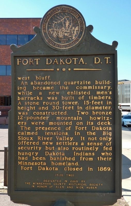
(side two)
west bluff.
An abandoned quartzite building became the commissary, while a new enlisted men’s barracks was built of timbers. A stone round tower, 15-feet in height and 30-feet in diameter, was constructed. Two bronze 12-pounder mountain howitzers were mounted on its deck.
The presence of Fort Dakota calmed tensions in the Big Sioux River Valley. It not only offered new settlers a sense of security but also routinely fed hungry Dakota Indians who had been banished from their Minnesota homeland.
Fort Dakota closed in 1869
the Minnehaha County Historical Society
in Honor of Alex and Nick Huber
Erected 2005 by The Minnehaha County Historical Society, in Honor of Alex and Nick Huber.
Topics. This historical marker is listed in these topic lists: Forts and Castles • Native Americans • Settlements & Settlers.
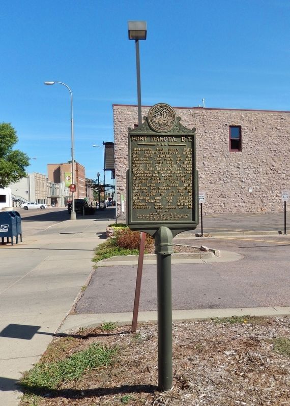
Location. 43° 32.958′ N, 96° 43.599′ W. Marker is in Sioux Falls, South Dakota, in Minnehaha County. It is in Downtown. Marker is on North Phillips Avenue, 0.1 miles north of East 8th Street, on the right when traveling north. Marker is located beside the sidewalk, on the east side of Phillips Avenue, at the north end of a parking lot. Touch for map. Marker is at or near this postal address: 200 North Phillips Avenue, Sioux Falls SD 57104, United States of America. Touch for directions.
Other nearby markers. At least 8 other markers are within walking distance of this marker. Josiah Phillips (within shouting distance of this marker); 8th Street Bridge (within shouting distance of this marker); Traverse (about 300 feet away, measured in a direct line); Overflow (about 300 feet away); Cigar Manufacturing (about 300 feet away); Course (about 300 feet away); Launch (about 300 feet away); Manchester Biscuit Company (about 400 feet away). Touch for a list and map of all markers in Sioux Falls.
Also see . . .
1. Fort Dakota. (This link presents some historic photos of Fort Dakota.)
Settlers and speculators began laying land claims around the Falls of the Big Sioux River in 1856. A military post was established to protect them from occasional negative encounters with the Native people in the area. In 1862, after Judge Joseph Amidon and his son William were killed by a band of hostile Indians, and as the Sioux Uprising was escalating in Minnesota, the town was abandoned. Settlers and soldiers relocated to Yankton in August of 1862. (Submitted on October 4, 2018, by Cosmos Mariner of Cape Canaveral, Florida.)
2. Fort Dakota. (This links to a CSPAN video presentation about Fort Dakota.)
Bill Hoskins talks about Fort Dakota and what life was like for soldiers at this distant military outpost. Fort Dakota was established by the U.S. Military in 1865 as tensions between American Indians and white settlers grew. (Submitted on October 4, 2018, by Cosmos Mariner of Cape Canaveral, Florida.)
3. Fort Dakota, D.T. - 1865-1869. Fort Dakota was a typical outpost of the frontier period. As with most temporary posts of the time, it looked more like a village than a fort since the chances of a frontal attack were remote. Few outposts across the frontier displayed stockades or other defenses. The big threats at Fort Dakota consisted of an occasional Sioux Indian running off with post horses or harassing settlers encroaching their homeland. Fort Dakota was a loosely grouped collection of buildings constructed from local naturally occurring materials surrounded
by a simple rail fence to keep the grazing stock from wandering. (Submitted on October 4, 2018, by Cosmos Mariner of Cape Canaveral, Florida.)
Credits. This page was last revised on February 16, 2023. It was originally submitted on October 3, 2018, by Cosmos Mariner of Cape Canaveral, Florida. This page has been viewed 435 times since then and 44 times this year. Photos: 1, 2, 3. submitted on October 4, 2018, by Cosmos Mariner of Cape Canaveral, Florida. • Bill Pfingsten was the editor who published this page.


