Point Pleasant in Mason County, West Virginia — The American South (Appalachia)
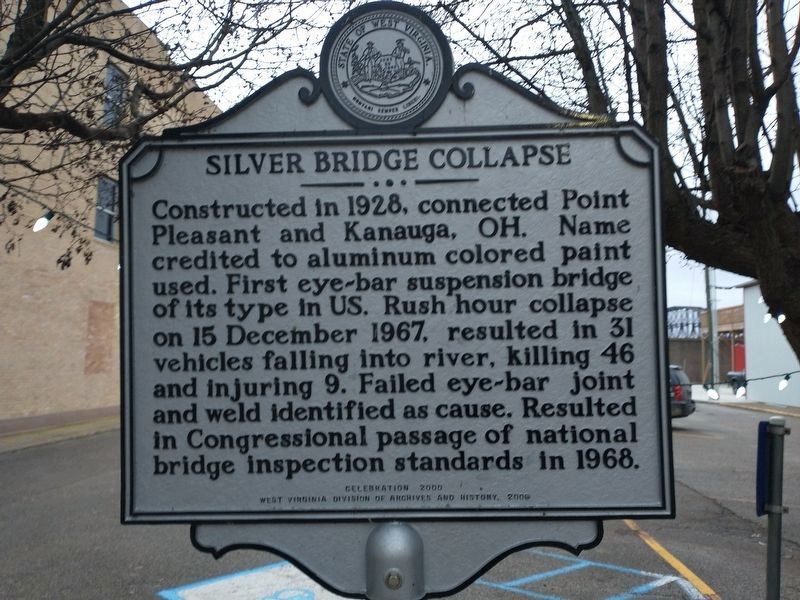
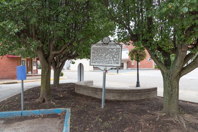
Silver Bridge Collapse
Erected 2006 by Celebration 2000 — West Virginia Division of Archives and History.
Topics and series. This historical marker is listed in these topic lists: Bridges & Viaducts • Disasters • Roads & Vehicles • Waterways & Vessels. In addition, it is included in the West Virginia Archives and History series list. A significant historical date for this entry is December 15, 1967.
Location. 38° 50.675′ N, 82° 8.304′ W. Marker is in Point Pleasant, West Virginia, in Mason County. Marker is at the intersection of 6th Street and Main Street on 6th Street. Touch for map. Marker is in this post office area: Point Pleasant WV 25550, United States of America. Touch for directions.
Other nearby markers. At least 8 other markers are within walking distance of this marker. Site of Silver Bridge Collapse (a few steps from this marker); Point Pleasant (a few steps from this marker); West Virginia (Mason County) / Ohio (a few steps from this marker); Corner of Sixth and Main Street (within shouting distance of this marker); 207 Sixth Street (within shouting distance of this marker); Sam Littlepage (within shouting distance of this marker); Silver Bridge Collapse and Creation of National Bridge Inspection Standards (NBIS) (within shouting distance of this marker); World War II Memorial (within shouting distance of this marker). Touch for a list and map of all markers in Point Pleasant.
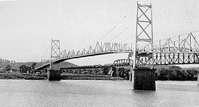
More about this marker. Sixth Street was the approach to the Silver Bridge, which carried U.S. 35 over the Ohio River.
Related markers. Click here for a list of markers that are related to this marker.
Also see . . .
1. Wikipedia Entry for Silver Bridge. “Reviewing the collapse and subsequent investigation in his 2012 book To Forgive Design, engineering historian Henry Petroski finds it ‘a cautionary tale for engineers of every kind.’ As a result of the thoroughness of the investigation, the cause of the disaster was precisely and indisputably found to be ‘a design that inadvertently made inspection all but impossible and failure all but inevitable. If ever a design was to blame for a failure, this was it.’
“He does not fault the bridge’s designers, who were ignorant of many of these hazards. Instead he points to the future. ‘If there is anything positive about the Silver Bridge failure,’ he concludes, ‘it is that its legacy should be to remind engineers to proceed always with the utmost caution, ever mindful of the possible existence of unknown unknowns and the potential consequences of even the smallest design decisions.’” (Submitted on October 3, 2018.)
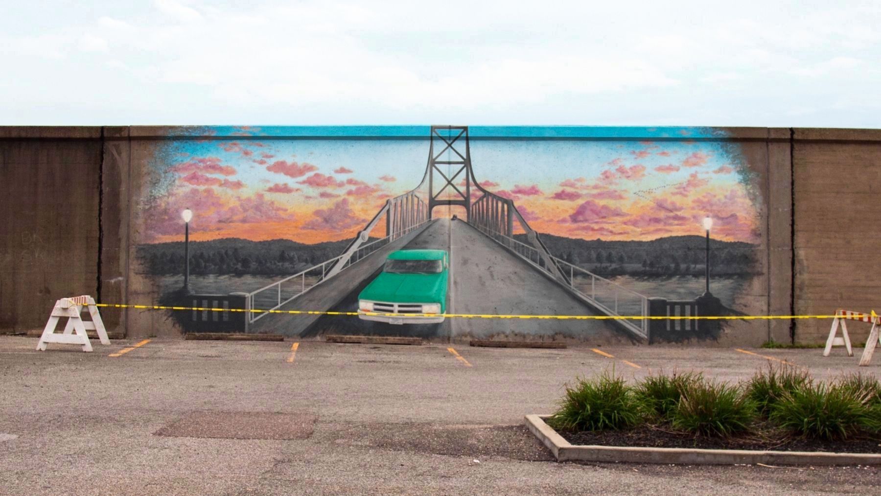
2. Mural to bring the Silver Bridge back to 6th Street. 2018 article by Beth Sergent in the Point Pleasant Register. “WVDOH officials contacted Jesse Corlis from Braxton County about coming up with the design, while officials with the City of Point Pleasant and Mason County Commission approached the public and collected donations of $8,000 needed to bring the mural to life this spring. Mayor Brian Billings and Commissioner Tracy Doolittle were on the committee both to help with the observance and raise the mural funds.” (Submitted on October 3, 2018.)
Credits. This page was last revised on January 5, 2022. It was originally submitted on October 3, 2018, by J. J. Prats of Powell, Ohio. This page has been viewed 524 times since then and 33 times this year. Photos: 1. submitted on January 5, 2022, by Craig Doda of Napoleon, Ohio. 2, 3, 4. submitted on October 3, 2018, by J. J. Prats of Powell, Ohio.


