Near Leesburg in Loudoun County, Virginia — The American South (Mid-Atlantic)
Martin Buchanan, USCT
A Place of Hopes and Dreams - Gleedsville
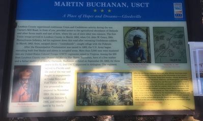
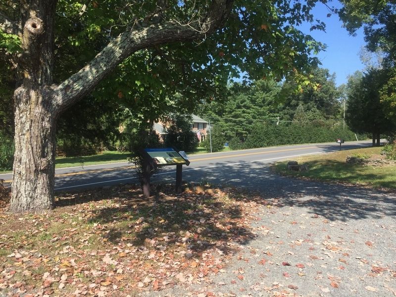
Loudoun County experienced continuous Union and Confederate activity during the war. Carter's Mill Road, in front of you, provided access to the agricultural abundance of Oatlands and other farms south and east of here, where the use of slave labor was common. The first Union troops arrived in Loudoun County in March 1862, when Col. John W. Geary, 28th Pennsylvania Infantry, led his regiment down this road after retreating Confederate soldiers in March 1862. Soon, escaped slaves -- "contrabands" -- sought refuge with the Federals.
After the Emancipation Proclamation was issued in 1863, the U.S. Army began recruiting both free blacks and slaves in occupied areas. More than 5,000 men were mustered into six United States Colored Troops (USCT) regiments raised in Virginia. Among the 250 from Loudoun County was 19-year-old Martin Van Buren Buchanan, born of a free mother and a father enslaved at nearby Oatlands. Buchanan enlisted on September 30, 1863, for three years in Co. G, 2nd USCT, organized in Arlington. The regiment served in Florida until the end of the war and fought engagements at Cedar Keys and Fort Taylor. Buchanan was promoted to corporal in November 1863. He was mustered out January 5, 1866, and returned here to his family.
(Sidebar):
After the war, former Oatlands slaves and other African Americans established the Gleedsville community here at the intersection of the Carter's Mill and Mountain Gap Roads. Newly freed families - Gleeds, Buchanans, Days, Turners, Allens, Valentines, Johnsons, and Murrays - cooperated to create a town. Jack Gleed, a community advocate, purchased land across the street in 1881 for $175 and led the fight for a school, which was established in 1899.
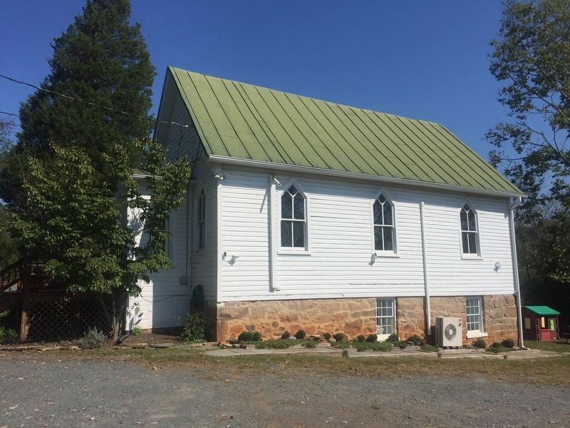
In 1890, Gleedsville residents including trustee Martin Buchanan built the Mt. Olive A.M.E. Church behind you. They worked at night by candlelight, using rocks from the fields for the foundation and cutting pines and oaks for the siding, floor, and pews. The walls are covered with wainscoting in a shiplap pattern that gives the church the appearance of an ark inside. It is the only surviving building in this postwar freedman's village.
Erected 2015 by Loudoun County Civil War Sesquicentennial Committee and Virginia Civil War Trails.
Topics and series. This historical marker is listed in these topic lists: African Americans • Churches & Religion • War, US Civil. In addition, it is included in the African Methodist Episcopal (AME) Church, and the Virginia Civil War Trails series lists. A significant historical month for this entry is March 1862.
Location. 39° 3.054′ N, 77° 36.179′ W. Marker is near Leesburg, Virginia, in Loudoun County. Marker is at the intersection of Gleedsville Road (County Road 650) and Stone Fox Court, on the right when traveling north on Gleedsville Road. Touch for map. Marker is at or near this postal address: 20460 Gleedsville Road, Leesburg VA 20175, United States of America. Touch for directions.
Other nearby markers. At least 8 other markers are within one mile of this marker, measured as the crow flies. First Mt. Olive Methodist Episcopal Church (a few steps from this marker); Mt. Gap School (approx. 0.9 miles away); Reclaim Your Story (approx. one mile away); The Garden Dependency (approx. one mile away); The Smokehouse (approx. one mile away); Oatlands (approx. one mile away); The Walled Garden (approx. one mile away); The Enslaved at Oatlands (approx. one mile away). Touch for a list and map of all markers in Leesburg.
Credits. This page was last revised on April 9, 2022. It was originally submitted on October 8, 2018, by Craig Swain of Leesburg, Virginia. This page has been viewed 399 times since then and 21 times this year. Photos: 1, 2, 3. submitted on October 8, 2018, by Craig Swain of Leesburg, Virginia.


