Downtown in Sioux Falls in Minnehaha County, South Dakota — The American Midwest (Upper Plains)
Industry
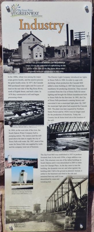
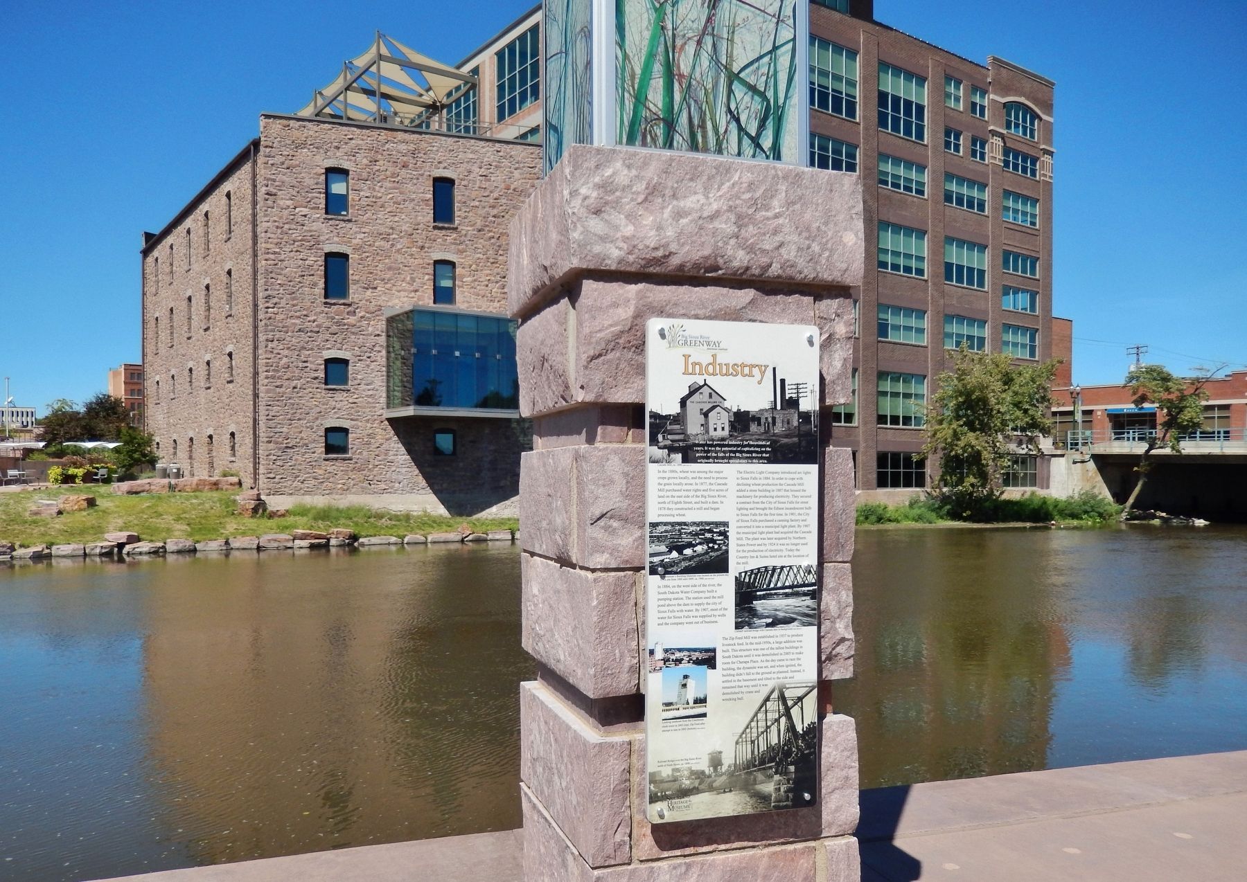
In 1884, on the west side of the river, the South Dakota Water Company built a pumping station. The station used the mill pond above the dam to supply the city of Sioux Falls with water. By 1907, most of the water for Sioux Falls was supplied by wells and the company went out of business.
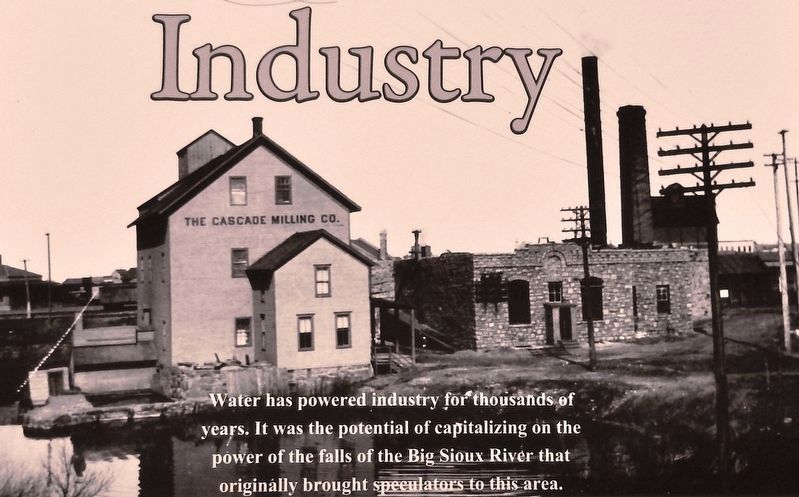
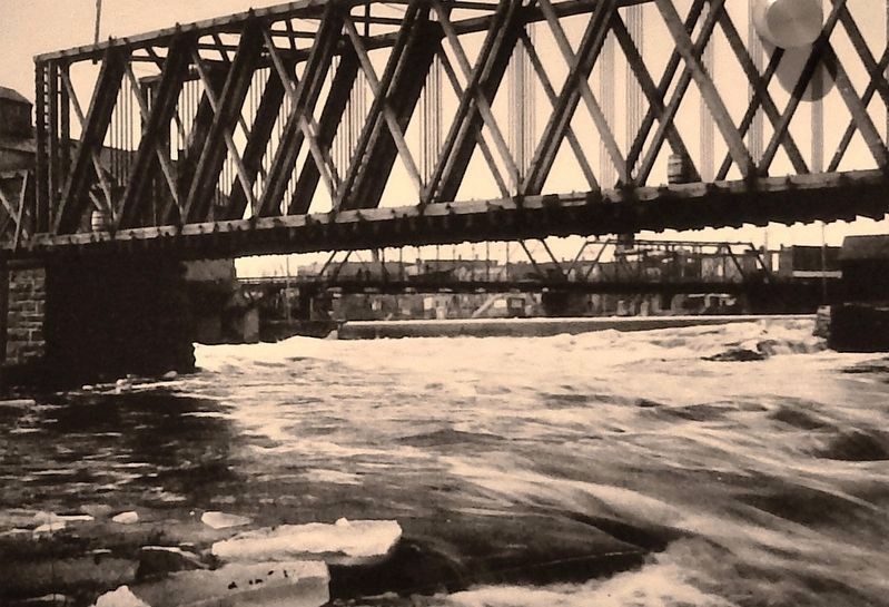
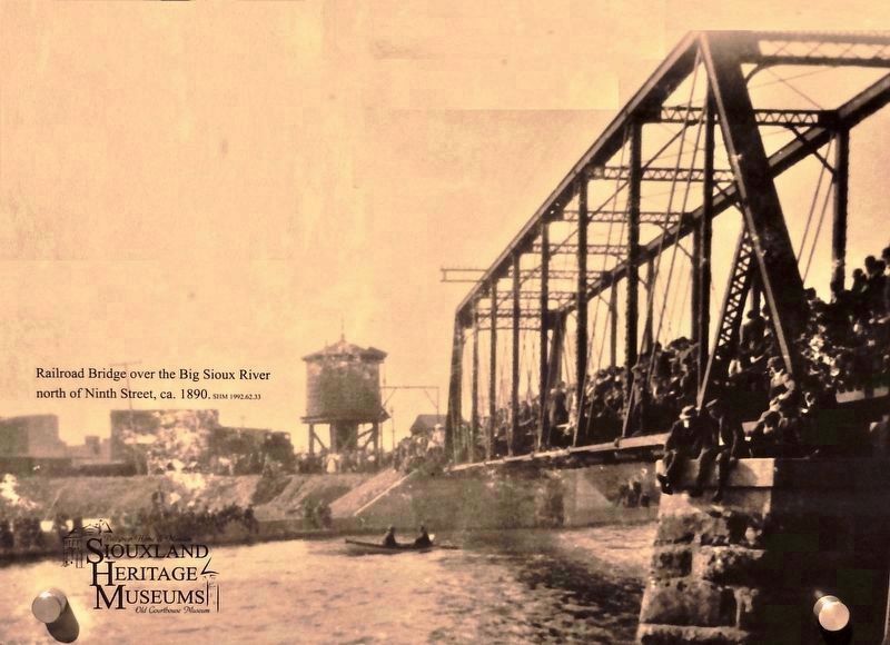
The Electric Light Company introduced arc lights to Sioux Falls in 1884. In order to cope with declining wheat production the Cascade Mill added a stone building in 1887 that housed the machinery for producing electricity. They secured a contract from the City of Sioux Falls for street lighting and brought the Edison incandescent bulb to Sioux Falls for the first time. In 1901, the City of Sioux Falls purchased a canning factory and converted it into a municipal light plant. By 1907 the municipal light plant had acquired the Cascade Mill. The plant was later acquired by Northern States Power and by 1924 it was no longer used for the production of electricity. Today the Country Inn & Suites hotel sits at the location of the mill.
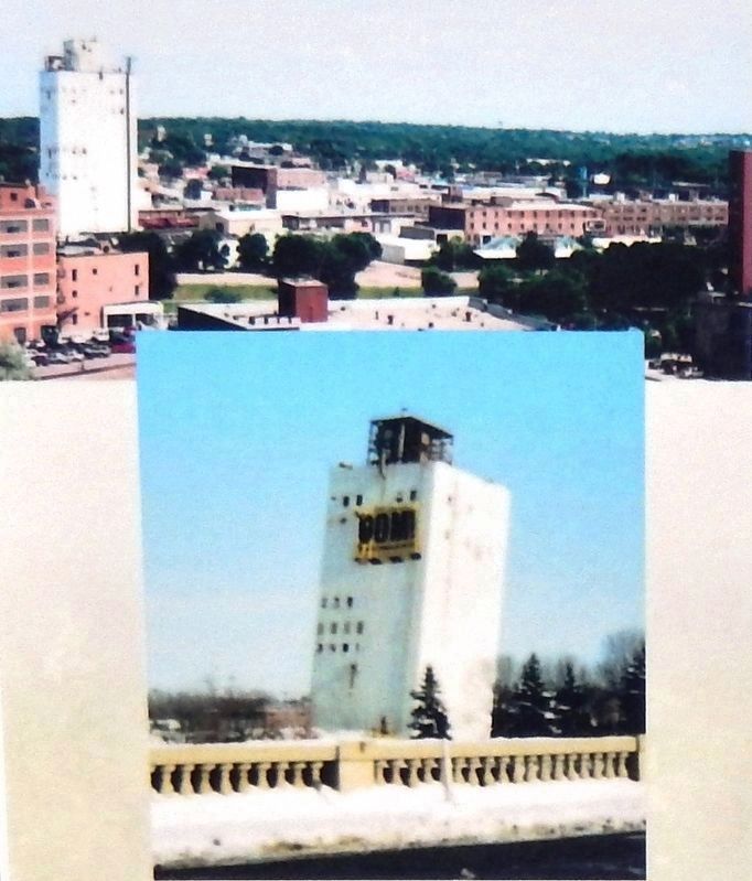
The Zip Feed Mill was established in 1937 to produce livestock feed. In the mid-1950s, a large addition was built. This structure was one of the tallest buildings in South Dakota until it was demolished in 2005 to make room for Cherapa Place. As the day came to raze the building, the dynamite was set, and when ignited, the building didn't fall to the ground as planned. Instead, it settled in the basement and tilted to the side and remained that way until it was demolished by crane and wrecking ball.
Erected by Big Sioux River Recreation Trail and Greenway, and Siouxland Heritage Museums.
Topics. This historical marker is listed in this topic list: Industry & Commerce.
Location. 43° 33.034′ N, 96° 43.446′ W. Marker is in Sioux Falls, South Dakota, in Minnehaha County. It is in Downtown. Marker can be reached from North Cherapa Place south of East 6th Street. Marker is located along the Big Sioux River Recreation Trail, overlooking the river. Touch for map. Marker is at or near this postal address: 300 North Cherapa Place, Sioux Falls SD 57103, United States of America. Touch for directions.
Other nearby markers. At least 8 other markers are within walking distance of this marker. Manchester Biscuit Company (here, next to this marker); Raven Industries (here, next to this marker); Railroads (here, next to this marker); Quarries
(within shouting distance of this marker); Flooding (within shouting distance of this marker); Recreation (within shouting distance of this marker); Urban Renewal (within shouting distance of this marker); Early Sioux Falls (within shouting distance of this marker). Touch for a list and map of all markers in Sioux Falls.
More about this marker. Marker is a large composite plaque, mounted at eye-level on a tall stone pillar.
Credits. This page was last revised on February 16, 2023. It was originally submitted on October 9, 2018, by Cosmos Mariner of Cape Canaveral, Florida. This page has been viewed 222 times since then and 8 times this year. Photos: 1, 2, 3, 4, 5. submitted on October 11, 2018, by Cosmos Mariner of Cape Canaveral, Florida. 6. submitted on October 30, 2018, by Cosmos Mariner of Cape Canaveral, Florida. 7. submitted on October 11, 2018, by Cosmos Mariner of Cape Canaveral, Florida. • Bill Pfingsten was the editor who published this page.
