Fort Pierre in Stanley County, South Dakota — The American Midwest (Upper Plains)
Verendrye Explorers
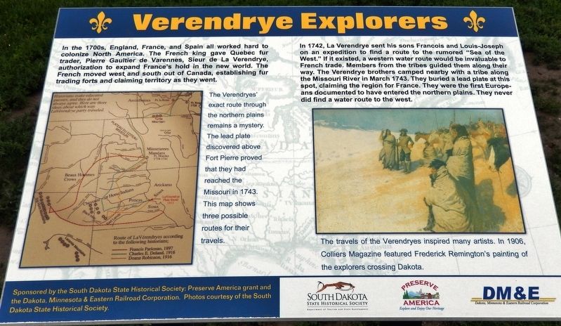
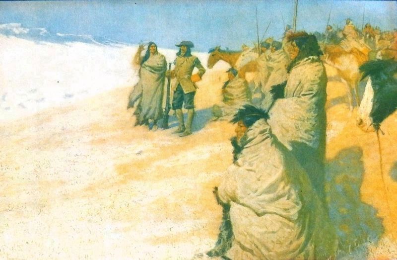
In 1742, La Verendrye sent his sons Francois and Louis-Joseph on an expedition to find a route to the rumored “Sea of the West.” If it existed, a western water route would be invaluable to French trade. Members from the tribes guided them along their way. The Verendrye brothers camped nearby with a tribe along the Missouri River in March 1743. They buried a lead plate at this spot, claiming the region for France. They were the first Europeans documented to have entered the northern plains. They never did find a water route to the west.
Erected by The South Dakota State Historical Society; a Preserve America grant and the Dakota, Minnesota and Eastern Railroad Corporation.
Topics. This historical marker is listed in these topic lists: Colonial Era • Exploration • Native Americans. A significant historical month for this entry is March 1743.
Location. 44° 21.321′ N, 100° 22.695′ W. Marker is in Fort Pierre, South Dakota, in Stanley County. Marker is on Verendrye Drive (2nd Street), 0.4 miles north of West 2nd Avenue. Marker is located at the Verendrye National Historic Site, on the hilltop overlooking Fort Pierre and the Missouri River. Touch for map. Marker is in this post office area: Fort Pierre SD 57532, United States of America. Touch for directions.
Other nearby markers. At least 8 other markers are within walking distance of this marker. Translation of the Verendrye Plate (here, next to this marker); The Verendrye Site (a few steps from this marker); Verendrye Tablet Site (within shouting distance of this marker); a different marker also named Verendrye Site (within shouting distance of this marker); Fort Pierre (approx. 0.2 miles away); Lewis and Clark / Fort Pierre, South Dakota (approx. 0.2 miles away); a different marker also named Fort Pierre (approx. 0.2 miles away); Casey Tibbs (approx. 0.2 miles away). Touch for a list and map of all markers in Fort Pierre.
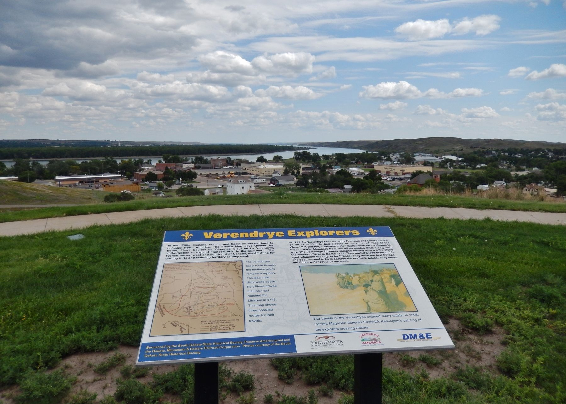
More about this marker. Marker is a large composite plaque, mounted horizontally, on waist-high posts.
Regarding Verendrye Explorers. National Historic Landmark (1991)
Related markers. Click here for a list of markers that are related to this marker. The Verendrye National Historic Site
Also see . . . Verendrye brothers' journey to the Rocky Mountains. The Vérendrye brothers

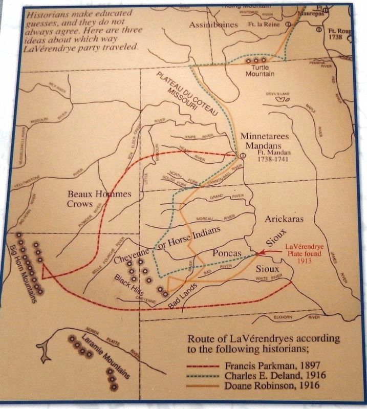
2. Marker detail: La Verendryes' route according to the historians: Parkman, Deland and Robinson
The Verendryes' exact route through the northern plains remains a mystery. The lead plate discovered above Fort Pierre proved that they had reached the Missouri in 1743. This map shows three possible routes for their travels.
Credits. This page was last revised on October 14, 2018. It was originally submitted on October 11, 2018, by Cosmos Mariner of Cape Canaveral, Florida. This page has been viewed 386 times since then and 68 times this year. Photos: 1, 2, 3, 4. submitted on October 13, 2018, by Cosmos Mariner of Cape Canaveral, Florida. • Andrew Ruppenstein was the editor who published this page.


