Nokomis in Sarasota County, Florida — The American South (South Atlantic)
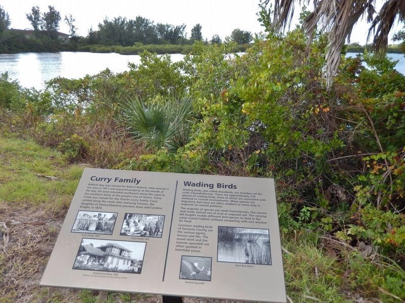
Curry Family / Wading Birds
Curry Family
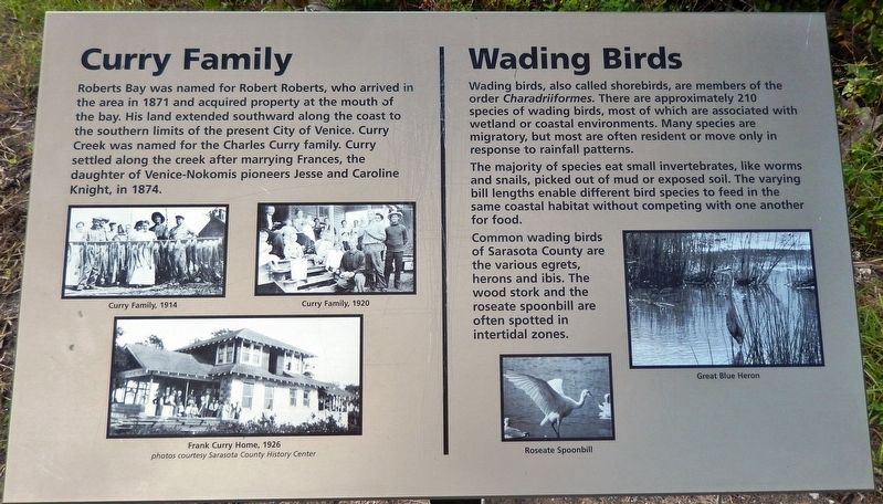
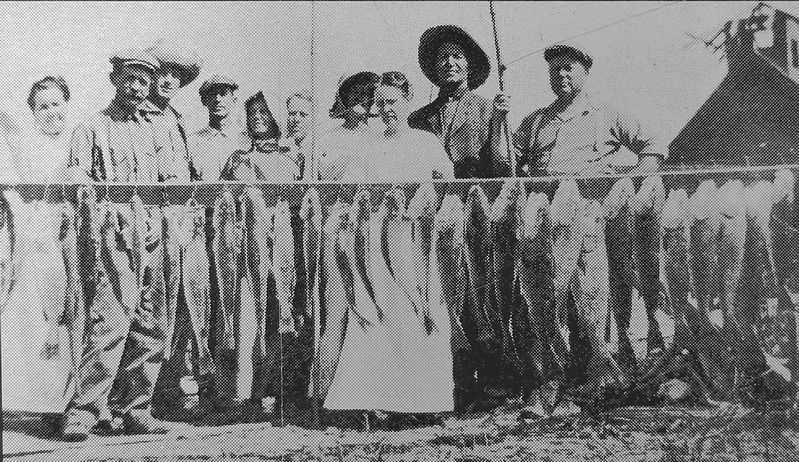
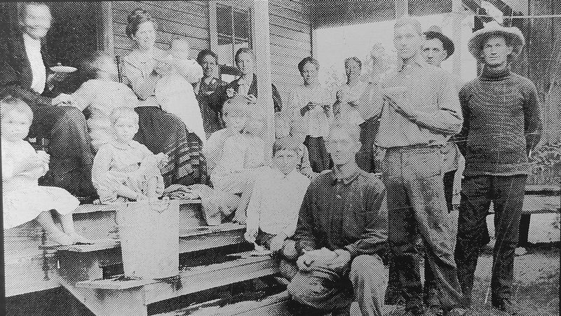
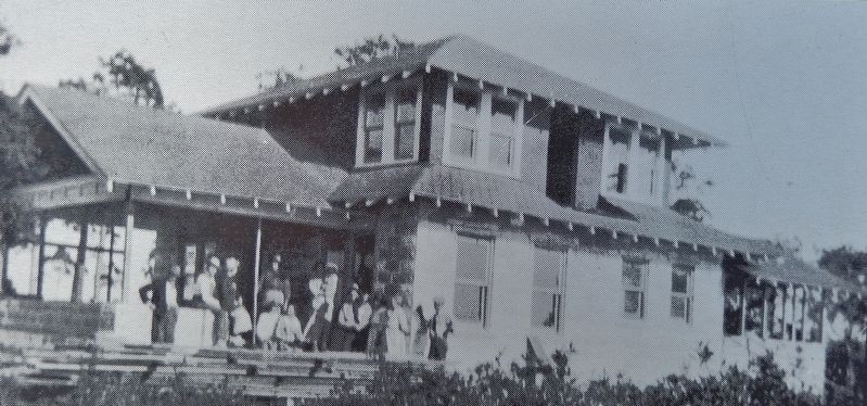
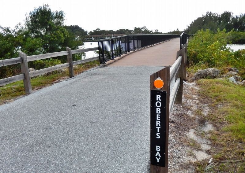
Roberts Bay was named for Robert Roberts, who arrived in the area in 1871 and acquired property at the mouth of the bay. His land extended southward along the coast to the southern limits of the present City of Venice. Curry Creek was named for the Charles Curry family. Curry settled along the creek after marrying Frances, the daughter of Venice-Nokomis pioneers Jesse and Caroline Knight, in 1874.
Wading Birds
Wading birds, also called shorebirds, are members of the order Charadriiformes. There are approximately 210 species of wading birds, most of which are associated with wetland or coastal environments. Many species are migratory, but most are often resident or move only in response to rainfall patterns.
The majority of species eat small invertebrates, like worms and snails, picked out of mud or exposed soil. The varying bill lengths enable different bird species to feed in the same coastal habitat without competing with one another for food.
Common wading birds of Sarasota County are the various egrets, herons and ibis. The wood stork and the roseate spoonbill are often spotted in intertidal zones.
Topics. This historical marker is listed in these topic lists: Animals • Settlements & Settlers.
Location. 27° 6.919′ N, 82° 26.626′ W. Marker is in Nokomis, Florida, in Sarasota County. Marker can be reached from Colonia Lane East, half a mile east of South Tamiami Trail (U.S. 41), on the right when traveling east. Marker is located on the Sarasota-to-Venice Legacy Rail Trail, on the west side of the trail, 1/3 mile south of Colonia Lane East, near Nokomis Community Park. Touch for map. Marker is in this post office area: Nokomis FL 34275, United States of America. Touch for directions.
Other nearby markers. At least 8 other markers are within walking distance of this marker. History of Nokomis / Fred Albee (approx. 0.2 miles away); Nokomis School (approx. ¼ mile away); Knight Memorial/Area First Cemetery (approx. 0.3 miles away); Pentagon 9-11 Memorial (approx. 0.3 miles away); Berlin Airlift Memorial (approx. 0.3 miles away); Revolutionary War Patriots (approx. 0.4 miles away); Turpentine / Venice Ice House (approx. 0.4 miles away); Shakett Creek / Estuary "the cradle of the ocean" (approx. 0.9 miles away). Touch for a list and map of all markers in Nokomis.
More about this marker. Marker is a large laser-printed metal plaque, mounted horizontally on a waist-high post.
Also see . . . The History of Venice. Venice Main Street website entry (Submitted on November 8, 2021, by Larry Gertner of New York, New York.)
Credits. This page was last revised on November 8, 2021. It was originally submitted on October 14, 2018, by Cosmos Mariner of Cape Canaveral, Florida. This page has been viewed 490 times since then and 50 times this year. Photos: 1, 2, 3, 4, 5, 6. submitted on October 14, 2018, by Cosmos Mariner of Cape Canaveral, Florida. • Andrew Ruppenstein was the editor who published this page.
