Fairfield in Kennebec County, Maine — The American Northeast (New England)
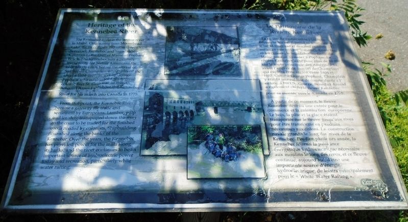
Heritage of the Kennebec River
Le patrimoine de la Rivière Kennebec
The Kennebec River is the largest river in Maine. Originating from Moosehead Lake, the river flows 190 miles through Somerset, Kennebec and Sagadahoc Counties to the Gulf of Maine at Popham Beach. The Kennebec was a primary travel route for Native Americans for over 40,000 years before the arrival of Samuel de Champlain who explored the area in 1604-1607, as well as George Popham who established a short-lived colony, Fort St. George, at its mouth. Benedict Arnold also chose the Kennebec River for his march into Canada in 1775.
From this point, the Kennebec River became a gateway for trade and settlement by Europeans. Lumber, pulp and ice were transported down the river to the coast to be traded for the finished goods needed by colonists. Shipbuilding flourished along the banks of the Kennebec. Over the years, the Kennebec has provided power for the mills along its banks, and the river continues to be an important source of hydroelectric power today and recreation, particularly white water rafting.
À partir de ce moment, le fleuve Kennebec devenu une entrée pour le commerce et la colonisation européenne. Le bois, la pâte et la glace étaient transportés sur le fleuve jusqu'aux rives pour être transformé en produits nécessaires aux colons. La construction navale grandit le long des rives de la Kennebec. Pendant plusieurs année, la Kennebec fournit la ouissiance énergétique hydroélectrique nécessaire aux moulins le long des rives, et ce fleuve continue, aujourd'hui, d'être une importante source d'énergie hydroélectrique, de loisirs principalement pour le « White Water Rafting ».
Topics. This historical marker is listed in these topic lists: Industry & Commerce • Native Americans • Settlements & Settlers • Waterways & Vessels. A significant historical year for this entry is 1775.
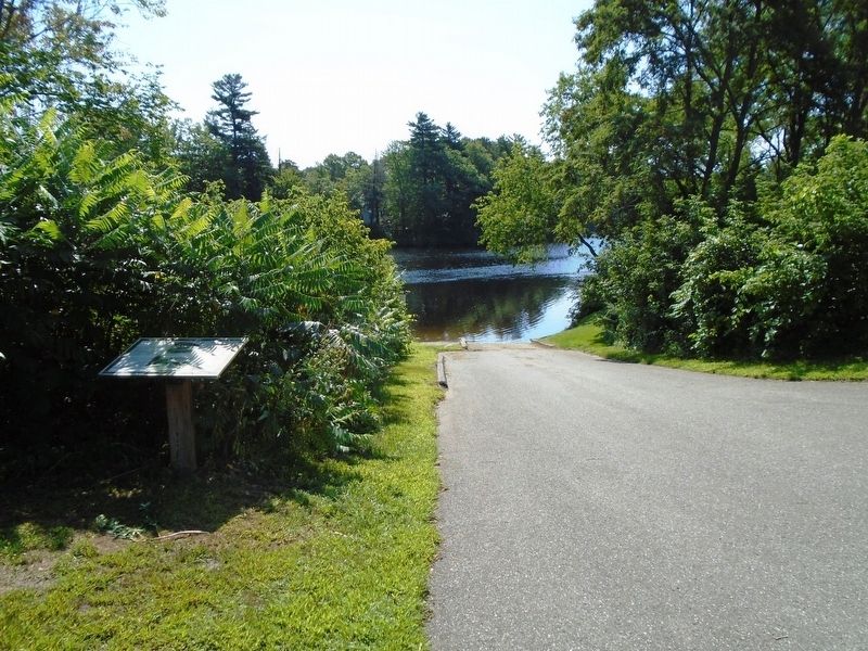
Location. 44° 35.142′ N, 69° 35.636′ W. Marker is in Fairfield, Maine, in Kennebec County. Marker is at the intersection of Mill Street and Water Street, on the left when traveling south on Mill Street. Marker is adjacent to the boat launch. Touch for map. Marker is at or near this postal address: 80 Water Street, Fairfield ME 04937, United States of America. Touch for directions.
Other nearby markers. At least 8 other markers are within 4 miles of this marker, measured as the crow flies. A different marker also named Heritage of the Kennebec River (about 600 feet away, measured in a direct line); Early Electric Power Generation (about 700 feet away); VFW 6924 Veterans Memorial (approx. half a mile away); The Two Cent Bridge (approx. 2.9 miles away); Waterville Maine Veteran's Park (approx. 3.1 miles away); Waterville Maine WWI Marker (approx. 3.1 miles away); Waterville Maine Civil War Memorial (approx. 3.1 miles away); Immigration (approx. 3.2 miles away). Touch for a list and map of all markers in Fairfield.
Related marker. Click here for another marker that is related to this marker.
Also see . . .
1. Kennebec River. Britannica website entry (Submitted on October 15, 2018, by William Fischer, Jr. of Scranton, Pennsylvania.)
2. Kennebec River. Wikipedia entry (Submitted on October 15, 2018, by William Fischer, Jr. of Scranton, Pennsylvania.)
3. Kennebec River: Unfinished Business. Maine Rivers website entry (Submitted on October 15, 2018, by William Fischer, Jr. of Scranton, Pennsylvania.)
Additional commentary.
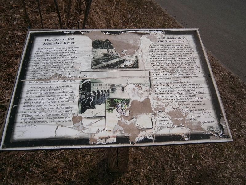
1. Marker Condition
This marker has degraded substantially since the first picture was taken. Photo No. 2 shows the condition on March 28, 2020.
— Submitted March 28, 2020, by David Jackson of Smithfield, Maine.
Credits. This page was last revised on November 9, 2021. It was originally submitted on October 15, 2018, by William Fischer, Jr. of Scranton, Pennsylvania. This page has been viewed 198 times since then and 19 times this year. Photos: 1. submitted on October 15, 2018, by William Fischer, Jr. of Scranton, Pennsylvania. 2. submitted on March 28, 2020, by David Jackson of Smithfield, Maine. 3, 4. submitted on October 15, 2018, by William Fischer, Jr. of Scranton, Pennsylvania.


