Takoma Park in Montgomery County, Maryland — The American Northeast (Mid-Atlantic)
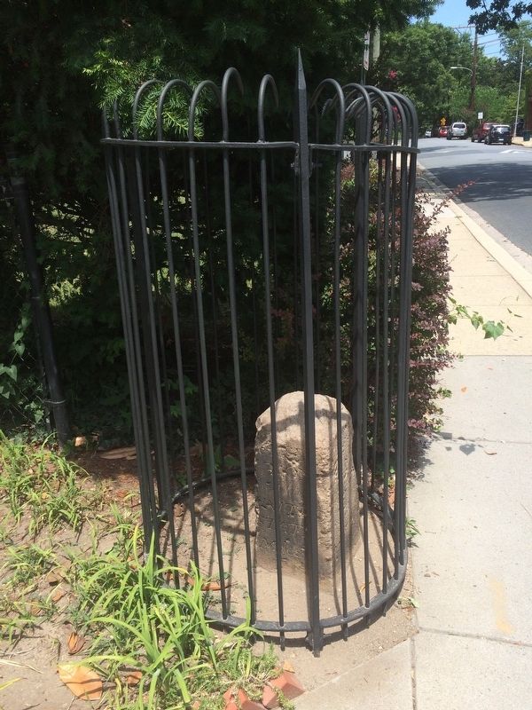
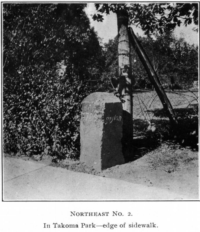
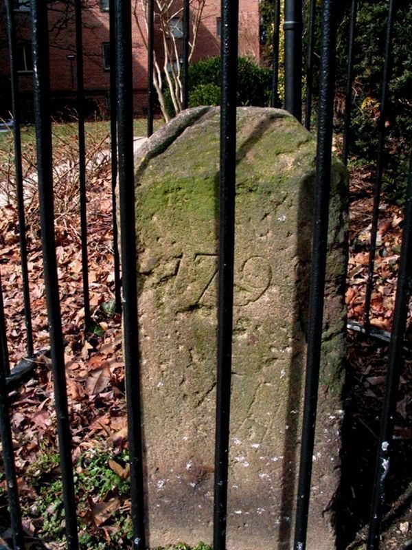
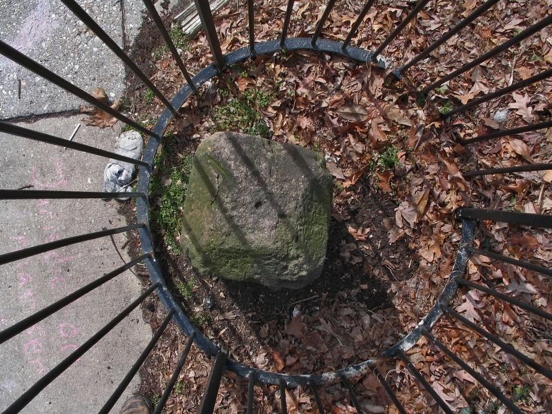
Original Federal Boundary Stone, District of Columbia, Northeast 2
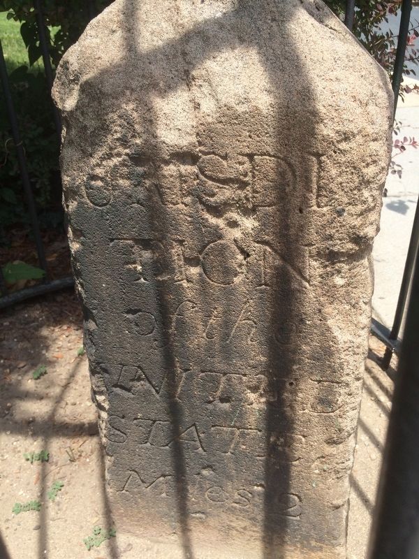
Inscription.
Miles 2
1792
Maryland
Var. 1.12
Erected 1792.
Topics and series. This historical marker is listed in this topic list: Notable Places. In addition, it is included in the Original Federal Boundary Stones series list. A significant historical year for this entry is 1792.
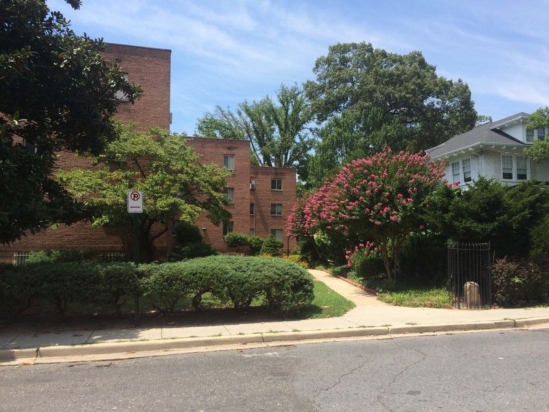
Location. 38° 58.52′ N, 77° 0.875′ W. Marker is in Takoma Park, Maryland, in Montgomery County. Marker is on Maple Avenue just north of Carroll Street, NW, on the left when traveling north. Touch for map. Marker is at or near this postal address: 7000 Maple Avenue, Washington DC 20012, United States of America. Touch for directions.
Other nearby markers. At least 8 other markers are within walking distance of this marker. Roscoe (about 700 feet away, measured in a direct line); Early Takoma (about 700 feet away); The Thomas / Siegler House and Garden (about 700 feet away); Union Chapel (about 800 feet away); Scott H. Lawson (approx. 0.2 miles away); DC's Pollinator Network (approx. 0.2 miles away in District of Columbia); Takoma Station Tavern (approx. 0.2 miles away in District of Columbia); Takoma Theatre Timeline (approx. ¼ mile away in District of Columbia). Touch for a list and map of all markers in Takoma Park.
Credits. This page was last revised on August 16, 2020. It was originally submitted on September 11, 2016, by J. Makali Bruton of Accra, Ghana. This page has been viewed 586 times since then and 35 times this year. Last updated on August 15, 2020, by Roberto Bernate of Arlington, Virginia. Photos: 1, 2, 3. submitted on September 11, 2016, by J. Makali Bruton of Accra, Ghana. 4, 5, 6. submitted on March 23, 2017, by Allen C. Browne of Silver Spring, Maryland. • Devry Becker Jones was the editor who published this page.
