Ticonderoga in Essex County, New York — The American Northeast (Mid-Atlantic)
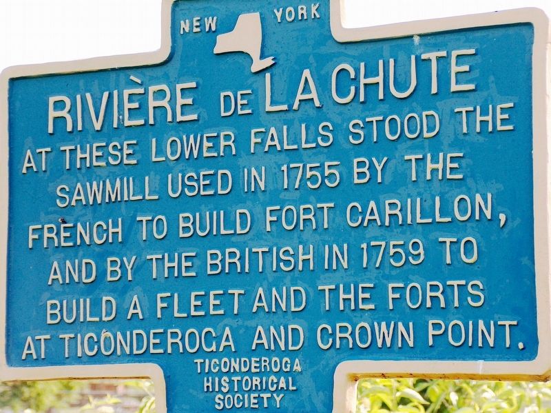
Rivière de La Chute
sawmill used in 1755 by the
French to build Fort Carillon,
and by the British in 1759 to
build a fleet and the forts
at Ticonderoga and Crown Point.
Ticonderoga
Historical
Society
Erected by Ticonderoga Historical Society.
Topics. This historical marker is listed in these topic lists: Colonial Era • Forts and Castles • Industry & Commerce • Waterways & Vessels. A significant historical year for this entry is 1755.
Location. 43° 50.961′ N, 73° 25.251′ W. Marker is in Ticonderoga, New York, in Essex County. Marker can be reached from Tower Avenue, 0.1 miles north of Montcalm Street, on the right when traveling north. Marker is located at the south edge of the La Chute River Falls, near the Ticonderoga Heritage Museum and Visitor Center. Touch for map. Marker is at or near this postal address: 137 Montcalm Street, Ticonderoga NY 12883, United States of America. Touch for directions.
Other nearby markers. At least 8 other markers are within walking distance of this marker. Tower Avenue Grindstones (within shouting distance of this marker); Lakes to Locks Passage (about 300 feet away, measured in a direct line); a different marker also named Lakes to Locks Passage (about 300 feet away); Sharing the Flow (about 300 feet away); Grand Carry Landing (about 400 feet away); 1756 French Saw Mill on La Chute River (about 400 feet away); Crossroads of a Community (about 500 feet away); Hon. Clayton Harris DeLano (about 500 feet away). Touch for a list and map of all markers in Ticonderoga.
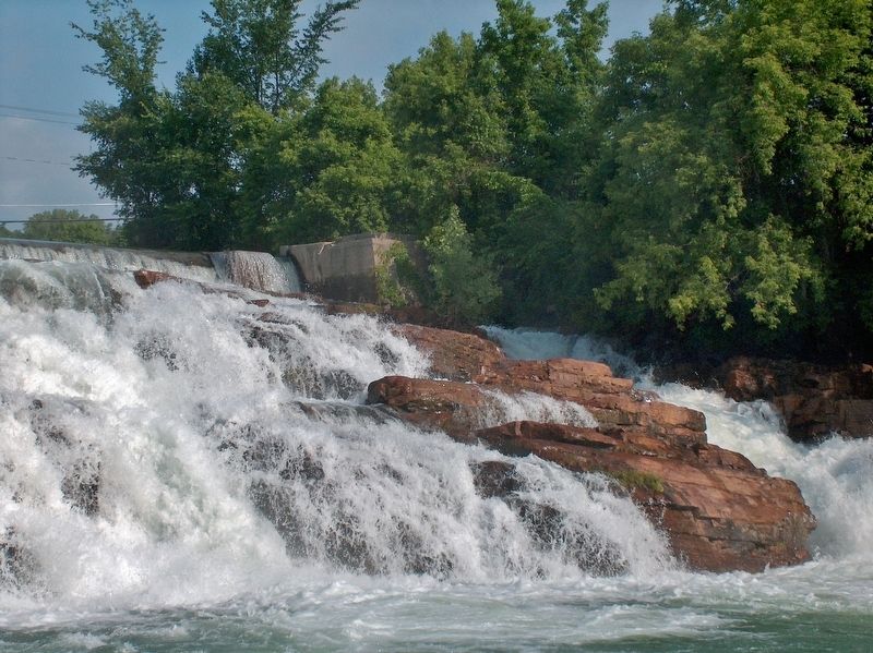
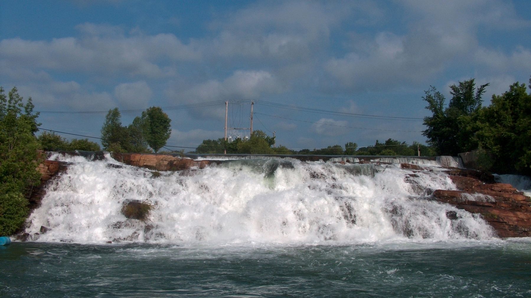
Regarding Rivière de La Chute. This particular waterfall, the last of five along the 2-mile stretch of the river, is the most historically significant. To see it today, is to see it in a form where one can easily visualize what it must have been like so many years ago. The vast industrial area that once occupied this place has been completely replaced by a large, beautiful park. There are a number of historical markers here and only one small brick building remains of the huge paper mill. The area is largely cleared of trees as it would have been when the sawmills were in full operation.
Related markers. Click here for a list of markers that are related to this marker. La Chute Riverwalk, Ticonderoga Bicentennial Park
Also see . . .
1. La Chute River. Wikipedia entry:
The La Chute River is a short, fast-moving river, near the Vermont-New York State border, now almost wholly contained within the municipality of Ticonderoga, New York, connecting the northern end and outlet of Lake George and the southern end of Lake Champlain through many falls and rapids, while dropping about 230 feet on its course. By comparison, Niagara Falls has a smaller drop distance of 167 feet. (Submitted on October 20, 2018, by Cosmos Mariner of Cape Canaveral, Florida.)
2. Lower Falls. Northern New York Waterfalls website entry (Submitted on May 27, 2021, by Larry Gertner of New York, New York.)
Credits. This page was last revised on May 27, 2021. It was originally submitted on October 18, 2018, by Cosmos Mariner of Cape Canaveral, Florida. This page has been viewed 232 times since then and 23 times this year. Photos: 1, 2, 3. submitted on October 20, 2018, by Cosmos Mariner of Cape Canaveral, Florida. • Andrew Ruppenstein was the editor who published this page.


