Ticonderoga in Essex County, New York — The American Northeast (Mid-Atlantic)
A Way to the World
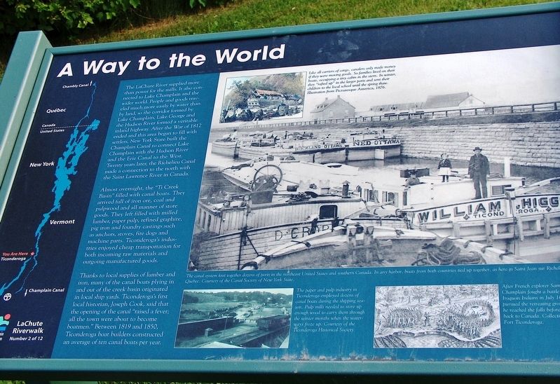
The La Chute River supplied more than power for the mills. It also connected to Lake Champlain and the wider world. People and goods traveled much more easily by water than by land, so the corridor formed by Lake Champlain, Lake George and the Hudson River formed a veritable inland highway. After the War of 1812 ended and this area began to fill with settlers, New York State built the Champlain Canal to connect Lake Champlain with the Hudson River and the Erie Canal to the West. Twenty years later, the Richelieu Canal made a connection to the north with the Saint Lawrence River in Canada.
Almost overnight, the “Ti Creek Basin” filled with canal boats. They arrived full of iron ore, coal and pulpwood and all manner of store goods. They left filled with milled lumber, paper pulp, refined graphite, pig iron and foundry castings such as anchors, stoves, fire dogs and machine parts. Ticonderoga's industries enjoyed cheap transportation for both incoming raw materials and outgoing manufactured goods.
Thanks to local supplies of lumber and iron, many of the canal boats plying in and out of the creek basin originated in local ship yards. Ticonderoga's first local historian, Joseph Cook, said that the opening of the canal “raised a fever; all the town were about to become boatmen.” Between 1819 and 1850, Ticonderoga boat builders constructed an average of ten canal boats per year.
- photograph captions -
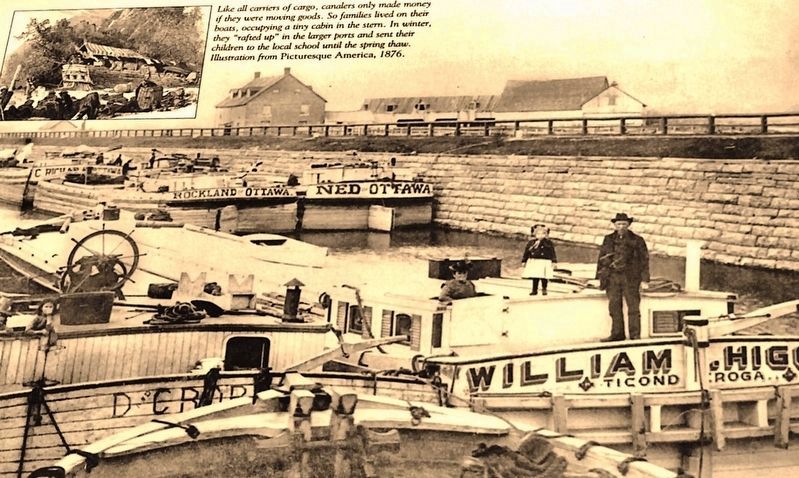
Like all carriers of cargo, canalers only made money if they were moving goods. So families lived on their boats, occupying a tiny cabin in the stern. In winter, they “rafted up” in the tar ports and sent their children to the local school until the spring thaw.
After French explorer Samuel de Champlain fought a battle with Iroguois Indians in July 1609 he pursued the retreating group until he reached the falls before returning to Canada.
The paper and pulp industry in Ticonderoga employed dozens of canal boats during the shipping season. Pulp mills needed to store up enough wood to carry them through the winter months when the waterways froze up.
Erected by La Chute Riverwalk Interpretive Trail. (Marker Number 2.)
Topics. This historical marker is listed in these topic lists: Industry & Commerce • Settlements & Settlers • Waterways & Vessels.
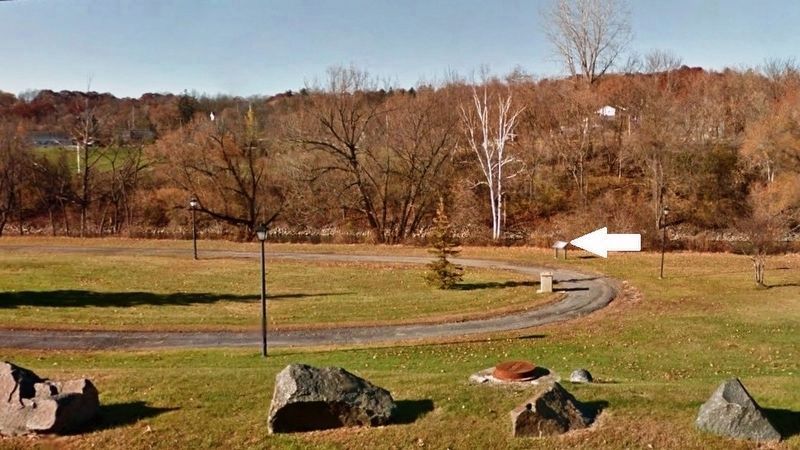
Location. 43° 50.979′ N, 73° 25.044′ W. Marker is in Ticonderoga, New York, in Essex County. Marker can be reached from Montcalm Street (State Highway 74) ¼ mile west of Mountain Road (State Highway 22), on the right when traveling west. Marker is located along

Courtesy of the Canal Society of New York State
2. Marker detail: Saint-Jean-sur-Richelieu, Quebec
The canal system knit together dozens of ports in the northeast United States and southern Canada. In any harbor, boats from both countries tied up together, as here in Saint-Jean-sur-Richelieu, Quebec.
Other nearby markers. At least 8 other markers are within walking distance of this marker. Samuel De Champlain (about 500 feet away, measured in a direct line); Sharing the Flow (about 600 feet away); The Power of Water (about 800 feet away); Carillon Bridge (approx. 0.2 miles away); Gen. Henry Knox Trail (approx. 0.2 miles away); 1756 French Saw Mill on La Chute River (approx. 0.2 miles away); a different marker also named Carillon Bridge (approx. 0.2 miles away); Original Carillon Bridge (approx. 0.2 miles away). Touch for a list and map of all markers in Ticonderoga.
More about this marker. This marker is a large composite plaque mounted horizontally on waist-high posts.
Related markers. Click here for a list of markers that are related to this marker. La Chute Riverwalk, Ticonderoga Bicentennial Park
Also see . . . Champlain Canal. Wikipedia entry (Submitted on March 17, 2023, by Larry Gertner of New York, New York.)
Credits. This page was last revised on March 17, 2023. It was originally submitted on October 20, 2018, by Cosmos Mariner of Cape Canaveral, Florida. This page has been viewed 199 times since then and 10 times this year. Photos: 1, 2, 3. submitted on October 20, 2018, by Cosmos Mariner of Cape Canaveral, Florida. • Andrew Ruppenstein was the editor who published this page.

