Centro Histórico in Ciudad de México, Mexico — The Valley of Mexico (The Central Highlands)
High Water Mark of 1629
Ciudad de México
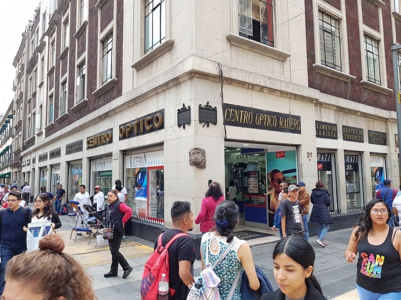
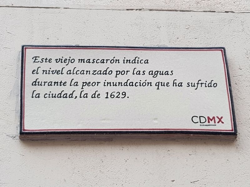
This old stone figure of a face indicates the high water mark of the worst flooding that the city has had, that of 1629.
Mexico City
Erected by Ciudad de México.
Topics. This historical marker is listed in these topic lists: Colonial Era • Disasters. A significant historical year for this entry is 1629.
Location. 19° 26.011′ N, 99° 8.241′ W. Marker is in Ciudad de México. It is in Centro Histórico. Marker is at the intersection of Calle de Motolinia and Avenida Francisco I. Madero, on the right when traveling south on Calle de Motolinia. Touch for map. Marker is in this post office area: Ciudad de México 06000, Mexico. Touch for directions.
Other nearby markers. At least 8 other markers are within walking distance of this marker. House of the Marquis de Prado Alegre (a few steps from this marker); House of José de Borda (within shouting distance of this marker); American Photo Supply (within shouting distance of this marker); Temple of the Professed or San José del Real (within shouting distance of this marker); José de la Borda (about 90 meters away, measured in a direct line); Dulcería de Celaya (about 90 meters away); House of José de la Borda (about 90 meters away); Calle de Motolinia (about 120 meters away). Touch for a list and map of all markers in Ciudad de México.

Photographed By J. Makali Bruton, October 10, 2018
2. High Water Mark of 1629 Marker
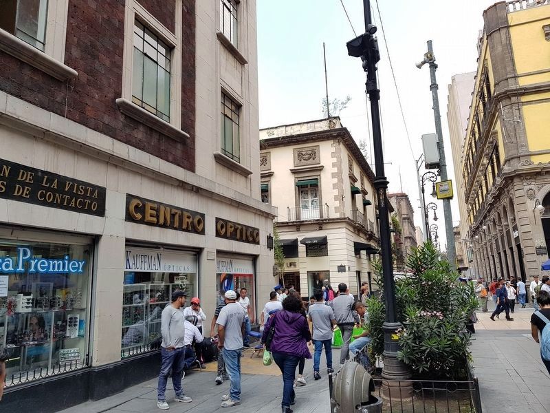
The marker is on the left side of this building, below and between the words "Centro Optico". The 'old stone figure' mentioned in the marker text can be seen on the building's corner. Another person is taking a photo of it from a closer position.
Credits. This page was last revised on April 17, 2020. It was originally submitted on October 22, 2018, by J. Makali Bruton of Accra, Ghana. This page has been viewed 163 times since then and 27 times this year. Photos: 1, 2, 3. submitted on October 22, 2018, by J. Makali Bruton of Accra, Ghana.

