Centro Histórico in Ciudad de México, Mexico — The Valley of Mexico (The Central Highlands)
Calle de Motolinia
Ciudad de México
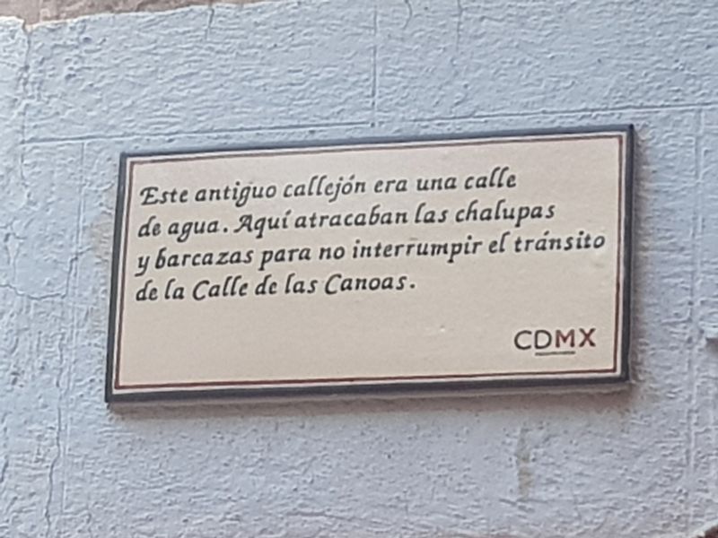
This ancient alleyway was once a waterway. Small boats and barges used this passage in order to not interrupt the traffic on the Calle de las Canoas (Canoe Street, now 16 de Septiembre)
Mexico City
Erected by Ciudad de México.
Topics. This historical marker is listed in these topic lists: Colonial Era • Roads & Vehicles • Waterways & Vessels.
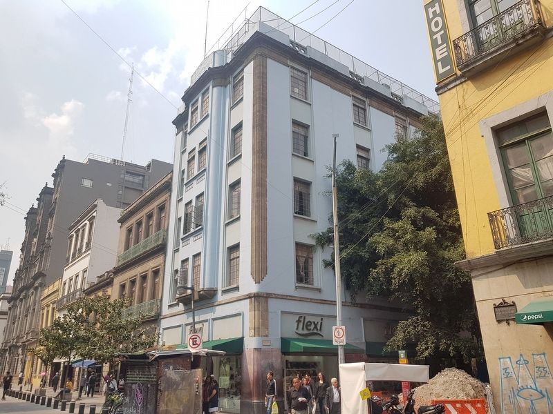
Location. 19° 25.946′ N, 99° 8.251′ W. Marker is in Ciudad de México. It is in Centro Histórico. Marker is at the intersection of Calle de Motolinia and 16 de Septiembre, on the right when traveling south on Calle de Motolinia. Touch for map. Marker is in this post office area: Ciudad de México 06000, Mexico. Touch for directions.
Other nearby markers. At least 8 other markers are within walking distance of this marker. Portal del Coliseo (a few steps from this marker); House of José y Francisco Fagoaga y Villaurruña (within shouting distance of this marker); Manuel Murgías Bookstore (within shouting distance of this marker); La Casa Boker (about 90 meters away, measured in a direct line); Hotel de la Gran Sociedad (about 90 meters away); Factor Antonio de la Cadena (about 120 meters away); Teatro Colón (about 120 meters away); High Water Mark of 1629 (about 120 meters away). Touch for a list and map of all markers in Ciudad de México.
Regarding Calle de Motolinia. The Aztec capital, Tenochtitlan, was founded on a lake, so many of the 'streets' were originally waterways for canoes and other small boats. Most of these waterways have now been filled in to form streets, but in some neighborhoods of Mexico City, particularly Xochimilco, it is still possible to see remnants of the ancient waterways.
Credits. This page was last revised on April 17, 2020. It was originally submitted on October 22, 2018, by J. Makali Bruton of Accra, Ghana. This page has been viewed 133 times since then and 15 times this year. Photos: 1, 2. submitted on October 22, 2018, by J. Makali Bruton of Accra, Ghana.

