Yoakum in Lavaca County, Texas — The American South (West South Central)
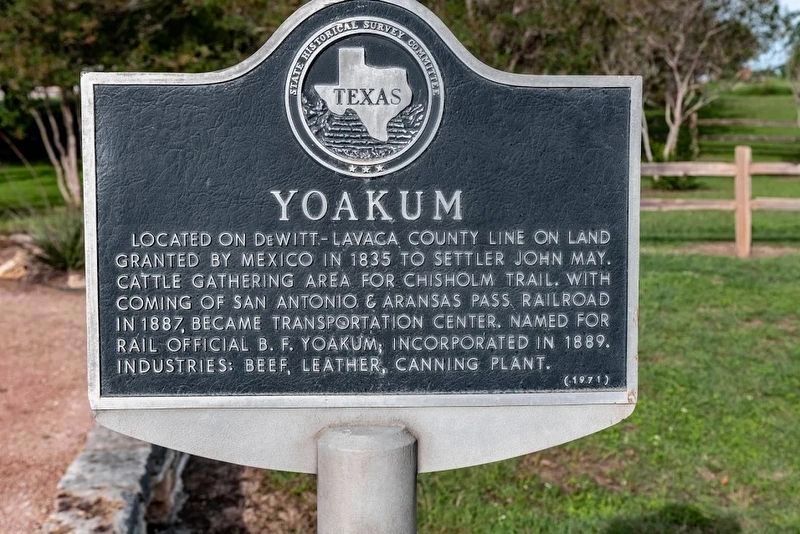
Yoakum
Erected 1971 by Texas Historical Commission. (Marker Number 5926.)
Topics. This historical marker is listed in these topic lists: Industry & Commerce • Settlements & Settlers.
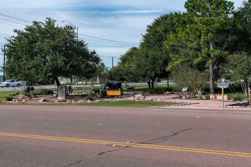
Location. 29° 17.952′ N, 97° 9.457′ W. Marker is in Yoakum, Texas, in Lavaca County. Marker is at the intersection of U.S. 77 Alt and Ellen May Road, on the right when traveling north on U.S. 77 Alt. Touch for map. Marker is in this post office area: Yoakum TX 77995, United States of America. Touch for directions.
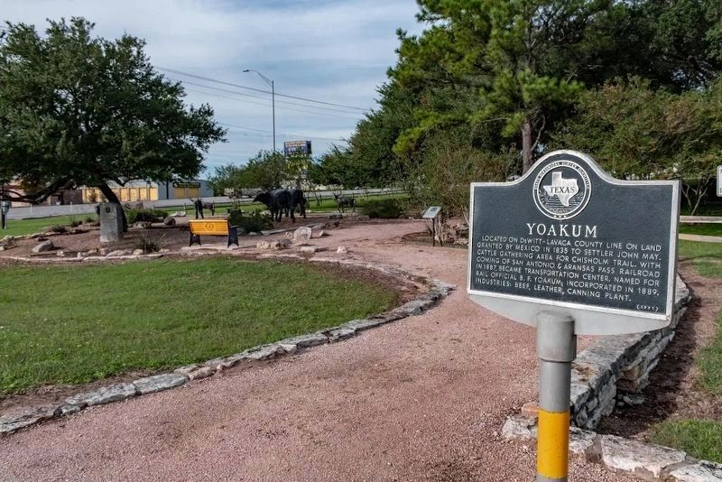
Other nearby markers. At least 8 other markers are within 4 miles of this marker, measured as the crow flies. Chisholm Trail Memorial Park (a few steps from this marker); The Trail Drivers of Southwest Texas (a few steps from this marker); Yoakum National Bank (approx. 0.7 miles away); Municipal Power Plant (approx. one mile away); Asberry School (approx. 1˝ miles away); First Methodist Church of Yoakum (approx. 1.6 miles away); St. Joseph Catholic Cemetery (approx. 1.7 miles away); von Hugo - von Clausewitz Family Cemetery (approx. 4.1 miles away). Touch for a list and map of all markers in Yoakum.
Also see . . .
1. Welcome to Yoakum, Texas. (Submitted on October 26, 2018, by Michael Herrick of Southbury, Connecticut.)
2. Yoakum, Texas on Wikipedia. (Submitted on October 26, 2018, by Michael Herrick of Southbury, Connecticut.)
Credits. This page was last revised on April 25, 2019. It was originally submitted on October 26, 2018, by Michael Herrick of Southbury, Connecticut. This page has been viewed 417 times since then and 33 times this year. Photos: 1, 2, 3. submitted on October 26, 2018, by Michael Herrick of Southbury, Connecticut.


