Chama in Rio Arriba County, New Mexico — The American Mountains (Southwest)
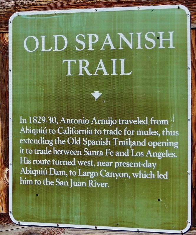
Old Spanish Trail
Erected by State of New Mexico.
Topics. This historical marker is listed in these topic lists: Exploration • Industry & Commerce • Roads & Vehicles. A significant historical year for this entry is 1829.
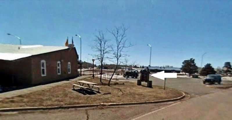
Location. 36° 53.007′ N, 106° 35.103′ W. Marker is in Chama, New Mexico, in Rio Arriba County. Marker is at the intersection of State Highway 17 and U.S. 64, on the right when traveling south on State Highway 17. Marker is located in front of the Northern New Mexico Welcome Center. Touch for map. Marker is at or near this postal address: 2321 New Mexico Highway 17, Chama NM 87520, United States of America. Touch for directions.
Other nearby markers. At least 8 other markers are within 12 miles of this marker, measured as the crow flies. Chama (approx. 1.4 miles away); 1881 Log Bunkhouse (approx. 1½ miles away); a different marker also named Chama (approx. 1.8 miles away); Continental Divide (approx. 8.2 miles away); Cumbres Pass (approx. 9 miles away); Fort Lowell (approx. 11.3 miles away); Tierra Amarilla (approx. 12 miles away); a different marker also named Cumbres Pass (approx. 12 miles away in Colorado). Touch for a list and map of all markers in Chama.
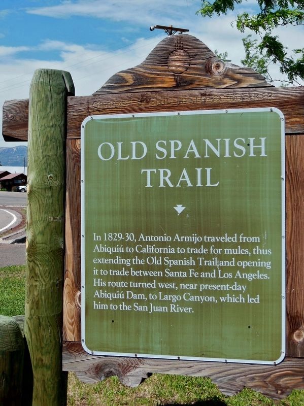
More about this marker. This is a large, painted metal "billboard-style" style marker mounted in a heavy wooden timber frame.
Also see . . .
1. Antonio Armijo Pioneered trade along the Old Spanish Trail. There was money to be made in transporting New Mexico serapes and other woolen goods to Los Angeles, and in wrangling California-bred horses and mules back to Santa Fe. But a viable overland route across the remote deserts and mountains of Mexico’s far northern frontier had to be found. It took the vision and courage of Mexican trader Antonio Armijo to lead the first commercial caravan from Abiquiú, New Mexico, to Los Angeles late in 1829. (Submitted on October 28, 2018, by Cosmos Mariner of Cape Canaveral, Florida.)
2. Antonio Armijo Trail. (This link presents a map of the trail route.) Antonio Armijo was a Spanish Mexican explorer and merchant who in 1829 and 1830 led an expedition to find a trade route between New Mexico and Los Angeles. This
was the first trading expedition between New Mexico and Los Angeles. It was so successful that annual expeditions were made thereafter until 1848. (Submitted on October 28, 2018, by Cosmos Mariner of Cape Canaveral, Florida.)
3. Antonio Armijo. Abiquiú was the starting point and eastern terminus of the original route of the Old Spanish Trail. Though segments of an overland route between the Spanish colonies of Nuevo México and Alta California had been blazed decades earlier, Armijo was the first to pioneer a complete route that traveled the entire length. Armijo traveled with sixty mounted men and a caravan of pack animals carrying blankets and other trade goods to barter for mules in California. (Submitted on October 28, 2018, by Cosmos Mariner of Cape Canaveral, Florida.)
Credits. This page was last revised on November 1, 2018. It was originally submitted on October 26, 2018, by Cosmos Mariner of Cape Canaveral, Florida. This page has been viewed 313 times since then and 22 times this year. Photos: 1, 2, 3. submitted on October 28, 2018, by Cosmos Mariner of Cape Canaveral, Florida. • Andrew Ruppenstein was the editor who published this page.


