Summit Hill in Carbon County, Pennsylvania — The American Northeast (Mid-Atlantic)
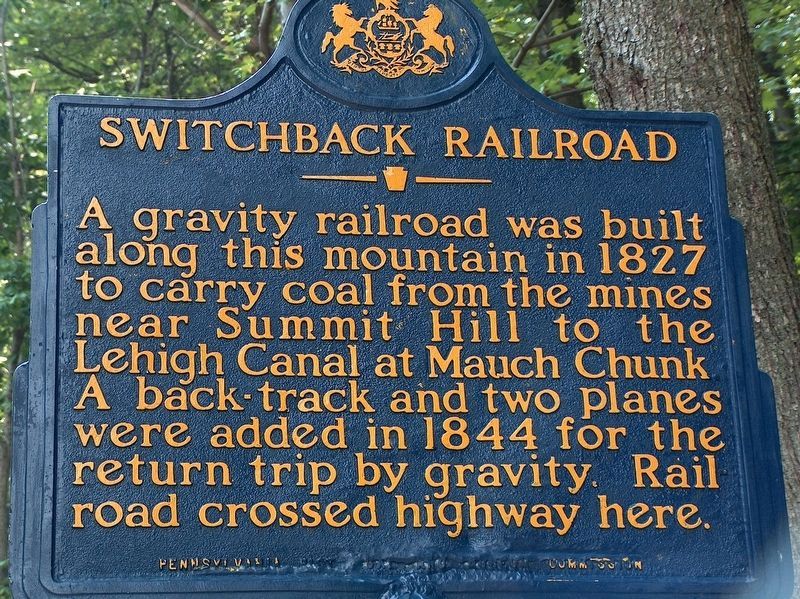
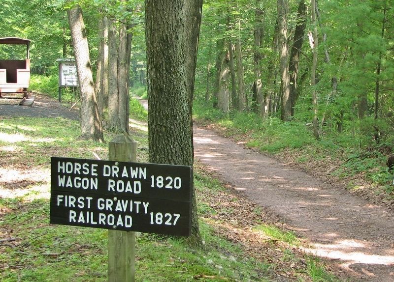
Switchback Railroad
Erected 1971 by Pennsylvania Historical & Museum Commission.
Topics and series. This historical marker is listed in these topic lists: Industry & Commerce • Railroads & Streetcars. In addition, it is included in the Lehigh Canal, and the Pennsylvania Historical and Museum Commission series lists. A significant historical year for this entry is 1827.
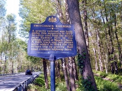
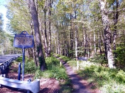
Location. 40° 50.628′ N, 75° 48.37′ W. Marker is in Summit Hill, Pennsylvania, in Carbon County. Marker is on East White Bear Drive (SR 3012). Touch for map. Marker is in this post office area: Summit Hill PA 18250, United States of America. Touch for directions.
Other nearby markers. At least 8 other markers are within 4 miles of this marker, measured as the crow flies. Five Mile Tree Crossover (approx. 0.9 miles away); Molly Maguire Executions (approx. 3.4 miles away); Backtrack Trestle (approx. 3˝ miles away); This House (1844 A.D.) (approx. 3.6 miles away); Old Presbyterian Cemetery (approx. 3.6 miles away); Exploring The Corridor (approx. 3.6 miles away); Lehigh Gorge State Park (approx. 3.6 miles away); Romance in the Woods (approx. 3.6 miles away). Touch for a list and map of all markers in Summit Hill.
Related markers. Click here for a list of markers that are related to this marker. Mauch Chunk Switchback Railroad
Also see . . . MarkerQuest - Switchback Railroad. Further information about the history of the Switchback Railroad. (Submitted on October 21, 2020, by Laura Klotz of Northampton, Pennsylvania.)
Credits. This page was last revised on November 9, 2020. It was originally submitted on August 8, 2015, by Don Morfe of Baltimore, Maryland. This page has been viewed 358 times since then and 12 times this year. Last updated on October 29, 2018, by Cosmos Mariner of Cape Canaveral, Florida. Photos: 1. submitted on October 29, 2018, by Cosmos Mariner of Cape Canaveral, Florida. 2, 3. submitted on August 8, 2015, by Don Morfe of Baltimore, Maryland. 4, 5. submitted on October 29, 2018, by Cosmos Mariner of Cape Canaveral, Florida. • Andrew Ruppenstein was the editor who published this page.
