Centro Histórico in Ciudad de México, Mexico — The Valley of Mexico (The Central Highlands)
The Basin of Mexico
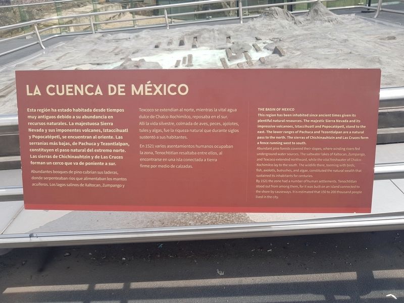
La Cuenca de México
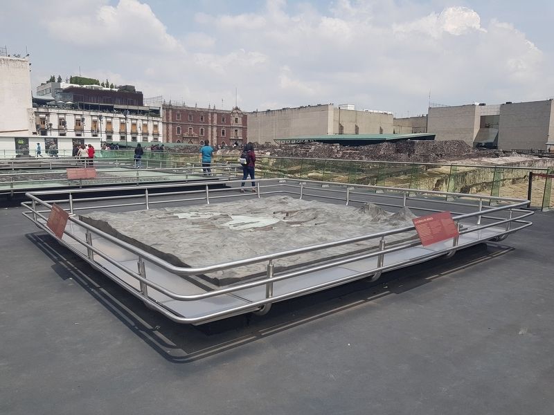
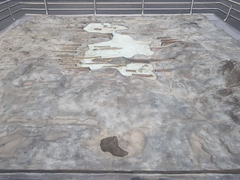
Esta región ha estado habitada desde tiempos muy antiguos debido a su abundancia en recursos naturales. La majestuosa Sierra Nevada y sus imponentes volcanes, Iztaccíhuatl y Popocatépetl, se encuentran al oriente. Las serranías más bajas, de Pachuca y Tezontlalpan, constituyen el paso natural del extremo norte. Las sierras de Chichinauhtzin y de Las Cruces forman un cerco que va de poniente a sur.
Abundantes bosques de pino cubrían sus laderas, donde serpenteaban ríos que alimentaban los mantos acuíferos. Los lagos salinos de Xaltocan, Zumpango y Texcoco se extendían al norte, mientras la vital agua dulce de Chalco-Xochimilco, reposaba en el sur. Allí la vida silvestre, colmada de aves, peces, ajolotes, tules y algas, fue la riqueza natural que durante siglos sustentó a sus habitantes.
En 1521 varios asentamientos humanos ocupaban la zona, Tenochtitlan resaltaba entre ellos, al encontrarse en una isla conectada a tierra firme por medio de calzadas.
The Basin of Mexico
This region has been inhabited since ancient times given its plentiful natural resources. The majestic Sierra Nevada and its impressive volcanoes, Iztaccihuatl and Popocatépetl, stand to the east. The lower ranges of Pachuca and Tezontlalpan are a natural pass to the north. The sierras of Chichinauhtzin and Las Cruces form a fence running west to south.
Abundant pine forests covered their slopes, where winding rivers fed underground water sources. The saltwater lakes of Xaltocan, Zumpango, and Texcoco extended northward, while the vital freshwater of Chalco-Xochimilco lay to the south. The wildlife there, teeming with birds, fish, axolotls, bulrushes, and algae, constituted the natural wealth that sustained its inhabitants for centuries.
By 1521 the zone had a number of human settlements. Tenochtitlan stood out from among them, for it was built on an island connected to the shore by causeways. It is estimated that 150 to 200 thousand people lived in the city.
Topics. This historical marker is listed in these topic lists: Colonial Era • Environment • Settlements & Settlers. A significant historical year for this entry is 1521.
Location. 19° 26.071′ N, 99° 7.926′ W. Marker is in Ciudad de México. It is in Centro Histórico. Marker is on Unnamed street just south of República de Guatemala, on the right when traveling north. The marker is on an unnamed pedestrian walkway which connects
the Zócalo with República de Guatemala. Touch for map. Marker is in this post office area: Ciudad de México 06000, Mexico. Touch for directions.
Other nearby markers. At least 8 other markers are within walking distance of this marker. Plaza in Front of the Templo Mayor (a few steps from this marker); The Mexica People (a few steps from this marker); The City of Tenochtitlan (a few steps from this marker); The Templo Mayor and its Seven Construction Stages (a few steps from this marker); What is the Templo Mayor made of? (a few steps from this marker); The Sacred Precinct of Mexico-Tenochtitlan (within shouting distance of this marker); The Cuauhxicalco, Place of the Eagle Vessel (within shouting distance of this marker); The Sacred Tree (within shouting distance of this marker). Touch for a list and map of all markers in Ciudad de México.
Credits. This page was last revised on April 17, 2020. It was originally submitted on October 31, 2018, by J. Makali Bruton of Accra, Ghana. This page has been viewed 147 times since then and 11 times this year. Photos: 1, 2, 3. submitted on October 31, 2018, by J. Makali Bruton of Accra, Ghana.


