Terra Ceia in Manatee County, Florida — The American South (South Atlantic)
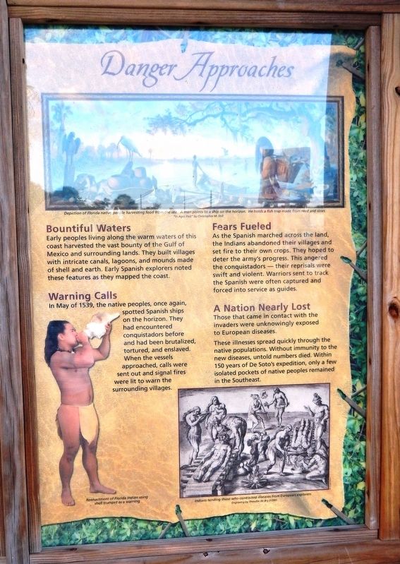
Danger Approaches
Florida De Soto Trail
— 1539-1540 —
Bountiful Waters
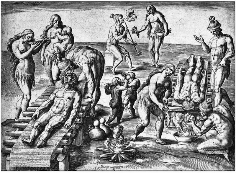
Early peoples living along the warm waters of this coast harvested the vast bounty of the Gulf of Mexico and surrounding lands. They built villages with intricate canals, lagoons, and mounds made of shell and earth. Early Spanish explorers noted these features as they mapped the coast.
Warning Calls
In May of 1539, the native peoples, once again, spotted Spanish ships on the horizon. They had encountered conquistadors before and had been brutalized, tortured, and enslaved. When the vessels approached, calls were sent out and signal fires were lit to warn the surrounding villages.
Fears Fueled
As the Spanish marched across the land, the Indians abandoned their villages and set fire to their own crops. They hoped to deter the army’s progress. This angered the conquistadors — their reprisals were swift and violent. Warriors sent to track the Spanish were often captured and forced into service as guides.
A Nation Nearly Lost
Those that came in contact with the invaders were unknowingly exposed to European diseases.
These illnesses spread quickly through the native populations. Without immunity to the new diseases, untold numbers died. Within 150 years of De Soto’s expedition, only a few isolated pockets of native peoples remained in the Southeast.
Erected by Florida De Soto Trail, Florida Department of Transportation, the Florida Park Service, and the National Park Service. (Marker Number 2b.)
Topics. This historical marker is listed in these topic lists: Colonial Era • Exploration • Native Americans. A significant historical month for this entry is May 1539.
Location. 27° 35.108′ N, 82° 36.902′ W. Marker is in Terra Ceia, Florida, in Manatee County. Marker can be reached from Interstate 275, 2½ miles north of Terra Ceia Road, on the right when traveling north. Marker is located at the Tampa Bay Sunshine Skyway Bridge South Fishing Pier. This fishing pier & rest stop is accessible from both the northbound and southbound lanes of I-275. The marker is at the northeast corner of the Manatee County Rest Area parking lot, on the east side of I-275. Touch for map. Marker is in this post office area: Terra Ceia FL 34250, United States of America. Touch for directions.
Other nearby markers. At least 8 other markers are within 4 miles of this marker, measured as the crow flies. Realizing a Dream (here, next to this marker); Florida Honors and Remembers our POW’s and MIA’s (within shouting distance of this marker); Guerrero Home Site (approx. 1.8 miles away); Madira Bickel Mound State Archaeological Site (approx. 1.9 miles away); Terra Ceia School/Village Improvement Association Hall
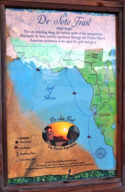
Photographed By Cosmos Mariner, October 31, 2018
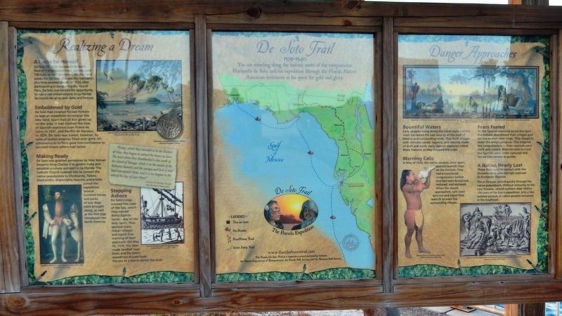
2. De Soto Trail Map (panel to the left of marker in kiosk)
1539-1540
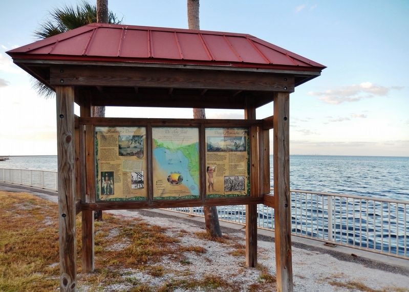
More about this marker. Marker is a large, composite plaque mounted vertically within a heavy-duty wooden kiosk. This marker is the rightmost panel of a three-panel kiosk.
Regarding Danger Approaches. Hernando de Soto landed at Tampa Bay in 1539 and made his way north in search of gold and riches. A controversial figure in American history, Spanish Conquistador Hernando de Soto is regarded as a hero and brave explorer by some — and an overzealous madman by others. The De Soto Trail shows him as a product of Medieval Europe, a brutal society forged over 780 years of warfare. It also tells the story of the Native American peoples of 16th-century Florida, a highly advanced collection of chiefdoms struggling against each other to gain dominance over their regions.
Related markers. Click here for a list of markers that are related to this marker. Florida De Soto Trail
Also see . . .
De Soto’s Expedition to North America. In 1536, de Soto obtained a royal commission to conquer and settle the region known as La Florida (now the southeastern United States), which had been the site of earlier explorations by Juan Ponce de León and others. De Soto set out from Spain in April 1538, set with 10 ships and 700 men. After a stop in Cuba, the expedition landed at Tampa Bay in May 1539. They moved inland and eventually set up camp for the winter at a small Indian village near present-day Tallahassee. (Submitted on November 4, 2018, by Cosmos Mariner of Cape Canaveral, Florida.)
Credits. This page was last revised on March 5, 2024. It was originally submitted on November 3, 2018, by Cosmos Mariner of Cape Canaveral, Florida. This page has been viewed 295 times since then and 32 times this year. Last updated on November 21, 2018, by Cosmos Mariner of Cape Canaveral, Florida. Photos: 1. submitted on November 3, 2018, by Cosmos Mariner of Cape Canaveral, Florida. 2, 3, 4. submitted on November 4, 2018, by Cosmos Mariner of Cape Canaveral, Florida. 5. submitted on November 5, 2018, by Cosmos Mariner of Cape Canaveral, Florida. 6, 7. submitted on November 4, 2018, by Cosmos Mariner of Cape Canaveral, Florida. • Bernard Fisher was the editor who published this page.
