Bamburgh in Northumberland, England, United Kingdom — Northwestern Europe (the British Isles)
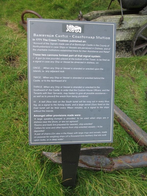
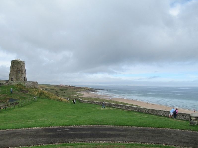
Bamburgh Castle Coastguard Station
“Account of the Signals made use of at Bamburgh Castle in the County of Northumberland in case Ships or Vessels are perceived in Distress, and of the charitable Institutions established there for their Assistance and Relief”.
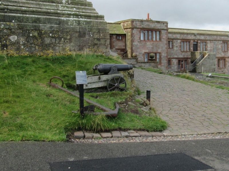
These two cannons formed part of that signal system:
I. A gun (a nine pounder) placed at the bottom of the Tower, to be fired as a signal in case any Ship or Vessel be observed in distress, viz.
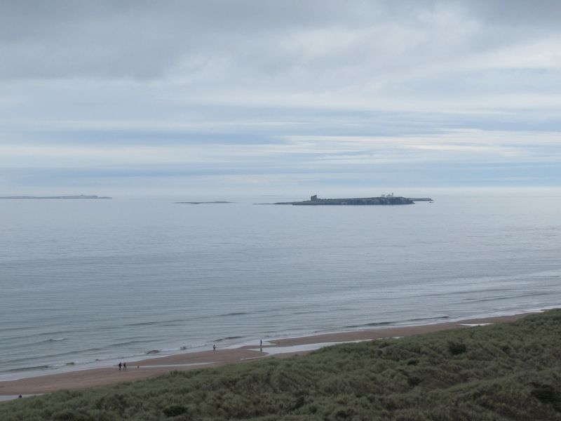
Once, When any Ship or Vessel is stranded or wrecked upon the Islands, or any adjacent rock.
Twice, When any Ship or Vessel is stranded or wrecked behind the Castle, or to the Northward of it.
Thrice, When any Ship or Vessel is stranded or wrecked to the Southward of the Castle; in order that the Custom-House Officers, and the Tenants with their Servants, may hasten to give all possible assistance — as well as to prevent the wreck from being plundered.
IV. A bell (Now lost) on the South turret will be rung out in every thick fog, as a signal to the fishing boats; and a large swivel (Gun) fixed on the East turret will be fired every fifteen minutes, as a signal to the ships without the Islands.
Amongst other provisions made were:
‘A large speaking trumpet is provided, to be used when ships are in distress near the shore, or are run aground’.
‘Rooms and beds are prepared for seamen, ship-wrecked’.
‘Cellars for wine and other liquors from ship-wrecked vessels — to be deposited’.
‘A pair of chains (On view in the Keep) with large rings and swivels, made on purpose for weighing ships (of a thousand tons berthen) that are sunk upon rocks, or in deep water’.
Topics. This historical marker is listed in these topic lists: Forts and Castles • Waterways & Vessels. A significant historical year for this entry is 1771.
Location. 55° 36.552′ N, 1° 42.639′ W. Marker is in Bamburgh, England, in Northumberland. Marker can be reached from the intersection of Links Road and Front Street, on the right when traveling north. Located at Bamburgh Castle. Touch for map. Marker is in this post office area: Bamburgh, England NE69 7DF, United Kingdom. Touch for directions.
Other nearby markers. At least 8 other markers are within walking distance of this marker. Stocks (a few steps from this marker); Northumbria’s Royal Throne (a few steps from this marker); 24 Pounder Cannons (within shouting distance of this marker); 32 Pounder Cannon (within shouting distance of this marker); 19th Century Iron Mortar (within shouting distance of this marker); Mid-Tower Room (within shouting distance of this marker); Chapel of St. Peter (within shouting distance of this marker); The Armada Gun (about 90 meters away, measured in a direct line). Touch for a list and map of all markers in Bamburgh.
Also see . . .
1. Bamburgh Castle Northumberland. (Submitted on November 5, 2018, by Michael Herrick of Southbury, Connecticut.)
2. Bamburgh Castle on Wikipedia. (Submitted on November 5, 2018, by Michael Herrick of Southbury, Connecticut.)
Credits. This page was last revised on January 27, 2022. It was originally submitted on November 5, 2018, by Michael Herrick of Southbury, Connecticut. This page has been viewed 137 times since then and 16 times this year. Photos: 1, 2, 3, 4. submitted on November 5, 2018, by Michael Herrick of Southbury, Connecticut.


