Marker Logo HMdb.org THE HISTORICAL
MARKER DATABASE
“Bite-Size Bits of Local, National, and Global History”
Charles Town in Jefferson County, West Virginia — The American South (Appalachia)
 

John Brown Scaffold


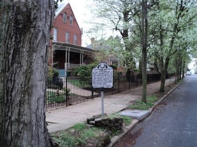
John Brown Scaffold Marker image. Click for full size.
Photographed By Beverly Pfingsten, September 27, 2008
1. John Brown Scaffold Marker
Inscription. Within these grounds a short distance east of this marker is the site of the scaffold on which John Brown, leader of the Harpers Ferry raid, was executed December the Second, 1859.
 
Erected 1932 by Jefferson County Historical Society of West Virginia.
 
Topics. This historical marker is listed in these topic lists: Abolition & Underground RRLaw Enforcement. A significant historical year for this entry is 1859.
 
Location. 39° 17.147′ N, 77° 51.388′ W. Marker is in Charles Town, West Virginia, in Jefferson County. Marker is at the intersection of S. Samuel Street and Hunter Street, on the left when traveling south on S. Samuel Street. Touch for map. Marker is in this post office area: Charles Town WV 25414, United States of America. Touch for directions.
 
Other nearby markers. At least 8 other markers are within walking distance of this marker. John Brown Hanging Site (here, next to this marker); Site of the Execution of John Brown (within shouting distance of this marker); Samuel Washington House (approx. 0.2 miles away); George Upshur Manning (approx. 0.2 miles away); George Washington Turner (approx. 0.2 miles away); Sergeant Littleton Tazewell Cordell (approx. 0.2 miles away); Happy Retreat (approx. ¼ mile away); Etter Hall (approx. ¼ mile away). Touch for a list and map of all markers in Charles Town.
 
Paid Advertisement
Click on the ad for more information.
Please report objectionable advertising to the Editor.
Click or scan to see
this page online
Marker on Samuel Street image. Click for full size.
Photographed By Bill Coughlin, April 12, 2011
2. Marker on Samuel Street
The Victorian house seen here behind the marker was built by militia commander Col. John T. Gibson. His men stood guard over John Brown to prevent any attempt to liberate him.
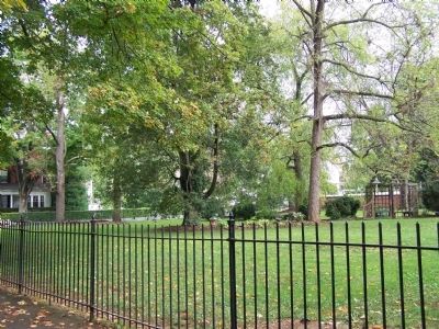
Lot where John Brown was hanged. image. Click for full size.
Photographed By Beverly Pfingsten, September 27, 2008
3. Lot where John Brown was hanged.
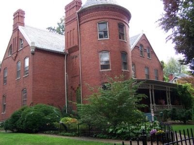
Gibson-Todd House image. Click for full size.
Photographed By Beverly Pfingsten, September 27, 2008
4. Gibson-Todd House
Built in 1892 by Col John Thomas Gibson, encompasses the site of John Brown's execution.
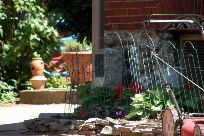
John Brown Scaffold site image. Click for full size.
Photographed By Larry Gertner, May 9, 2017
5. John Brown Scaffold site
On the far left side of the house (just out of view in the previous photo) is a marker on the actual site.
 
 
Credits. This page was last revised on April 26, 2020. It was originally submitted on October 17, 2008, by Bill Pfingsten of Bel Air, Maryland. This page has been viewed 3,643 times since then and 76 times this year. Photos:   1. submitted on October 17, 2008, by Bill Pfingsten of Bel Air, Maryland.   2. submitted on April 13, 2011, by Bill Coughlin of Woodland Park, New Jersey.   3, 4. submitted on October 17, 2008, by Bill Pfingsten of Bel Air, Maryland.   5. submitted on April 25, 2020, by Larry Gertner of New York, New York.

Share this page.  
Share on Tumblr
m=12603

CeraNet Cloud Computing sponsors the Historical Marker Database.
This website earns income from purchases you make after using our links to Amazon.com. We appreciate your support.
Paid Advertisement
Apr. 25, 2024