Meatpacking District in Manhattan in New York County, New York — The American Northeast (Mid-Atlantic)
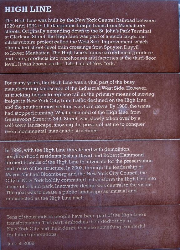
High Line
For many years, the High Line was a vital part of the busy manufacturing landscape of the industrial West Side. However, as trucking began to replace rail as the primary means of moving freight in New York City, train traffic declined on the High Line, and the southernmost section was torn down. By 1980, the trains had stopped running. What remained of the High line, from Gansevoort Street to 34th Street, was slowly taken over by a self-sown landscape, showing the power of nature to conquer even monumental, man-made structures.
In 1999, with the High Line threatened with demolition, neighborhood residents Joshua David and Robert Hammond formed Friends of the High Line to advocate for the preservation and reuse of the structure. In 2002, through the leadership of Mayor Michael Bloomberg and the New York City Council, the City of New York boldly committed to transform the High Line into a one-of-a-kind park. Innovative design was central to the vision. The goal was to create a public landscape as unusual and unexpected as the High Line itself.
Tens of thousands of people have been part of the High Line's transformation. This park embodies their dedication to New York City and their desire to make something wonderful for future generations.
Erected 2009.
Topics. This historical marker is listed in these topic lists: Parks & Recreational Areas • Railroads & Streetcars. A significant historical year for this entry is 1929.
Location. 40° 44.51′ N, 74° 0.469′ W. Marker is in Manhattan, New York, in New York County. It is in the Meatpacking District. Marker can be reached from West 14th Street east of 10th Avenue. Touch for map. Marker is in this post office area: New York NY 10014, United States of America. Touch for directions.
Other nearby markers. At least 8 other markers are within walking distance of this marker. Disaster at Sea (about 500 feet away, measured in a direct line); The Unsinkable Ship (about 500 feet away); The Changing Shoreline (about 600 feet away); James Baldwin (approx. 0.2 miles away); Corporal John A. Seravalli Playground (approx. ¼ mile
away); Day’s End, 2014-21 (approx. ¼ mile away); Jane Street (approx. ¼ mile away); 82 Jane Street (approx. ¼ mile away). Touch for a list and map of all markers in Manhattan.
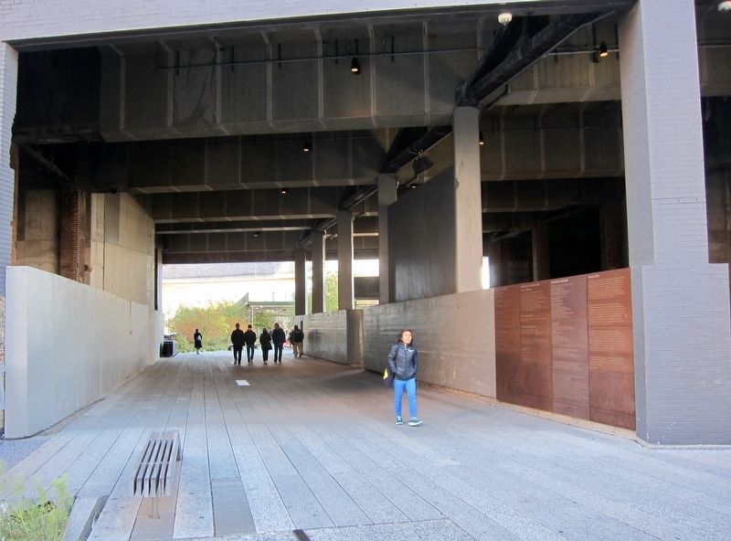
More about this marker. The marker is not at street-level - it is located in the High Line park, right where the path (as one heads north) emerges out above 14th Street.
Also see . . . High Line (Wikipedia). "The High Line is a 1.45-mile-long (2.33 km) elevated linear park, greenway and rail trail created on a former New York Central Railroad spur on the west side of Manhattan in New York City. The High Line’s design is a collaboration between James Corner Field Operations (Project Lead), Diller Scofidio + Renfro, and Piet Oudolf. The abandoned spur has been redesigned as a "living system" drawing from multiple disciplines which include landscape architecture, urban design, and ecology. Since opening in 2009, the High Line has become an icon of contemporary landscape architecture." (Submitted on November 9, 2018.)
Credits. This page was last revised on January 31, 2023. It was originally submitted on November 9, 2018, by Andrew Ruppenstein of Lamorinda, California. This page has been viewed 232 times since then and 43 times this year. Photos: 1, 2. submitted on November 9, 2018, by Andrew Ruppenstein of Lamorinda, California. 3, 4. submitted on June 3, 2022, by Craig Baker of Sylmar, California.


