Near Ione in Amador County, California — The American West (Pacific Coastal)
Lancha Plana
(No. 30 California Historical Landmark)
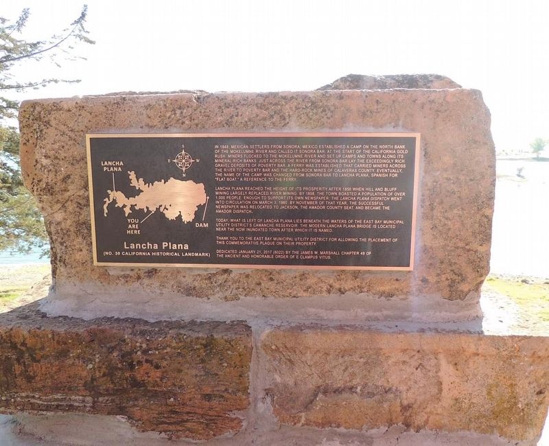
Lancha Plana reached the height of its prosperity after 1856 when hill and bluff mining largely replaced river mining. In 1858, the town boasted a population of over 1,000 people, enough to support it's own newspaper. The Lancha Plana Dispatch went into circulation on March 3, 1860. By November of that year, the successful newspaper was relocated to Jackson, the Amador County seat, and became the Amador County Dispatch.
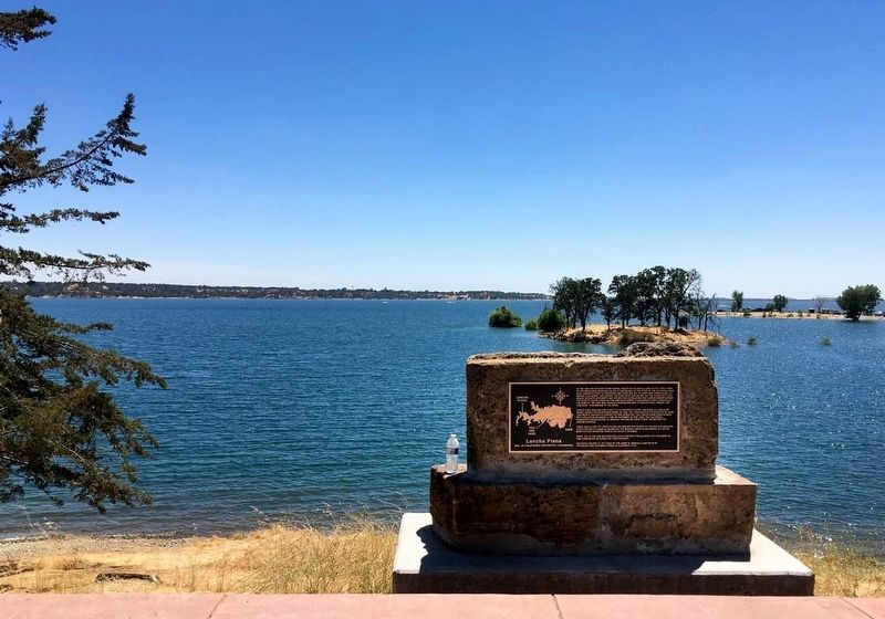
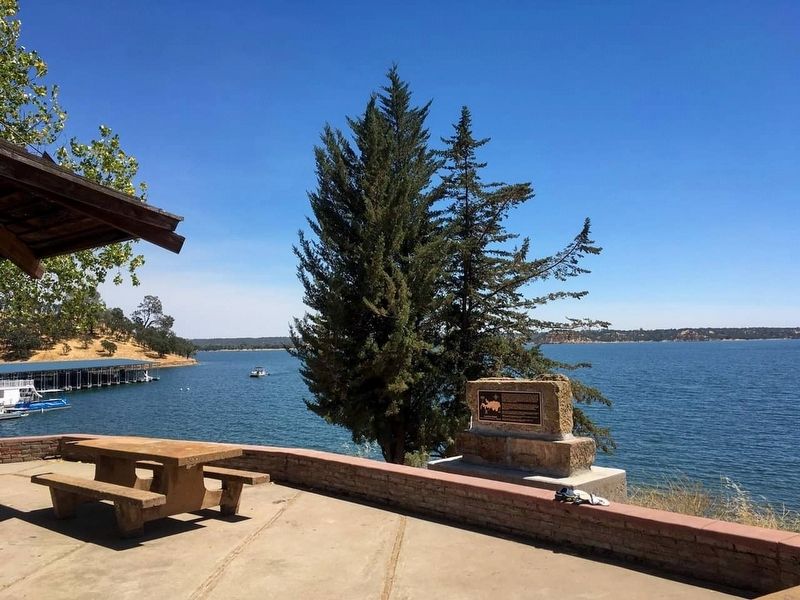
Today, what is left of Lancha Plana lays beneath the waters of the East Bay Municipal Utility District's Camanche Reservoir. The modern Lancha Plana Bridge is located near the now inundated town after which it is named.
Thank you to the East Bay Municipal Utility District for allowing the placement of this commemorative plaque on their property.
Dedicated January 21, 2017 (6022) by the James W. Marshall Chapter 49 of the Ancient and Honorable Order of E Clampus Vitus.
Erected 2017 by James W. Marshall Chapter 49 of the Ancient and Honorable Order of E Clampus Vitus. (Marker Number 30.)
Topics and series. This historical marker is listed in this topic list: Settlements & Settlers. In addition, it is included in the California Historical Landmarks, and the E Clampus Vitus series lists.
Location. 38° 14.108′ N, 120° 56.768′ W. Marker is near Ione, California, in Amador County. Marker can be reached from Camanche Road. The marker is located at the Camanche Marina parking lot. Touch for map. Marker is in this post office area: Ione CA 95640, United States of America. Touch for directions.
Other nearby markers. At least 8 other markers are within 8 miles of this marker, measured as the crow flies. Camanche (approx. 2.4 miles away); Buena Vista (approx. 4˝ miles away); Buena Vista Store (approx. 4˝ miles away); Campo Seco (approx. 5 miles away); Valley Spring (approx. 7 miles away); Ione's Annual Picnic (approx. 7.7 miles away); History of Clements Buckaroos (approx. 7.7 miles away); Ione High School (approx. 7.8 miles away). Touch for a list and map of all markers in Ione.
Credits. This page was last revised on November 11, 2018. It was originally submitted on November 10, 2018, by Frank Gunshow Sanchez of Hollister, California. This page has been viewed 483 times since then and 36 times this year. Photos: 1. submitted on November 10, 2018, by Frank Gunshow Sanchez of Hollister, California. 2, 3. submitted on November 10, 2018. • Syd Whittle was the editor who published this page.


