Near Belcamp in Harford County, Maryland — The American Northeast (Mid-Atlantic)
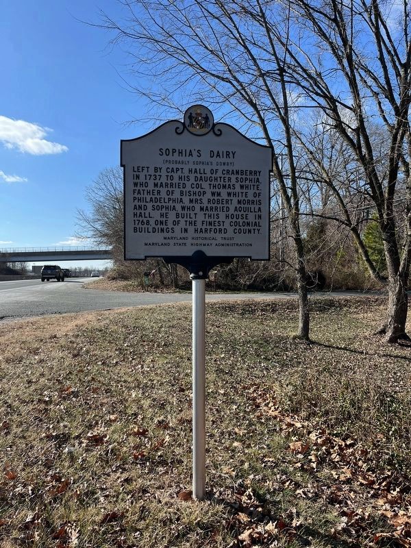
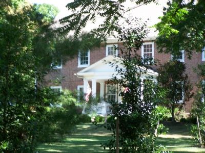
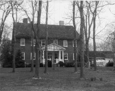
Sophia’s Dairy
(Probably Sophia’s Dowry)
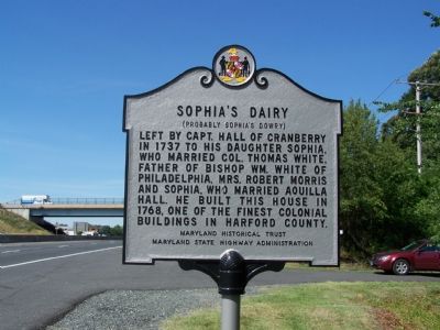
Photographed By William Pfingsten, June 24, 2007
1. Sophia’s Dairy Marker
National Register of Historic Places Nomination Form
NPGallery Digital Asset Management System
Click for more information.
NPGallery Digital Asset Management System
Click for more information.
Left by Captain Hall of Cranberry in 1737 to his daughter Sophia, who married Colonel Thomas White, father of Bishop William White of Philadelphia, Mrs. Robert Morris and Sophia, who married Aquilla Hall. He built this house in 1768, one of the finest colonial buildings in Harford County.
Erected by Maryland Historical Trust & Maryland State Highway Administration.
Topics and series. This historical marker is listed in these topic lists: Colonial Era • Women. In addition, it is included in the Maryland Historical Trust series list. A significant historical year for this entry is 1737.
Location. 39° 28.32′ N, 76° 13.971′ W. Marker is near Belcamp, Maryland, in Harford County. Marker is at the intersection of Pulaski Highway (U.S. 40) and Riverside Parkway, on the right when traveling south on Pulaski Highway. Touch for map. Marker is in this post office area: Belcamp MD 21017, United States of America. Touch for directions.
Other nearby markers. At least 8 other markers are within 3 miles of this marker, measured as the crow flies. Spesutia Church (approx. 1˝ miles away); "O! say can you see…" (approx. 1.7 miles away); Colony of Maryland (approx. 1.7 miles away); State of Maryland (approx. 1.8 miles away); This Tablet (approx. 1.8 miles away); "The Bush Declaration" (approx. 1.8 miles away); Harford Town (approx. 1.8 miles away); Cokesbury College (approx. 2˝ miles away).
Also see . . . Proudly Residing in Md.'s Past. 2006 article by Cassandra A. Fortin in the Baltimore Sun. (Submitted on February 26, 2014, by Allen C. Browne of Silver Spring, Maryland.)
Credits. This page was last revised on September 8, 2023. It was originally submitted on June 24, 2007, by Bill Pfingsten of Bel Air, Maryland. This page has been viewed 3,585 times since then and 83 times this year. Photos: 1. submitted on June 24, 2007, by Bill Pfingsten of Bel Air, Maryland. 2. submitted on December 25, 2022, by Adam Margolis of Mission Viejo, California. 3. submitted on June 24, 2007, by Bill Pfingsten of Bel Air, Maryland. 4. submitted on March 4, 2008, by Christopher Busta-Peck of Shaker Heights, Ohio. 5. submitted on February 26, 2014, by Allen C. Browne of Silver Spring, Maryland. • J. J. Prats was the editor who published this page.
