Tynemouth in Tyne and Wear, England, United Kingdom — Northwestern Europe (the British Isles)
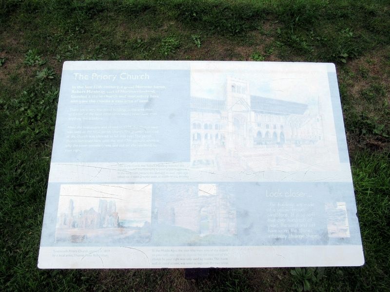
The Priory Church
— Tynemouth Priory and Castle —
In the 11th century, a great Norman baron, Robert Mowbray, earl of Northumbrian, founded a stone church and monastery here and gave the monks a vast area of land.
There were very few stone buildings in the area then and most of the inhabitants would never have seen anything like it before.
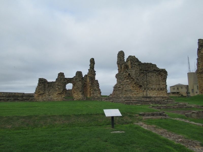
After the monastery was closed in 1539, the church nave was used as the local parish church. The grander east end of the church was allowed to fall into ruin. The parish church remained here until the mid-17th century, which is why the town cemetery was laid out on the headland, to your right.
Look closer …
The buildings are made of a yellow-brown sandstone. It is so soft that over hundreds of years the wind and salt have worn the stones into very strange shapes.
( photo captions )
The stone church that Robert Mowbray founded was actually smaller than the ruins in front of you suggest. In the early 13th century, the east-end, to your right was rebuilt on a much grander scale, as shown in this drawing.
Tynemouth Priory Church, painted in 1819 by a local artist, Thomas Miles Richardson.
In the Middle Ages, the nave (the main area of the church to your left) was open to anyone, but the east end of the church to your right was only used by monks. This stone wall, or rood screen, was used to separate the two areas.
Topics. This historical marker is listed in these topic lists: Churches & Religion • Forts and Castles. A significant historical year for this entry is 1539.
Location. 55° 1.047′ N, 1° 25.08′ W. Marker is in Tynemouth, England, in Tyne and Wear. Marker can be reached from the intersection of Front Street and Pier Road, on the right when traveling east. Located at Tynemouth Priory and Castle. Touch for map. Marker is in this post office area: Tynemouth, England NE30 4BZ, United Kingdom. Touch for directions.
Other nearby markers. At least 8 other markers are within walking distance of this marker. The Cloister (a few steps from this marker); Stone Detectives (within shouting distance of this marker); The Shrine Area (within shouting distance of this marker); Lost Buildings (within shouting distance of this marker); The Gatehouse (within shouting distance of this marker); Tynemouth Priory and Castle (about 90 meters away, measured in a direct line); Site of Tynemouth Lighthouse (about 90 meters away); 6 Inch Gun (about 120 meters away). Touch for a list and map of all markers in Tynemouth.
Also see . . .
1. English Heritage - Tynemouth Priory and Castle. (Submitted on November 10, 2018, by Michael Herrick of Southbury, Connecticut.)
2. Tynemouth Priory and Castle on Wikipedia. (Submitted on November 10, 2018, by Michael Herrick of Southbury, Connecticut.)
Credits. This page was last revised on January 19, 2024. It was originally submitted on November 10, 2018, by Michael Herrick of Southbury, Connecticut. This page has been viewed 102 times since then and 5 times this year. Photos: 1, 2. submitted on November 10, 2018, by Michael Herrick of Southbury, Connecticut.

