Crown Point in Essex County, New York — The American Northeast (Mid-Atlantic)
Selecting a Bridge Location
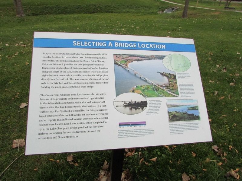
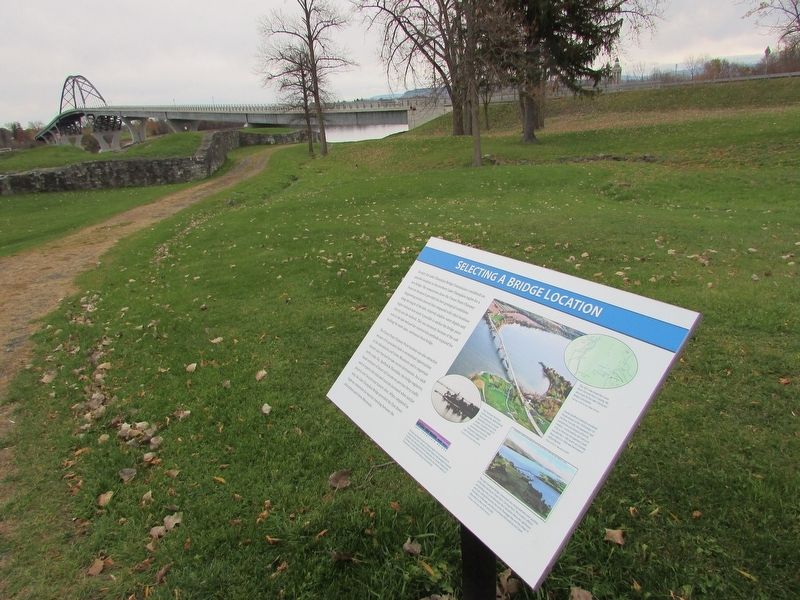
In 1927, the Lake Champlain Bridge Commission considered six possible locations in the southern Lake Champlain region for a new bridge. The commission chose the Crown Point-Chimney Point site because it provided the best geological conditions. Engineering studies showed that compared with other locations along the length of the lake, relatively shallow water depths and higher bedrock here made it possible to anchor the bridge piers directly into the bedrock. This was necessary because of the soft soils in the lake bed and the construction methods required for building the multi-span, continuous truss bridge.
The Crown Point-Chimney Point location was also attractive because of its proximity both to recreational opportunities in the Adirondacks and Green Mountains and to important historic sites that had become tourist destinations. In a 1928 traffic study, Fay, Spofford & Thorndike, the bridge engineers, based estimates of future toll income on previous ferry traffic and on reports that indicated tourism increased when similar projects were located near historic sites. When completed in 1929, the Lake Champlain Bridge provided the first direct highway connection for tourists traveling between the Adirondack and Green Mountains.
Topics. This historical marker is listed in this topic list: Bridges & Viaducts.
Location. 44° 1.779′ N, 73° 25.6′ W. Marker is in Crown Point, New York, in Essex County. Marker is in Crown Point State Historic Site, along the Fort St. Frédéric walking trail. Touch for map. Marker is in this post office area: Crown Point NY 12928, United States of America. Touch for directions.
Other nearby markers. At least 8 other markers are within walking distance of this marker. Welcome To The Lake Champlain Bridge Heritage Area (a few steps from this marker); Eastern Terminus (within shouting distance of this marker); The French at Crown Point (within shouting distance of this marker); Crown Point (within shouting distance of this marker); Crown Point: Military Focus (within shouting distance of this marker); Gen. Henry Knox Trail (within shouting distance of this marker); The White Flag (about 300 feet away, measured in a direct line); Fort St. Frédéric (about 300 feet away). Touch for a list and map of all markers in Crown Point.
More about this marker. An aerial photograph of the 1929 bridge appears on the right side of the marker, with a caption of “Charles Spofford carefully considered the placement of the 1929 bridge. On the New York side, the approach road avoided the east bastion of Fort St. Frédéric, constructed by the French in 1734. In Vermont, the approach road avoided the c. 1785 tavern at Chimney Point, which in 1929 was the home of Millard Barnes.”
Below this is another photo
which has a caption of “The Lake Champlain Bridge Commission also recognized the scenic qualities of the lake crossing at Crown Point-Chimney Point. This location offered outstanding views in all directions: the Champlain Memorial Lighthouse and lush, rolling farmland to the south, Bulwagga Bay and the village of Port Henry to the west, and the picturesque Adirondacks and Green Mountains to the north and east.”
Credits. This page was last revised on November 13, 2018. It was originally submitted on November 13, 2018, by Bill Coughlin of Woodland Park, New Jersey. This page has been viewed 173 times since then and 17 times this year. Photos: 1, 2, 3. submitted on November 13, 2018, by Bill Coughlin of Woodland Park, New Jersey.


