Near Salem in Washington County, Indiana — The American Midwest (Great Lakes)
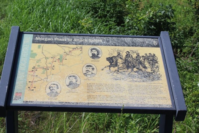
Morgan Plans to Attack Salem
— John Hunt Morgan Heritage Trail —
From here, Morgan and the main column moved north, across the middle fork of the Blue River and then 4½ miles to the town of Salem. In Salem he expected to rendezvous with two companies of troopers detached earlier in Kentucky to create chaos in Louisville. Many of those, however, were captured crossing the Ohio River northeast of Louisville. Others made it as far as Pekin, only to be surrounded by Union troops. In the brief skirmish that followed, one was killed, five were wounded, and 20 were taken prisoner.
General Edward H. Hobson and the pursuing Union cavalry reached Corydon at 10 a.m. and passed point in the afternoon.
Erected by Historic Hoosier Hills RC&D, Inc. (Marker Number 6.)
Topics and series. This historical marker is listed in this topic list: War, US Civil. In addition, it is included in the John Hunt Morgan Heritage Trail in Indiana series list. A significant historical date for this entry is July 10, 1863.
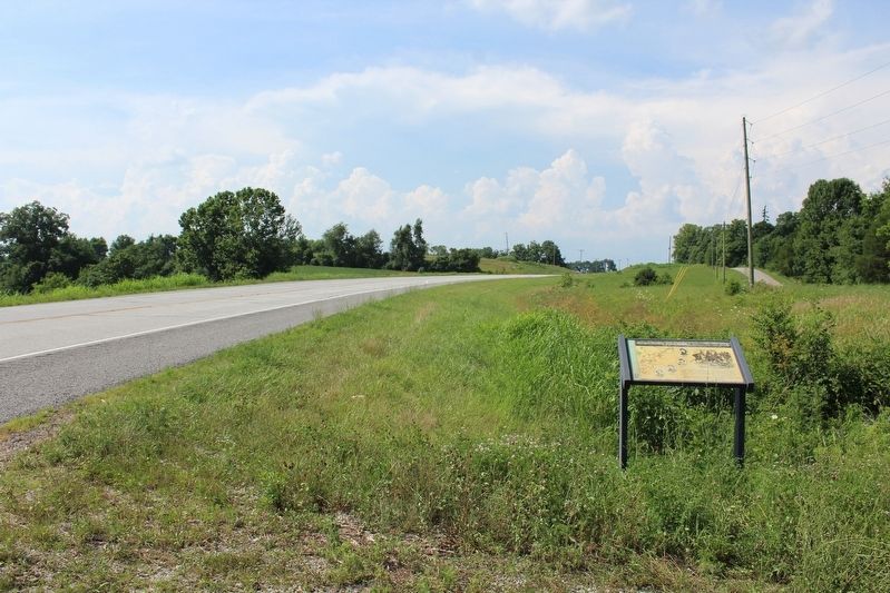
Location. 38° 33.629′ N, 86° 5.856′ W. Marker is near Salem, Indiana, in Washington County. Marker is on Indiana Route 135, 0.1 miles south of East Terrell Lane, on the left when traveling north. Touch for map. Marker is in this post office area: Salem IN 47167, United States of America. Touch for directions.
Other nearby markers. At least 8 other markers are within 4 miles of this marker, measured as the crow flies. Burning the Salem Railroad Station (approx. 2.9 miles away); Birthplace of John Milton Hay (approx. 3.1 miles away); Morgan's Raid (approx. 3.1 miles away); Salem Suffers (approx. 3.1 miles away); Washington County Veterans Memorial (approx. 3.1 miles away); Washington County Honor Rolls Memorial (approx. 3.1 miles away); John Hay Center (approx. 3.1 miles away); a different marker also named Washington County Veterans Memorial (approx. 3.1 miles away). Touch for a list and map of all markers in Salem.
Credits. This page was last revised on November 15, 2018. It was originally submitted on November 14, 2018, by Tom Bosse of Jefferson City, Tennessee. This page has been viewed 422 times since then and 18 times this year. Photos: 1, 2, 3, 4. submitted on November 14, 2018, by Tom Bosse of Jefferson City, Tennessee. • Bernard Fisher was the editor who published this page.


