Hexham in Northumberland, England, United Kingdom — Northwestern Europe (the British Isles)
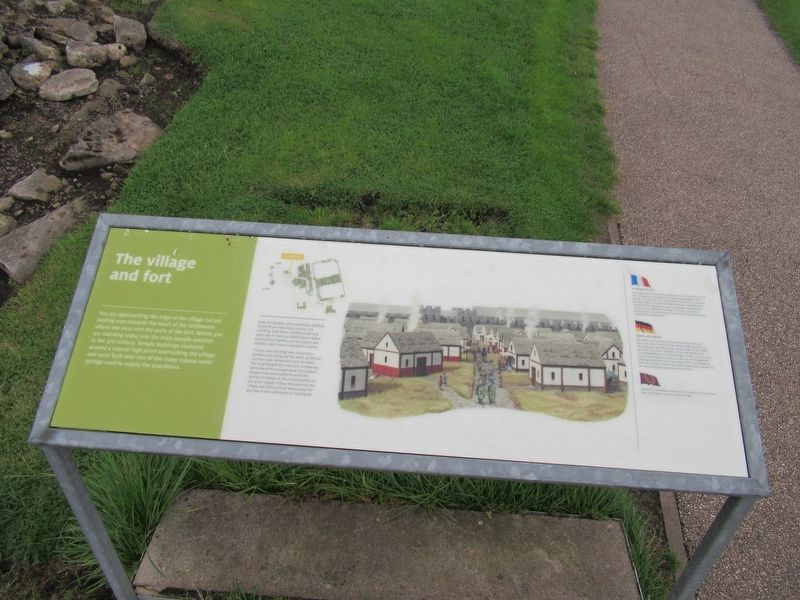
The village and fort
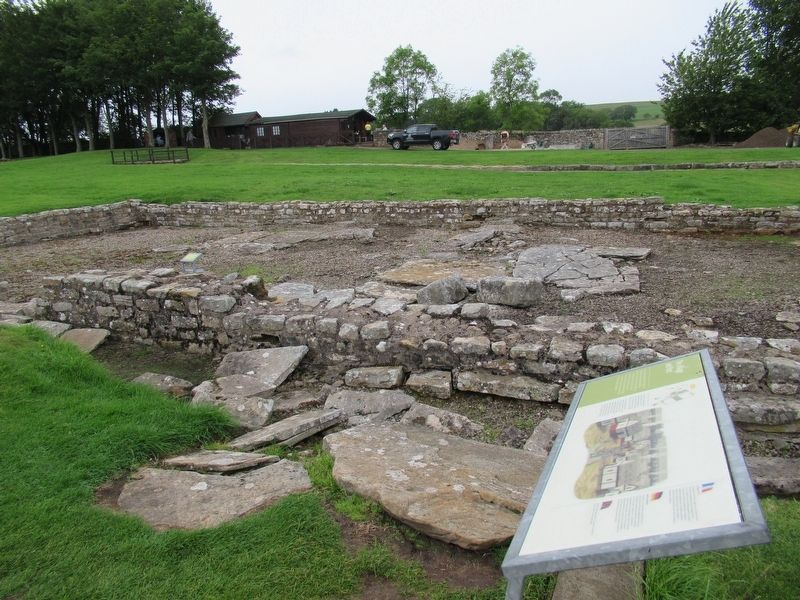
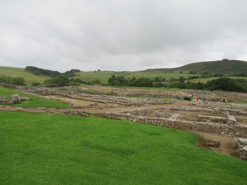
You are approaching the edge of the village (vicus), looking east towards the heart of the settlement where the vicus met the walls of the fort. Where you are standing today was the main temple precinct in the 3rd century. Temple buildings clustered around a natural high point overlooking the village and were built near one of the many natural water springs used to supply the population.
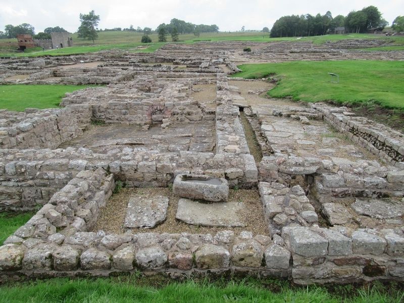
Near the temples were workshops (fabrica) where heavy industries, such as iron smelting, took place. Cobbled yards and open spaces were provided where traders could set up markets and merchants and soldiers could store or stockpile supplies.
You are also standing near a boundary between the living and the dead, as behind you the main cemeteries carry on down the road towards the next fort. Cemeteries were placed far enough away from where people lived and worked to avoid the spread of disease or the contamination of the water supply. Follow the path into the village and find out more about what life was like in the settlement of Vindolanda.
Topics. This historical marker is listed in these topic lists: Forts and Castles • Settlements & Settlers.
Location. 54° 59.481′ N, 2° 21.749′ W. Marker is in Hexham, England, in Northumberland. Marker can be reached from road 68, 4 kilometers north of England Route A69, on the left when traveling north. Located at Vindolanda Roman fort and village archaeological site. Touch for map. Marker is in this post office area: Hexham, England NE47 7JN, United Kingdom. Touch for directions.
Other nearby markers. At least 8 other markers are within walking distance of this marker. The heart of the fort (within shouting distance of this marker); A military community (within shouting distance of this marker); North West Quadrant Barracks (within shouting distance of this marker); Beneath the soil (within shouting distance of this marker); Severan Circular Huts (within shouting distance of this marker); The Severan fort (within shouting distance of this marker); Workshops (about 150 meters away, measured in a direct line); Dolichenum (about 180 meters away). Touch for a list and map of all markers in Hexham.
Also see . . . Vindolanda on Wikipedia. (Submitted on November 14, 2018, by Michael Herrick of Southbury, Connecticut.)
Credits. This page was last revised on January 27, 2022. It was originally submitted on November 14, 2018, by Michael Herrick of Southbury, Connecticut. This page has been viewed 75 times since then and 4 times this year. Photos: 1, 2, 3, 4. submitted on November 14, 2018, by Michael Herrick of Southbury, Connecticut.


