Hexham in Northumberland, England, United Kingdom — Northwestern Europe (the British Isles)
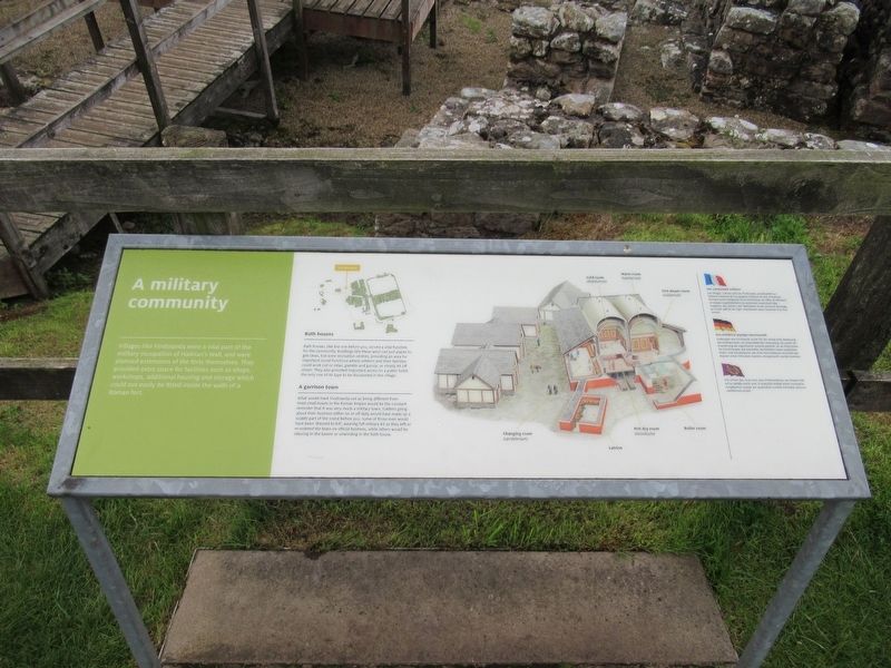
A military community
A military community
Villages like Vindolanda were a vital part of the military occupation of Hadrian's Wall, and were planned extensions of the forts themselves. They provided extra space for facilities such as shops, workshops, additional housing and storage which could not easily be fitted inside the walls of a Roman fort.
Bath houses
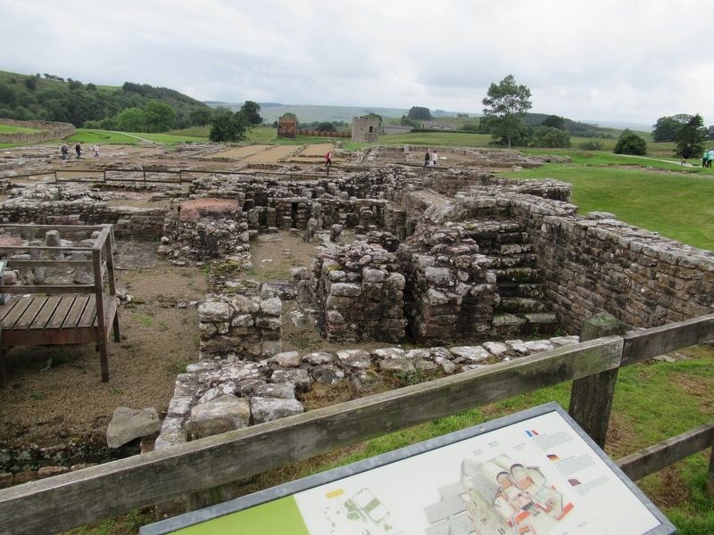
Bath houses, like the one before you, served a vital function for the community. Buildings like these were not just places to get clean, but were recreation centres, providing an area for important social functions where soldiers and their families could work out or relax, gamble and gossip, or simply let off steam. They also provided important access to a public toilet, the only one of its type to be discovered in the village.
A garrison town
What would mark Vindolanda out as being different from most small towns in the Roman Empire would be the constant reminder that it was very much a military town. Soldiers going about their business either on or off duty would have made up a sizable part of the scene before you. Some of those men would have been 'dressed to kill’, wearing full military kit as they left or re-entered the town on official business, while others would be relaxing in the tavern or unwinding in the bath house.
Topics. This historical marker is listed in these topic lists: Forts and Castles • Settlements & Settlers.
Location. 54° 59.476′ N, 2° 21.713′ W. Marker is in Hexham, England, in Northumberland. Marker can be reached from road 68, 4 kilometers north of England Route A69, on the left when traveling north. Located at Vindolanda Roman fort and village archaeological site. Touch for map. Marker is in this post office area: Hexham, England NE47 7JN, United Kingdom. Touch for directions.
Other nearby markers. At least 8 other markers are within walking distance of this marker. The heart of the fort (a few steps from this marker); North West Quadrant Barracks (within shouting distance of this marker); Beneath the soil (within shouting distance of this marker); The Severan fort (within shouting distance of this marker); The village and fort (within shouting distance of this marker); Severan Circular Huts (within shouting distance of this marker); Workshops (about 120 meters away, measured in a direct line); Dolichenum (about 150 meters away). Touch for a list and map of all markers in Hexham.
Also see . . . Vindolanda on Wikipedia. (Submitted on November 16, 2018, by Michael Herrick of Southbury, Connecticut.)
Credits. This page was last revised on January 27, 2022. It was originally submitted on November 16, 2018, by Michael Herrick of Southbury, Connecticut. This page has been viewed 197 times since then and 28 times this year. Photos: 1, 2, 3. submitted on November 16, 2018, by Michael Herrick of Southbury, Connecticut.


