Point Pleasant in Mason County, West Virginia — The American South (Appalachia)
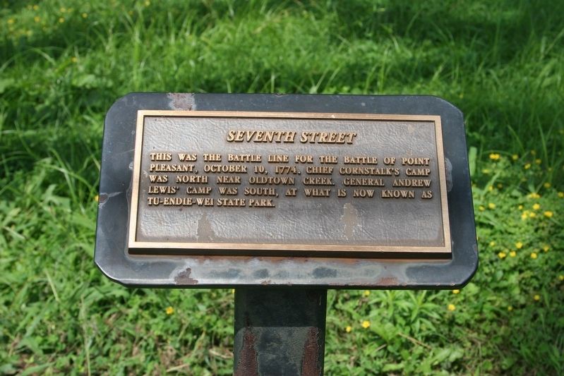
Seventh Street
Inscription.
This was the battle line for the Battle of Point Pleasant, October 10, 1774. Chief Cornstalk's camp was north near Oldtown Creek. General Andrew Lewis' camp was south, at what is now known as Tu-Endie-Wei State Park.
Topics. This historical marker is listed in these topic lists: Colonial Era • War, US Revolutionary. A significant historical date for this entry is October 10, 1774.
Location. 38° 50.738′ N, 82° 8.284′ W. Marker is in Point Pleasant, West Virginia, in Mason County. Marker is at the intersection of Main Street and Seventh Street, on the left when traveling north on Main Street. Touch for map. Marker is in this post office area: Point Pleasant WV 25550, United States of America. Touch for directions.
Other nearby markers. At least 8 other markers are within walking distance of this marker. 704 Main Street (within shouting distance of this marker); 707 Main Street (within shouting distance of this marker); Gordon C. and Mildred R. Jackson Foundation (within shouting distance of this marker); 615 Main Street (within shouting distance of this marker); 708 Main Street (within shouting distance of this marker); 711 Main Street (within shouting distance of this marker); Daniel Haymond Polsley (about 300 feet away, measured in a direct line); Corner of Sixth and Main Street (about 300 feet away). Touch for a list and map of all markers in Point Pleasant.
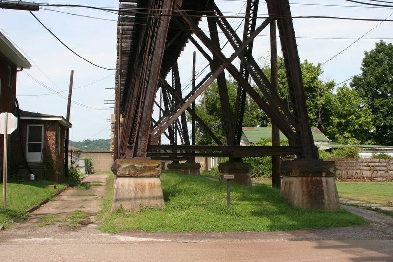
More about this marker. The marker is located under the railroad trestle.
Regarding Seventh Street. The marker indicates the battle line of the Battle of Point Pleasant. There is no indication on the small marker who sponsored its placement.
Additional keywords. Lord Dunmore's War
Credits. This page was last revised on November 18, 2018. It was originally submitted on November 17, 2018, by J. Wesley Baker of Springfield, Ohio. This page has been viewed 223 times since then and 29 times this year. Photos: 1, 2. submitted on November 17, 2018, by J. Wesley Baker of Springfield, Ohio. • Andrew Ruppenstein was the editor who published this page.

