Gainesville in Alachua County, Florida — The American South (South Atlantic)
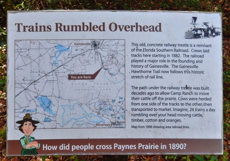
Trains Rumbled Overhead
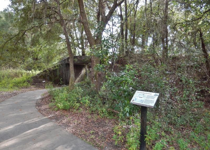
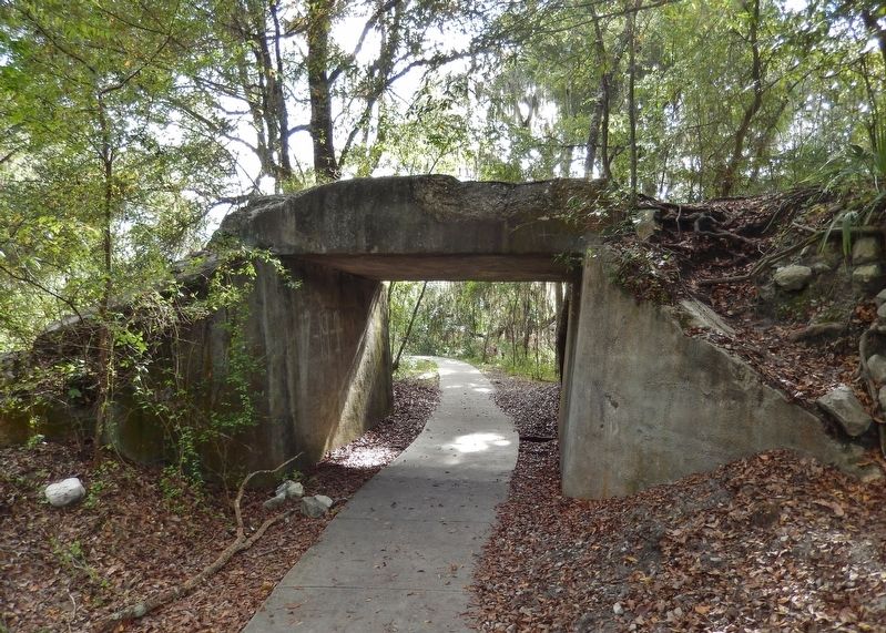
The path under the railway trestle was built decades ago to allow Camp Ranch to move their cattle off the prairie. Cows were herded from one side of the tracks to the other, then transported to market. Imagine, 24 trains a day rumbling over your head moving cattle, timber, cotton and oranges.
Topics. This historical marker is listed in these topic lists: Bridges & Viaducts • Railroads & Streetcars. A significant historical year for this entry is 1882.
Location. 29° 36.511′ N, 82° 18.23′ W. Marker is in Gainesville, Florida, in Alachua County. Marker can be reached from Southeast 15th Street (Camp Ranch Road), 0.4 miles south of Southeast 41st Avenue when traveling south. Marker is located on the La Chua Trail, in Paynes Prairie Preserve State Park, 1/8 mile south (by foot only) of the La Chua Trailhead. Touch for map. Marker is at or near this postal address: 4270 Southeast 15th Street, Gainesville FL 32641, United States of America. Touch for directions.
Other nearby markers. At least 8 other markers are within 3 miles of this marker, measured as the crow flies. A Cattle Economy (about 400 feet away, measured in a direct line); Living Links to Florida's Past (about 400 feet away); Alachua Sink (about 700 feet away); Gainesville’s Only Artesian Spring (approx. 0.9 miles away); Boulware Springs Water Works Building (approx. 0.9 miles away); Jesse Johnson Finley (approx. 1½ miles away); Evergreen Cemetery (approx. 1.7 miles away); Serenola Plantation (approx. 2.4 miles away). Touch for a list and map of all markers in Gainesville.
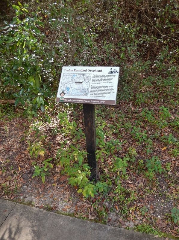
More about this marker. Marker is a large composite plaque, mounted horizontally, at waist-level, on a metal post.
Also see . . . Florida Southern Railway. The Florida Southern Railway was first chartered as the Gainesville, Ocala, and Charlotte Harbor Railroad in 1879, with a planned route from Lake City to Charlotte Harbor with a branch to Palatka. The name was then changed to the Florida Southern Railway in 1881. The first segment of the line opened on August 21, 1881 from Gainesville to Palatka. The line was extended from Rochelle just south of Gainesville to Ocala by the end of 1881. By 1983, the southern end of the main line reached Leesburg, and the northern end was extended from Gainesville to Hague. (Submitted on November 19, 2018, by Cosmos Mariner of Cape Canaveral, Florida.)
Credits. This page was last revised on November 21, 2018. It was originally submitted on November 18, 2018, by Cosmos Mariner of Cape Canaveral, Florida. This page has been viewed 314 times since then and 29 times this year. Photos: 1, 2, 3, 4, 5. submitted on November 19, 2018, by Cosmos Mariner of Cape Canaveral, Florida. • Andrew Ruppenstein was the editor who published this page.
