Bradenton in Manatee County, Florida — The American South (South Atlantic)
Hernando de Soto
Florida De Soto Trail
— Off to Seek His Fortune —
In Panama with Pedrarias
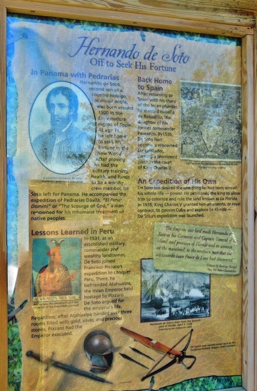
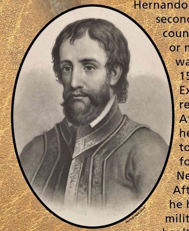
Hernando de Soto, second son of a country hidalgo, or minor noble, was born around 1500 in the Extremadura region of Spain. At age 13, he left home to seek his fortune in the New World. After proving he had the military training, health, and funds to be a worthy crew member, De Soto left for Panama. He accompanied the expedition of Pedrarias Davila, “El Furor Domini” or “The Scourge of God,” a man renowned for his inhumane treatment of native peoples.
Lessons Learned in Peru
In 1531, as an established military commander and wealthy landowner, De Soto joined Francisco Pizzaro's expedition to conquer Peru. There, he befriended Atahualpa, the Incan Emperor held hostage by Pizzaro. De Soto argued for the emperor’s life. Regardless, after Atahualpa handed over three rooms filled with gold, silver, and precious stones, Pizzaro had the Emperor executed.
Back Home to Spain
After returning to Spain with his share of the Incan plunder, he married Isabela de Bobadilla, the daughter of his former commander Pedrarias. By1536, De Soto had become a renowned conquistador, earning a prominent place in the court of King Charles V.
An Expedition of His Own
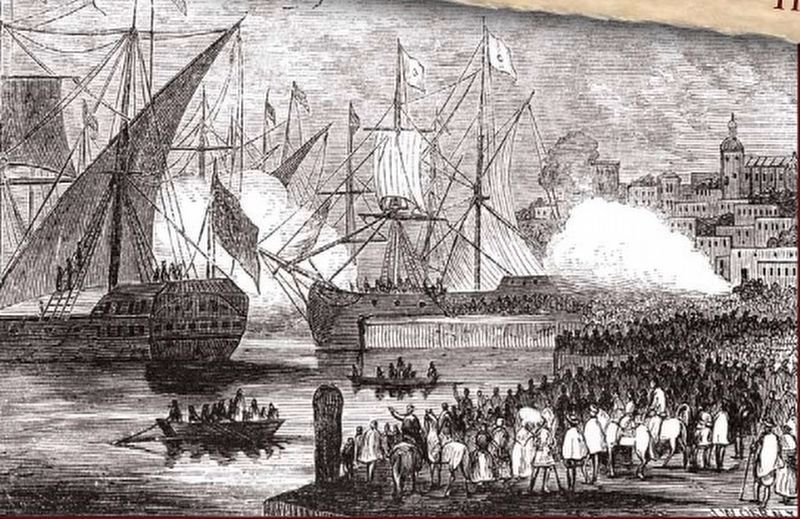
De Soto still desired the one thing he had been denied his whole life—power. He petitioned the king to allow him to colonize and rule the land known as La Florida. In 1538, King Charles V granted him an asiento, or royal contract, to govern Cuba and explore La Florida—De Soto's expedition was launched.
”The Emperor our lord made Hernando de Soto his Governor and Captain General of his island and province of Florida and its annexes on the mainland, to the northern part that the adelantado Juan Ponce de Leon had discovered.”
- Account by Rodrigo Rangel, The De Soto Chronicles
Erected by Florida De Soto Trail, Florida Department of Transportation, the Florida Park Service, and the National Park Service. (Marker Number 1a.)
Topics. This historical marker is listed in these topic lists: Colonial Era • Exploration • Settlements & Settlers.
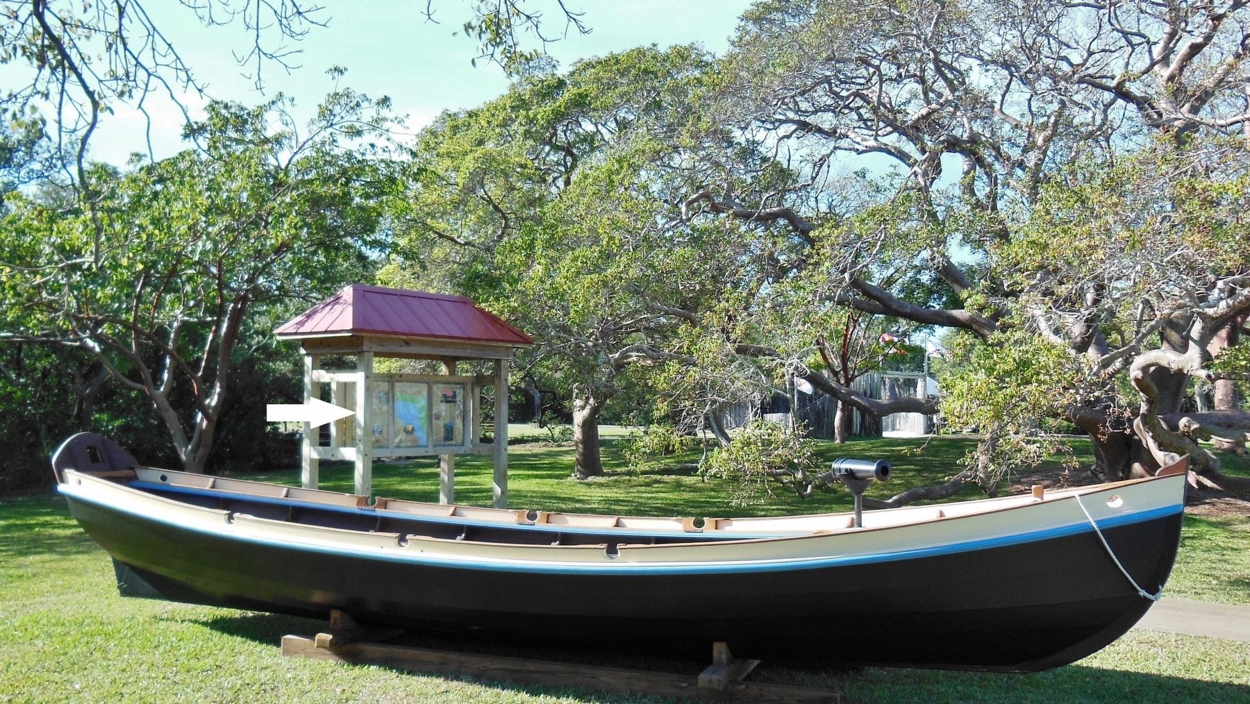
Location. 27° 31.424′ N, 82° 38.651′ W. Marker is in Bradenton, Florida, in Manatee County. Marker can be reached from Desoto Memorial Highway (75th Street NW), 0.2 miles north of 24th Avenue NW when traveling north. Marker is located within the DeSoto National Memorial Park, along the walkway between the main front entrance and the park Visitor Center. This marker is the left-end
panel of a 3-panel kiosk. Touch for map. Marker is at or near this postal address: 8300 Desoto Memorial Highway, Bradenton FL 34209, United States of America. Touch for directions.
Other nearby markers. At least 8 other markers are within walking distance of this marker. La Florida's Early Peoples (here, next to this marker); De Soto Trail Monument (a few steps from this marker); The Spanish Crown (within shouting distance of this marker); DeSoto Trail (within shouting distance of this marker); The Landing (within shouting distance of this marker); Knight of Santiago (within shouting distance of this marker); Camp Uzita (within shouting distance of this marker); Tabby House Ruins (approx. 0.2 miles away). Touch for a list and map of all markers in Bradenton.
Related markers. Click here for a list of markers that are related to this marker. Florida De Soto Trail
Also see . . .
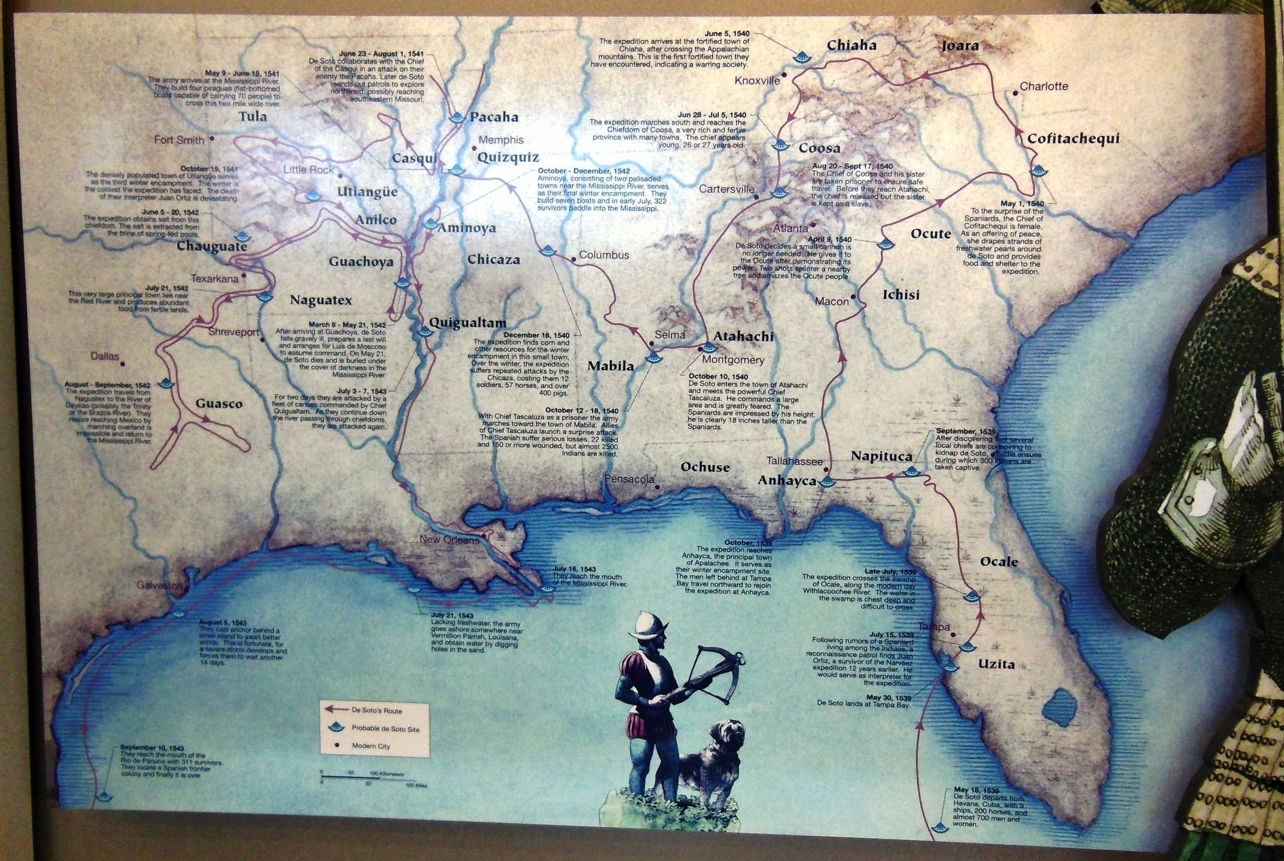
1. Hernando de Soto. By May 18, 1539, de Soto and his fleet at last set out for Florida. On May 25 they landed at Tampa Bay. For the next three years de Soto and his men explored the southeastern United States, facing ambushes and enslaving natives along the way. After Florida came Georgia and then Alabama. In Alabama, de Soto encountered his worst battle yet, against Indians in Tuscaloosa. Victorious, de Soto and his men next headed westward, serendipitously discovering the mouth of
the Mississippi River in the process. De Soto's voyage would, in fact, mark the first time that a European team of explorers had traveled via the Mississippi River.
Death
After crossing the Mississippi de Soto was struck with fever. He died on May 21, 1542, in Ferriday, Louisiana. (Submitted on October 24, 2018, by Cosmos Mariner of Cape Canaveral, Florida.)
2. De Soto’s Expedition to North America. De Soto set out from Spain in April 1538, set with 10 ships and 700 men. After a stop in Cuba, the expedition landed at Tampa Bay in May 1539. They moved inland and eventually set up camp for the winter at a small Indian village near present-day Tallahassee. Ultimately, the passed through the Carolinas, Tennessee, Alabama, Arkansas and Louisiana, guided by Indians whom they took captive along the way. Early in 1542 De Soto took ill with a fever. After his death that May, his comrades buried his body in the Mississippi river. His successor, Luis de Moscoso, led the remnants of the expedition (which was eventually decimated by half) on rafts down the Mississippi, finally reaching Mexico in 1543. (Submitted on October 24, 2018, by Cosmos Mariner of Cape Canaveral, Florida.)
3. Hernando de Soto. Hernando de Soto, born c. 1496/97, Jerez de los Caballeros, Badajoz, Spain, died May 21, 1542, along the Mississippi River in
present-day Louisiana. Spanish explorer and conquistador who participated in the conquests of Central America and Peru and, in the course of exploring what was to become the southeastern United States, discovered the Mississippi River. (Submitted on October 24, 2018, by Cosmos Mariner of Cape Canaveral, Florida.)
4. Hernando de Soto. In May 1539, de Soto landed nine ships with over 620 men and 220 horses in an area generally identified as south Tampa Bay. He named the land as Espíritu Santo after the Holy Spirit. The ships carried priests, craftsmen, engineers, farmers, and merchants; some with their families, some from Cuba, most from Europe and Africa. Few of the men had traveled before outside of Spain, or even away from their home villages. (Submitted on October 25, 2018, by Cosmos Mariner of Cape Canaveral, Florida.)
Photographed By Cosmos Mariner, December 20, 2012
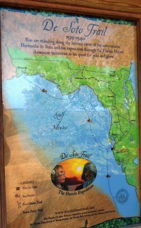
5. Florida De Soto Trail Map (adjacent panel at center of marker kiosk)
1539-1540
Credits. This page was last revised on December 15, 2020. It was originally submitted on October 24, 2018, by Cosmos Mariner of Cape Canaveral, Florida. This page has been viewed 663 times since then and 41 times this year. Last updated on November 21, 2018, by Cosmos Mariner of Cape Canaveral, Florida. Photos: 1, 2, 3, 4, 5, 6. submitted on October 24, 2018, by Cosmos Mariner of Cape Canaveral, Florida. • Bernard Fisher was the editor who published this page.
