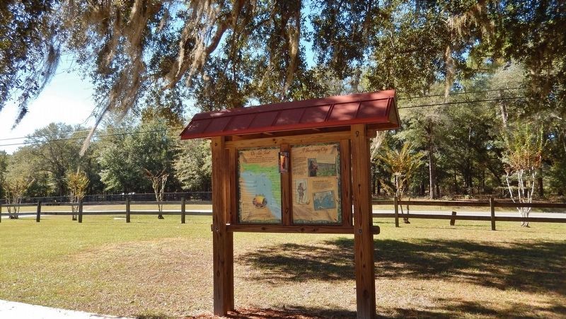
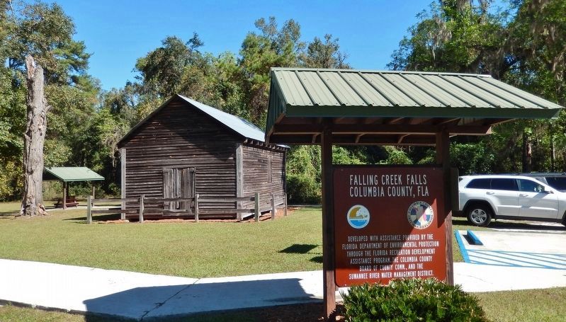
Near Lake City in Columbia County, Florida — The American South (South Atlantic)
A Bargaining Chip
Florida De Soto Trail
— September 10, 1539 —
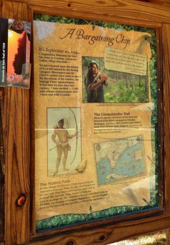
Conquistador Hernando de Soto has come to Uriutina, a deserted Indian village near here.
We have feasted upon the bounty of food left behind by the fleeing villagers. Messengers sent by Chief Uzachile have come to plead for the release of his relative, our hostage Chief Aguacalequen. It has been 24 days since his capture. I have decided – I will only release Aguacalequen once I have met with Uzachile.
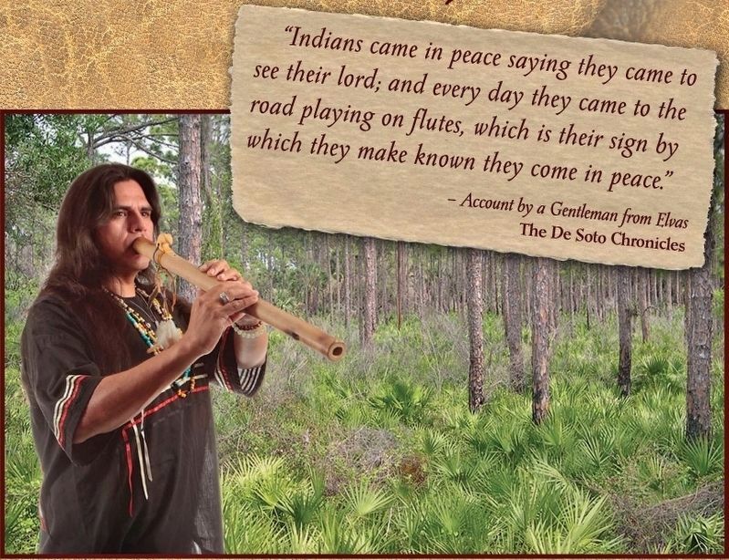
”Indians came in peace saying they came to see their lord; and every day they came to the road playing on flutes, which is their sign by which they make known they come in peace.”
- Account by a Gentleman from Elvas
The De Soto Chronicles
The Conquistador Trail
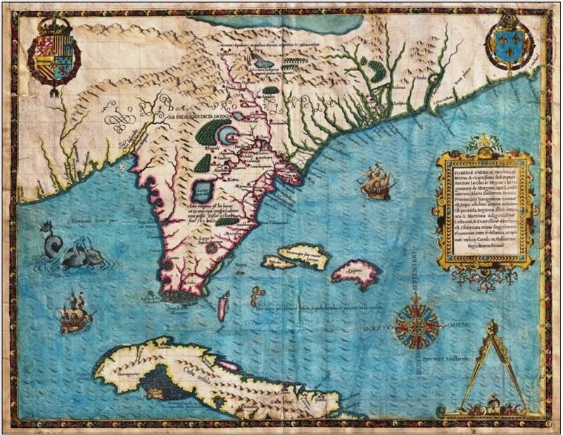
Many Europeans had heard of the fame and fortune of De Soto’s conquests in Panama, Nicaragua, and Peru. Men, women, and children came from all over Spain, England, Germany, and Portugal to march with De Soto and find their own fortunes in La Florida.
The Native Path
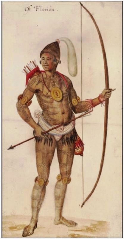
At the village of Uriutina, Chief Aguacalequen received a message from his ally, Chief Napituca. He was told that Napituca’s warriors planned to ambush the Spanish. They would torture the men in revenge for the cruelties inflicted upon their tribe by De Soto. Aguacalequen begged Napituca to rethink his plan because he believed the Spanish could not be defeated in war.
Erected by Florida De Soto Trail, Florida Department of Transportation, the Florida Park Service, and the National Park Service. (Marker Number 23.)
Topics. This historical marker is listed in these topic lists: Colonial Era • Exploration • Native Americans • Notable Events. A significant historical date for this entry is September 10, 1539.
Location. 30° 15.495′ N, 82° 40.126′ W. Marker is near Lake City, Florida, in Columbia County. Marker is on Northwest Falling Creek Road (County Road 131) 0.9 miles north of US Highway 41 (State Road 100), on the right when traveling north. Marker is located in Falling Creek Falls park, along the Falling Creek Falls trail, just north of the parking lot, on the east side of the highway. Touch for map. Marker is at or near this postal address: 953 Northwest Falling Creek Road, Lake City FL 32055, United States of America. Touch for directions.
Other nearby markers. At least 8 other markers are within 5 miles of this marker, measured as the crow flies. Falling Creek Falls (a few steps from this marker); Falling Creek Methodist Church and Cemetery (approx. 0.3 miles away); Finley/Richardson High School (approx. 4.4 miles away); 9-11 Never Forget (approx. 5.1 miles away); Operation Desert Storm (approx.
5.1 miles away); Columbia County Korean Conflict Memorial (approx. 5.1 miles away); Vietnam Veteran Memorial (approx. 5.1 miles away); World War II Memorial (approx. 5.1 miles away). Touch for a list and map of all markers in Lake City.
More about this marker. Marker is a large, composite plaque mounted vertically within a heavy-duty wooden kiosk.
Related markers. Click here for a list of markers that are related to this marker. Florida De Soto Trail
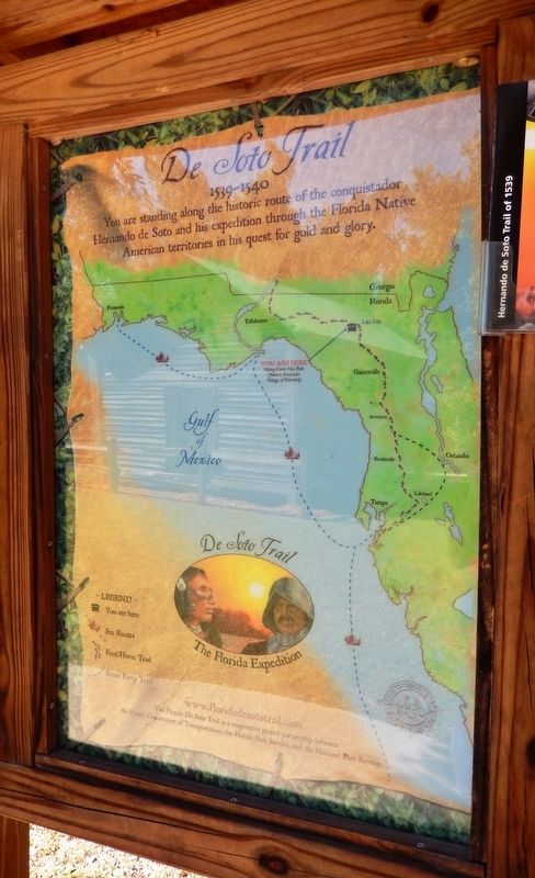
Also see . . . De Soto’s Expedition to North America. In 1536, de Soto obtained a royal commission to conquer and settle the region known as La Florida (now the southeastern United States), which had been the site of earlier explorations by Juan Ponce de León and others. De Soto set out from Spain in April 1538, set with 10 ships and 700 men. After a stop in Cuba, the expedition landed at Tampa Bay in May 1539. They moved inland and eventually set up camp for the winter at a small Indian village near present-day Tallahassee. (Submitted on November 7, 2018, by Cosmos Mariner of Cape Canaveral, Florida.)
Photographed By Cosmos Mariner, November 3, 2018
5. Florida De Soto Trail Map (panel to the left of marker in kiosk)
1539-1540
Credits. This page was last revised on January 5, 2021. It was originally submitted on November 6, 2018, by Cosmos Mariner of Cape Canaveral, Florida. This page has been viewed 453 times since then and 34 times this year. Last updated on November 21, 2018, by Cosmos Mariner of Cape Canaveral, Florida. Photos: 1, 2, 3, 4, 5, 6. submitted on November 7, 2018, by Cosmos Mariner of Cape Canaveral, Florida. 7. submitted on December 27, 2018, by Cosmos Mariner of Cape Canaveral, Florida. • Bernard Fisher was the editor who published this page.
